The Candelabra of the Andes, Paracas, Peru

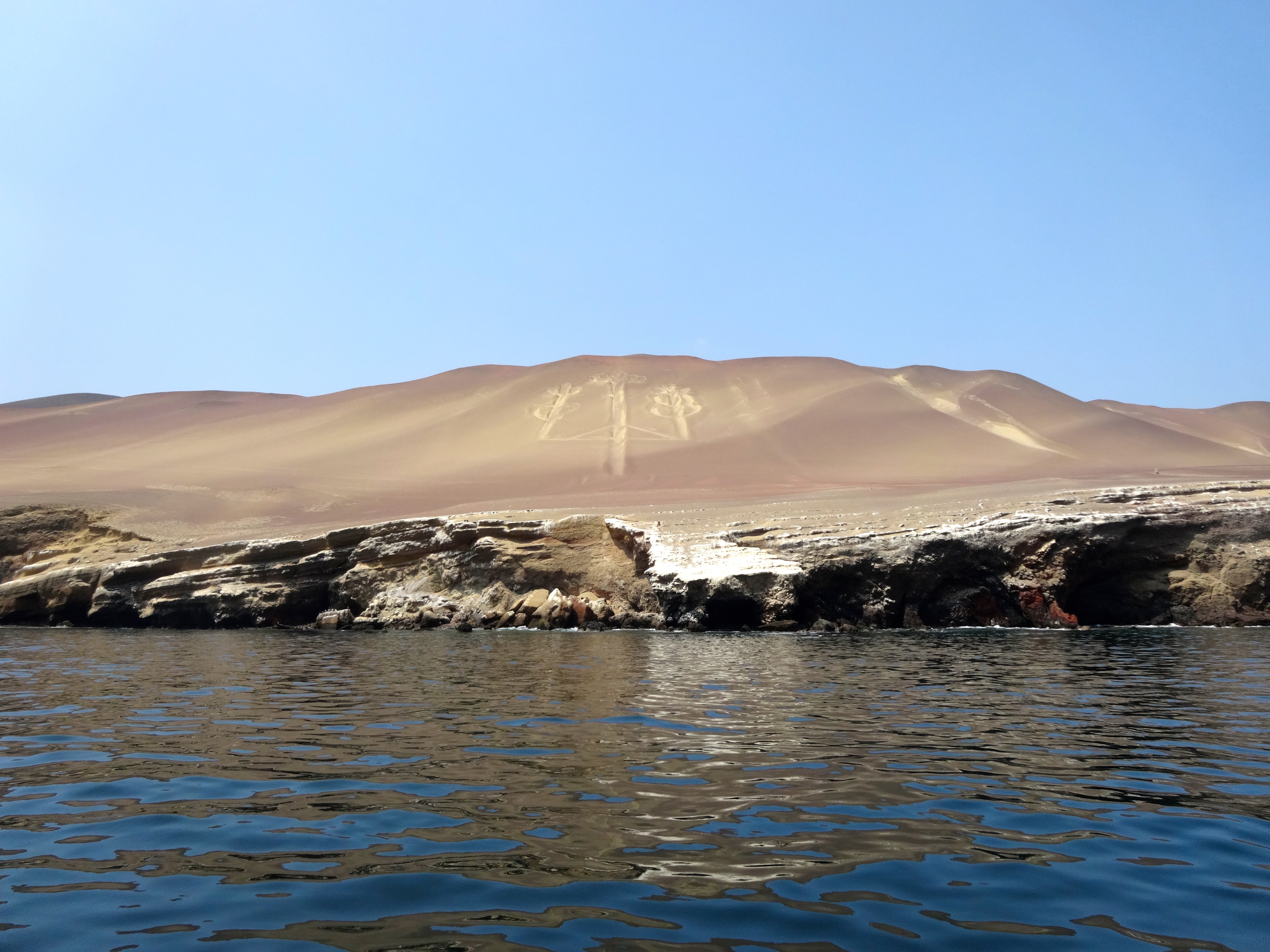
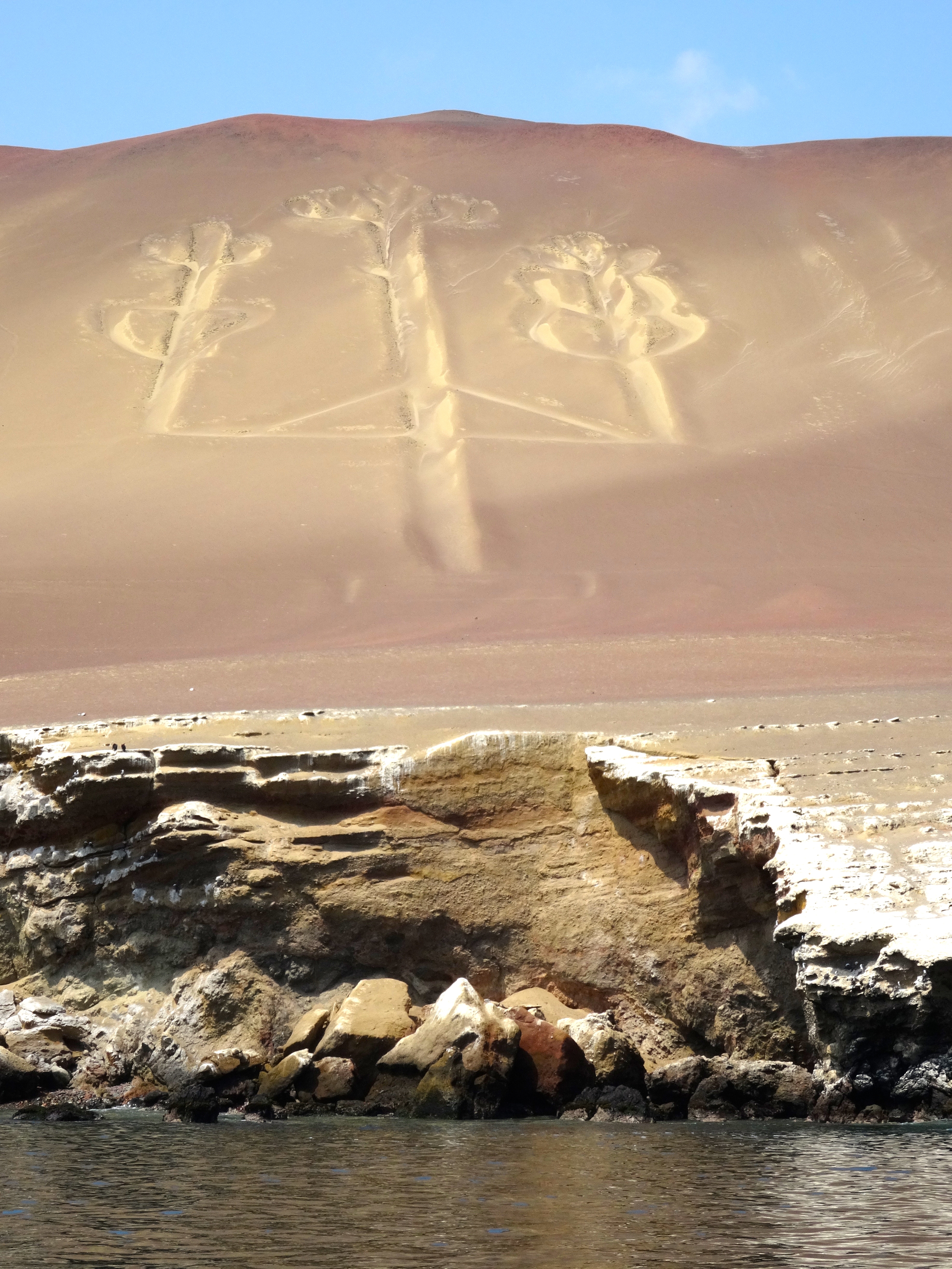
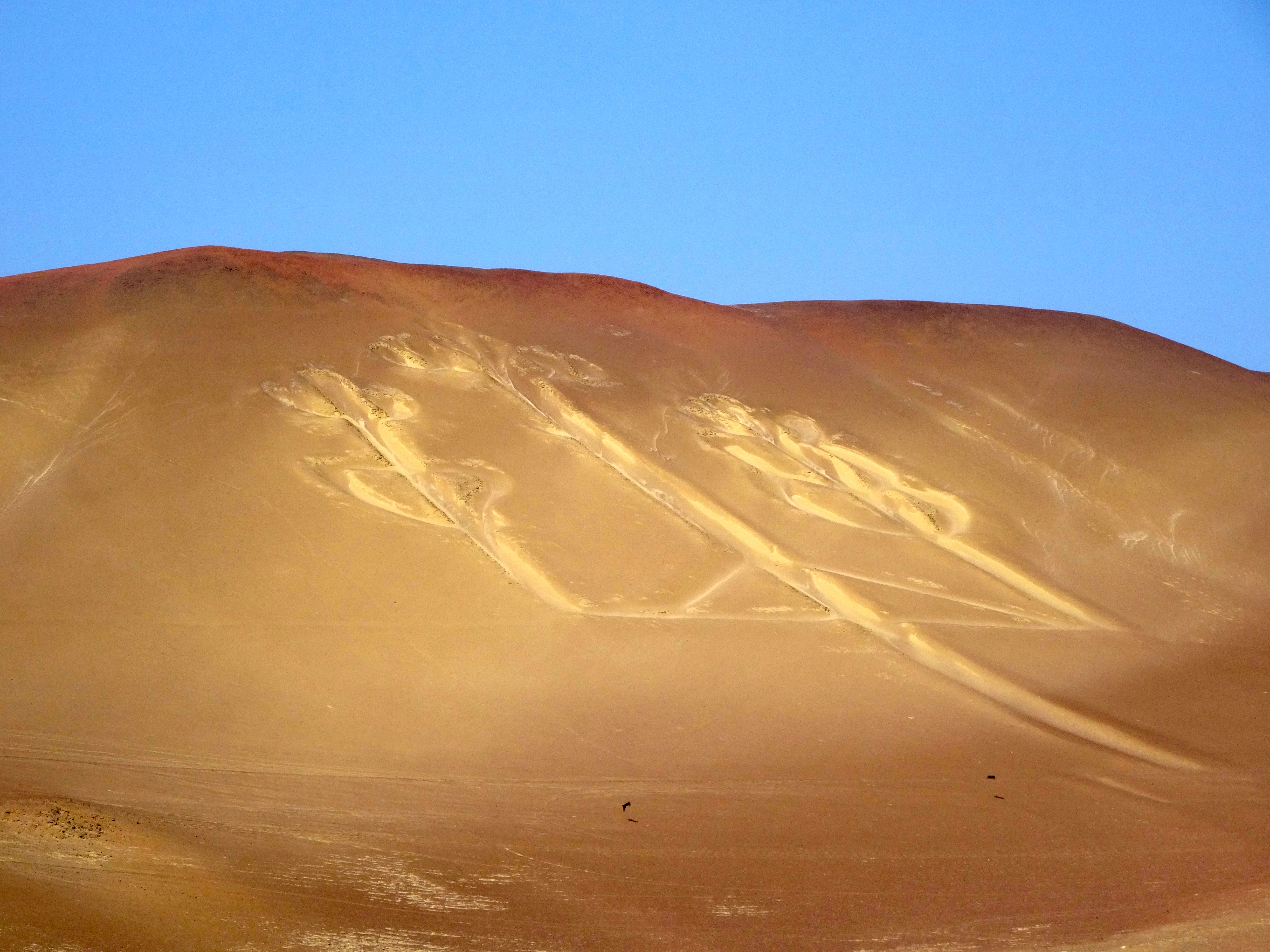
This is the most enigmatic giant ground drawings (geoglyphs) in South America.  It is best seen from a several miles out at sea.  I saw it fairly close (about a few miles to a few hundred yards.)  It is etched into a sloping mountainside at Pisco Bay on the Peruvian coast.  The figure resembles a candlestick; thus its name “The Candelabra of the Andes.”  It is about 600 feet long and is visible from 12 miles out at sea.  It also is located in a place that receives less then one-half and inch (or 1 cm) of rain annually.  The prevailing winds come from behind (the south).  Thus it is protected from wind and rain.  It remains today pretty much the way it was over 2 millenia ago.

Archeologists have found pottery nearby which has been carbon dated to 200 BC and part of the Paracas Culture. Its purpose and symbology are in doubt, however one theory is that is was dug as a marker of some sort.  Some archeologists say it is merely a trident.  It was discovered in 1860.  There is also a theory that it is related to a similar symbol found in California’s Cleveland National Forest.  The archeologist associates the two candelabras in this way: The ancient inhabitants of Peru voyaged to California to collect Jimson Weed and other hallucinatory drugs.  The archeologist believes the symbol resembles the Jimson Weed itself and served as a navigational aid.  Hallucinatory drugs were widely used by these peoples in ceremonies and rituals. Please note that the hallucinagens were not used as navigational aids, just the symbol of course.
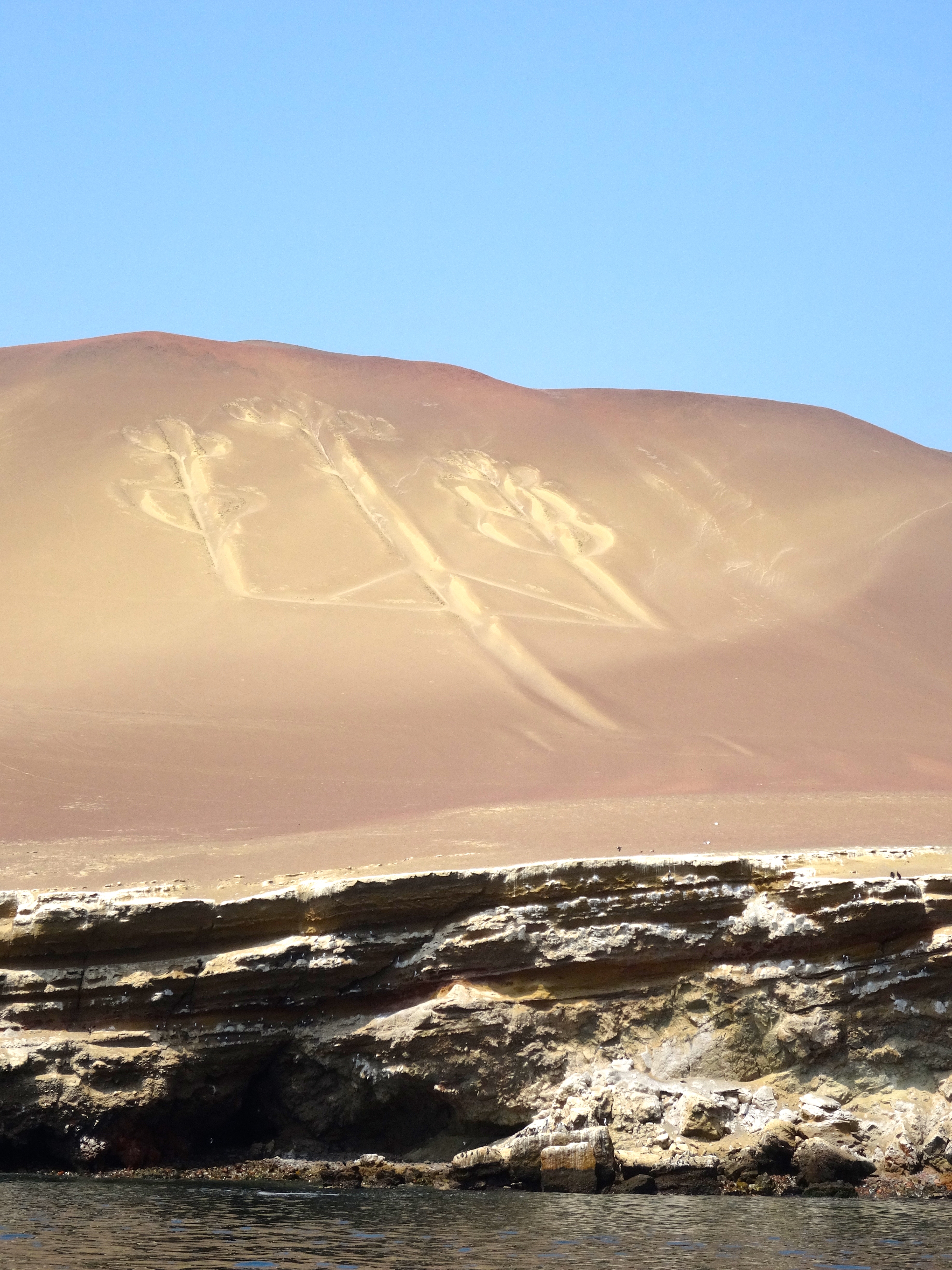
Closer pic taken near the shoreline.
The "Candelabra of the Andes" closer up.
The “Candelabra of the Andes” closer up. Obviously my approach was from the sea.
From a distance of 2 miles.
Another perspective.
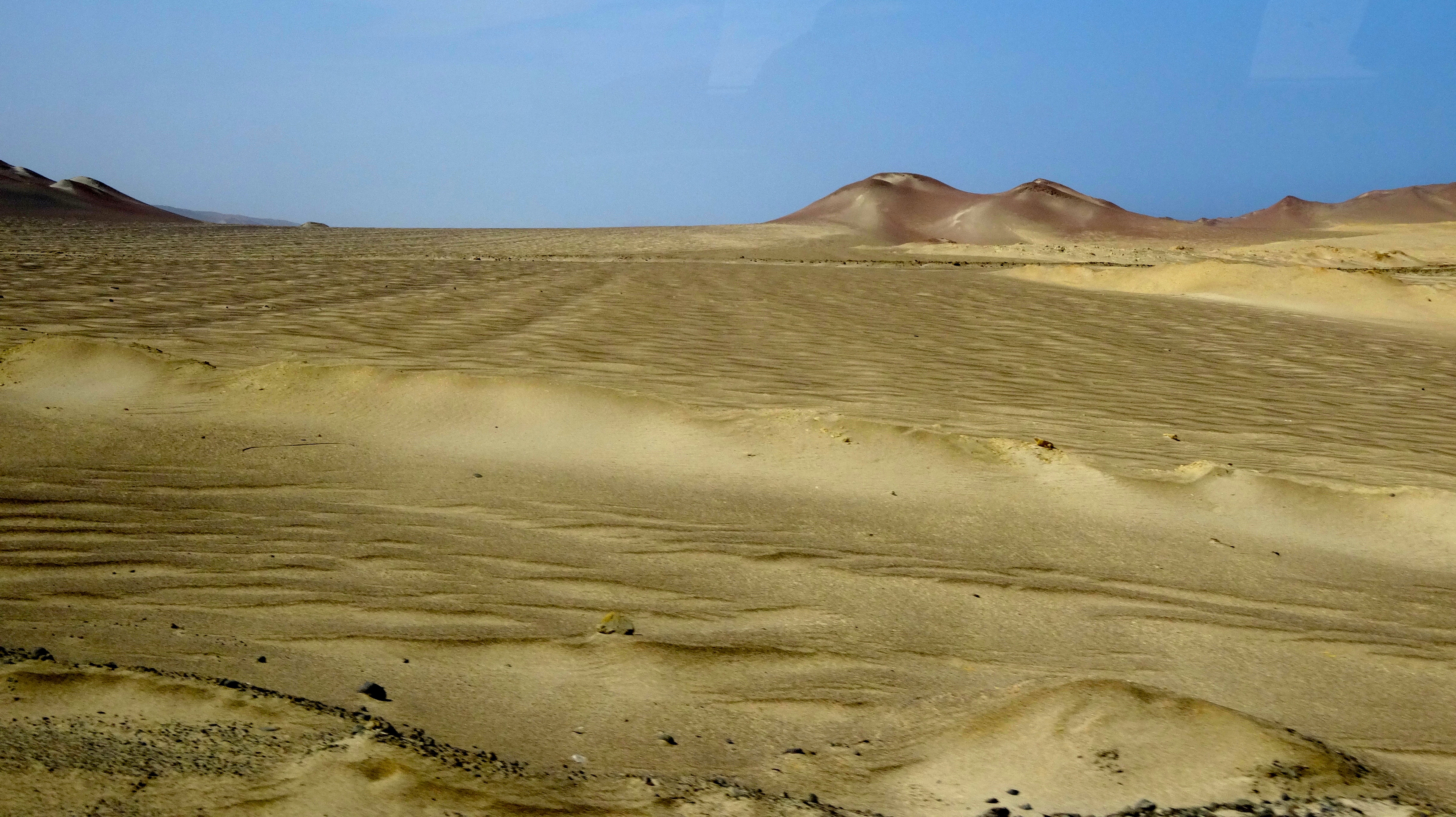
This is the surrounding desert.  Not a living thing (plant, insect, lizard) for many many miles.  This desert is several miles from the Candelabra.
This is the surrounding desert. Not a living thing (plant, insect, lizard) for many many miles. This desert is several miles from the Candelabra. The annual rainfall is less the 1 cm (about 1/2 inch). I get thirsty just looking at this place.

Islas Ballestas, Peru

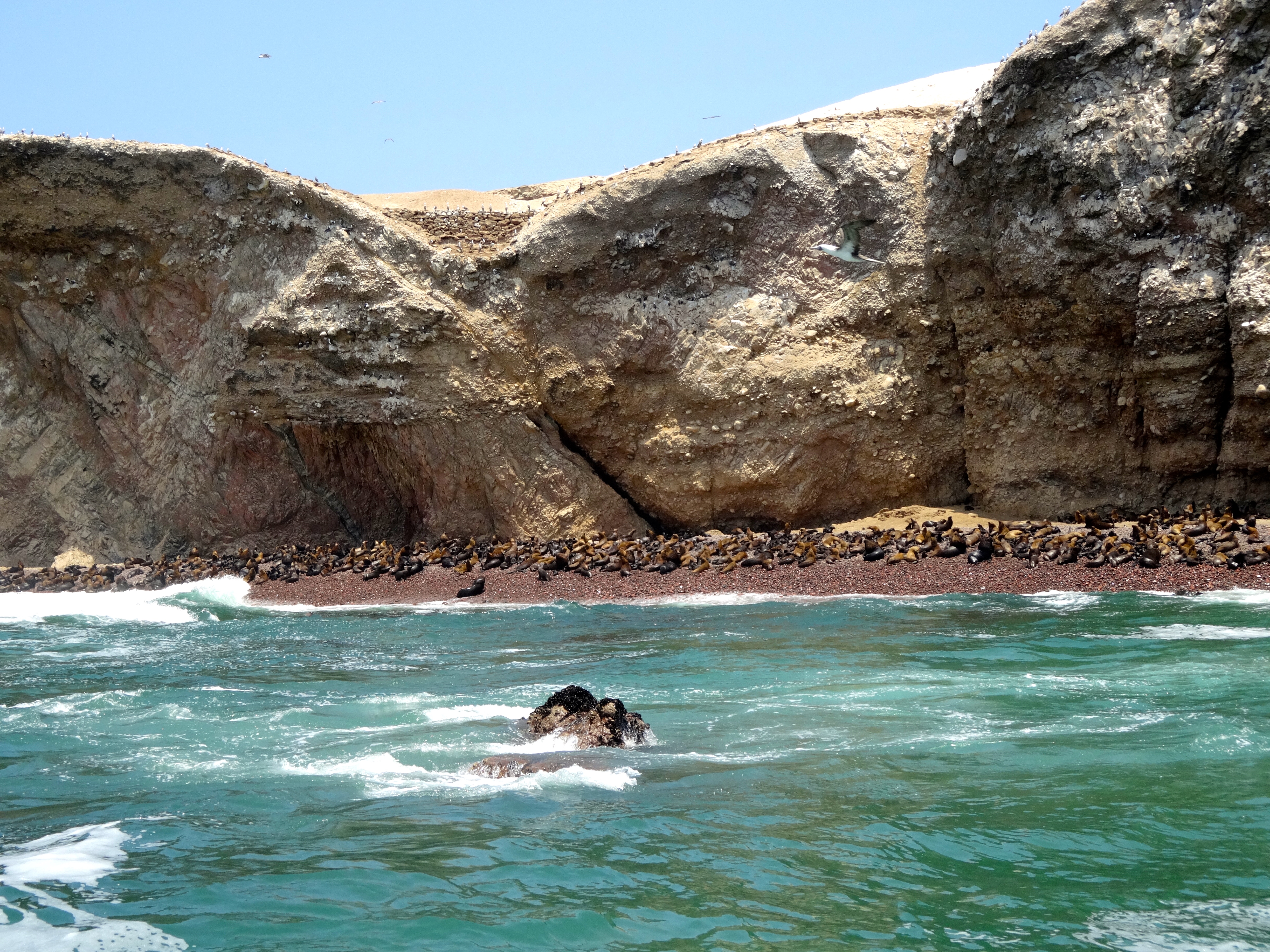
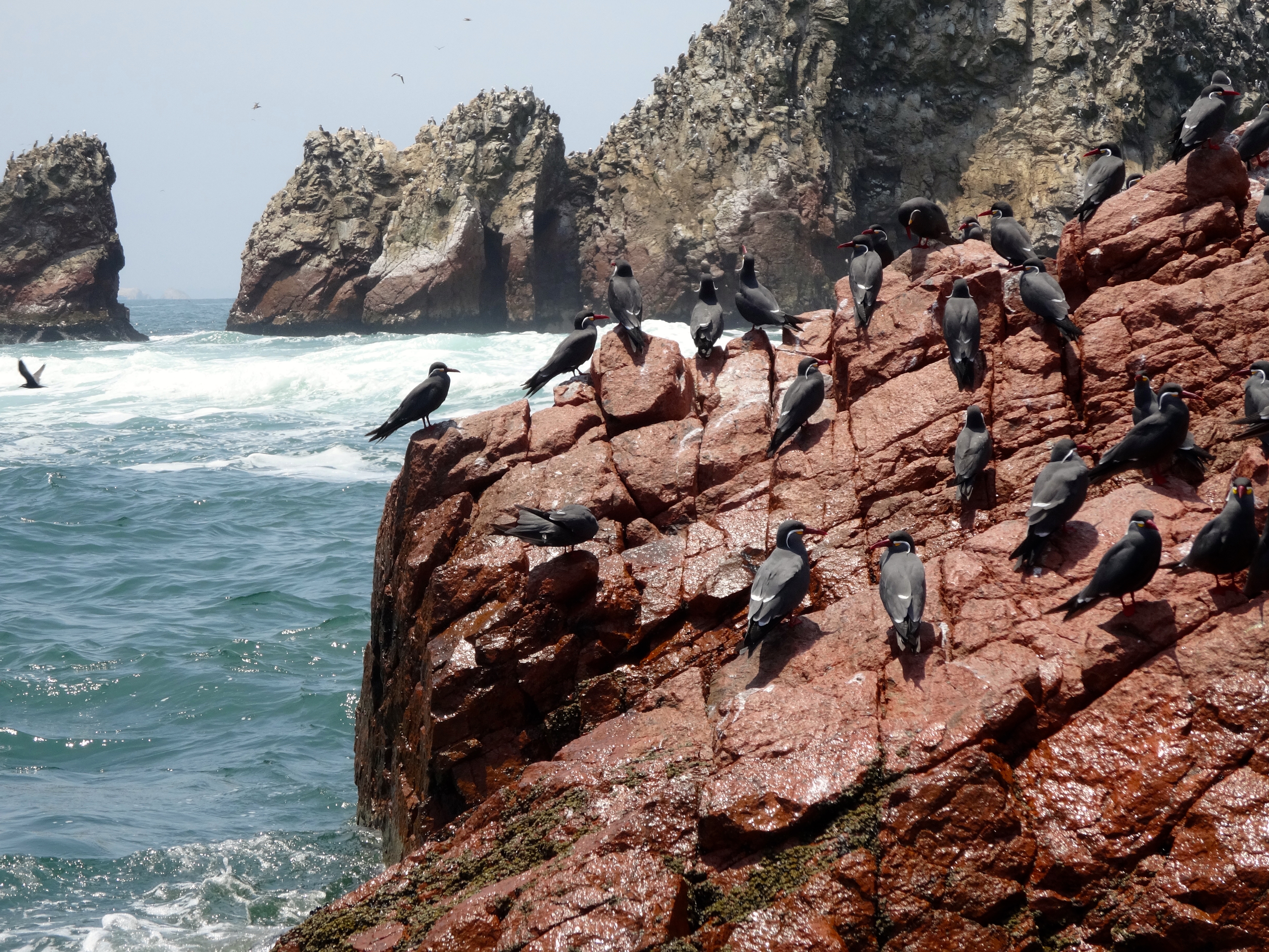
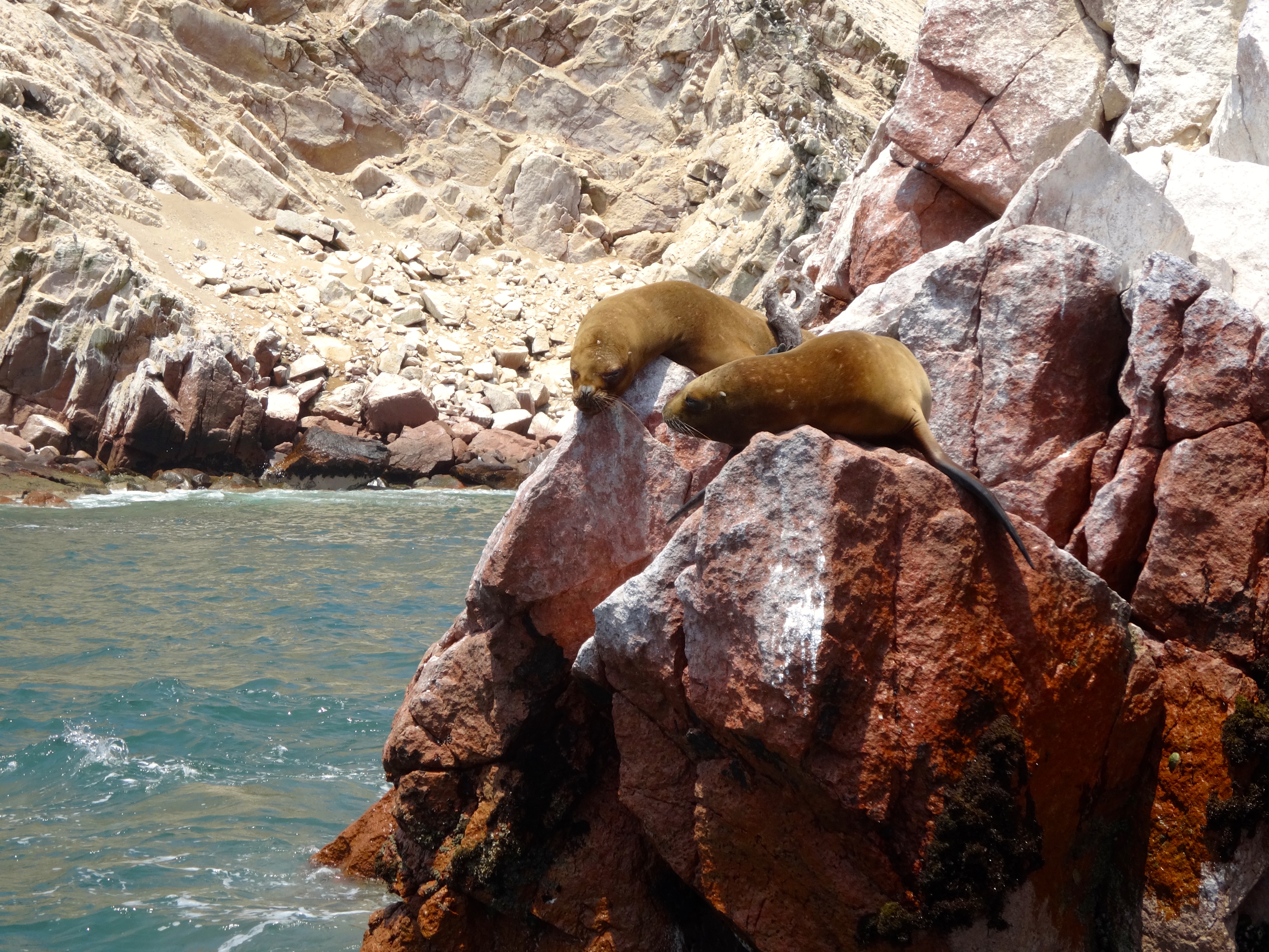
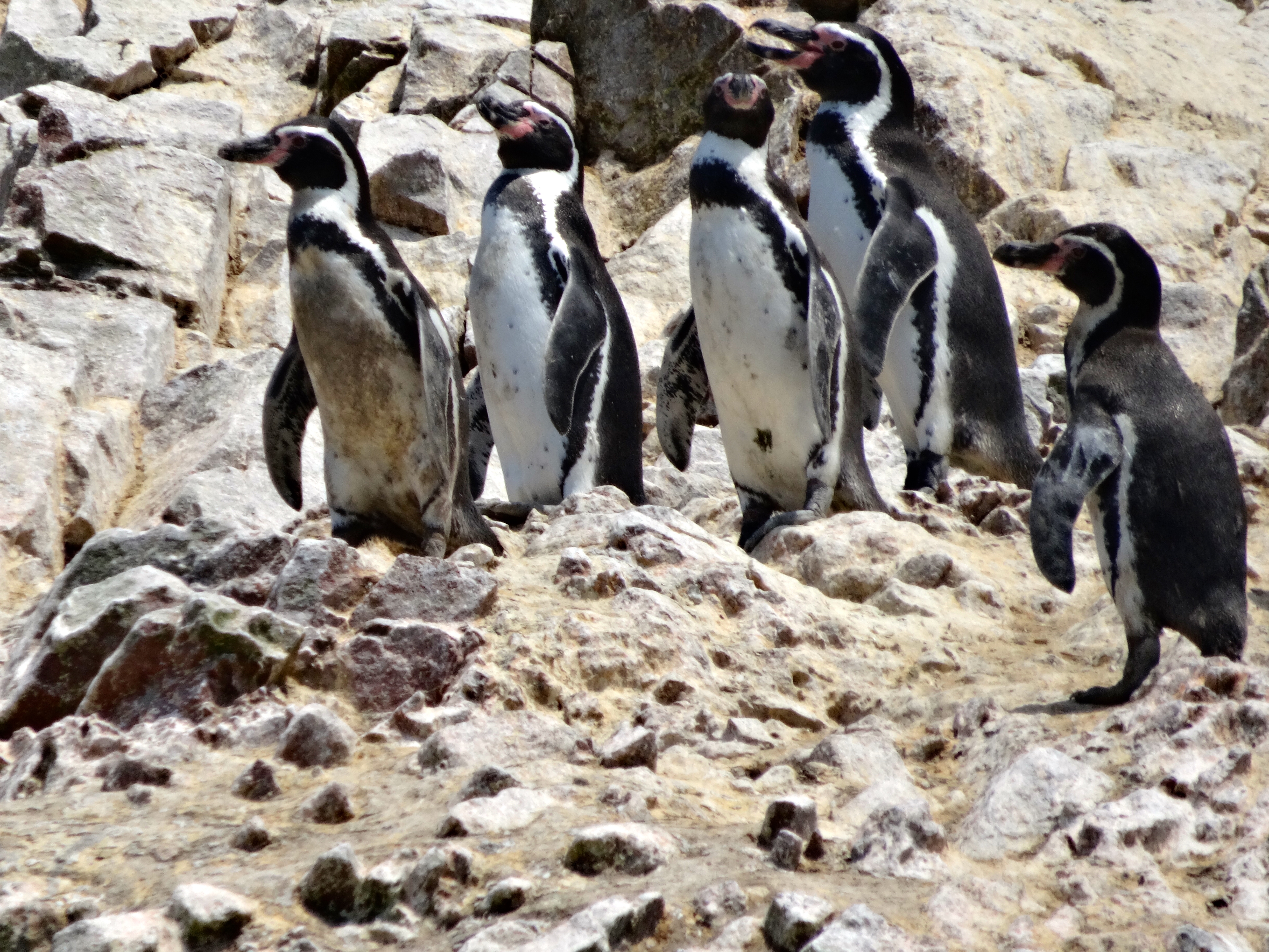
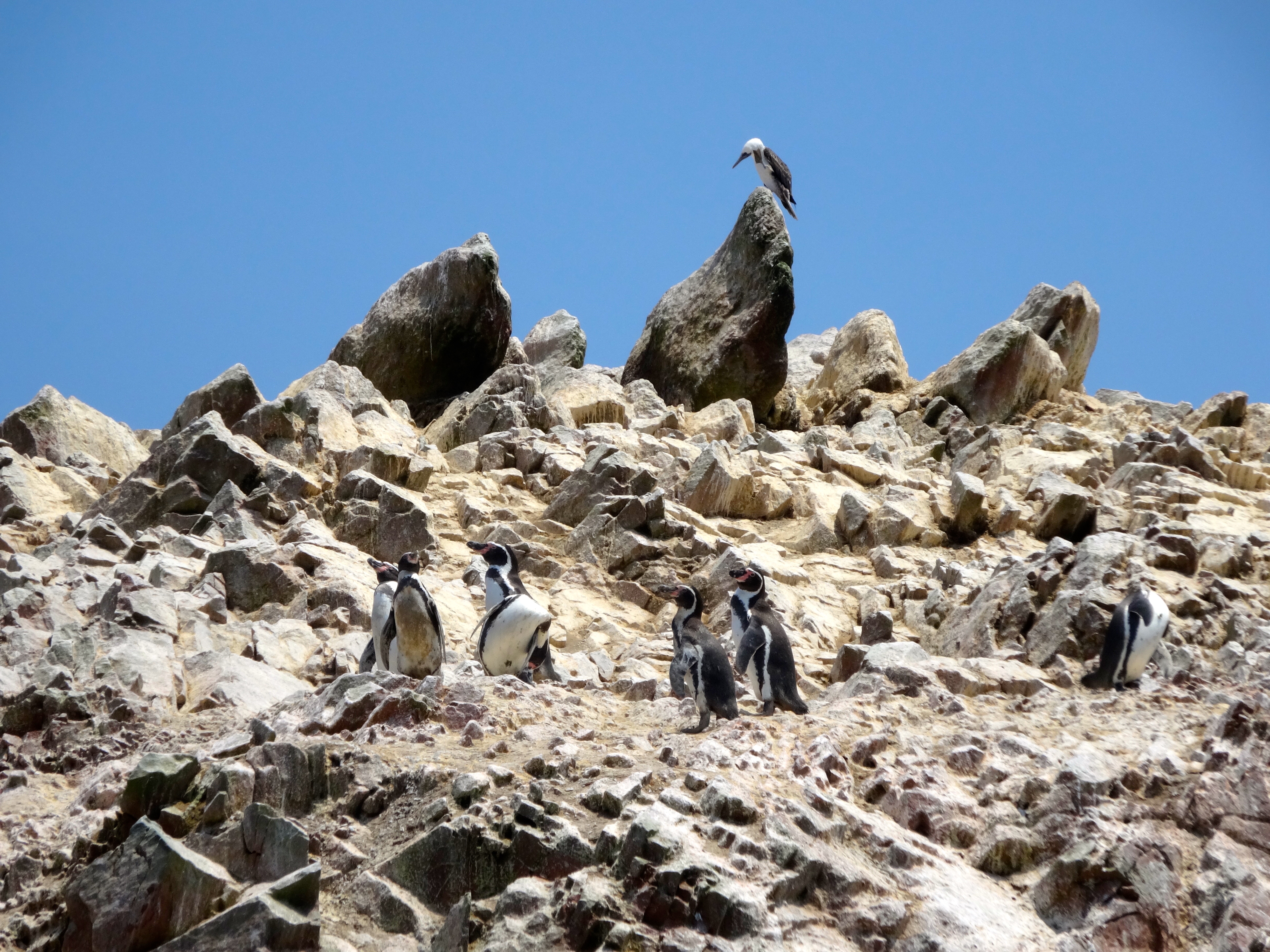
This experience was as though I was in a live National Geographic Magazine. So many varieties of birds. The ones I was lucky enough to see (and in great numbers) included the Peruvian Booby, Red Legged Cormorant, Turkey Vulture, Peruvian Pelican, Guanay Cormorant, and the Humboldt Penguin. I also witnessed an amazing sea lion habitat. There were beaches where the sea lion give birth. There were rocky beaches where the older (male only) sea lions hang, and plenty of young sea lions on the rocks.
This place is the Galapagos Islands of Peru. Totally protected to the point where no humans are permitted to step foot on the island or the surrounding rocks. I took all my pics obviously from my launch.
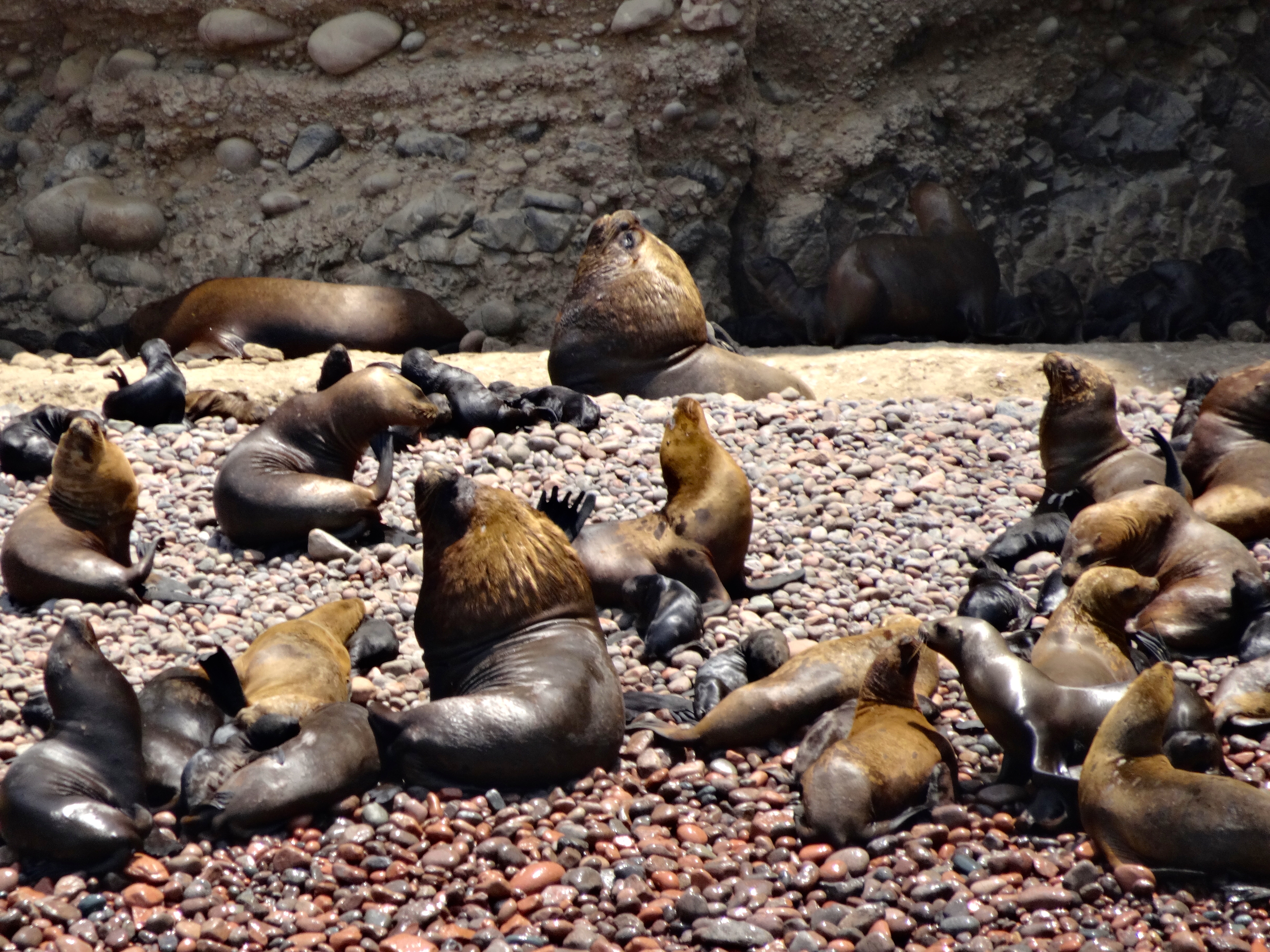
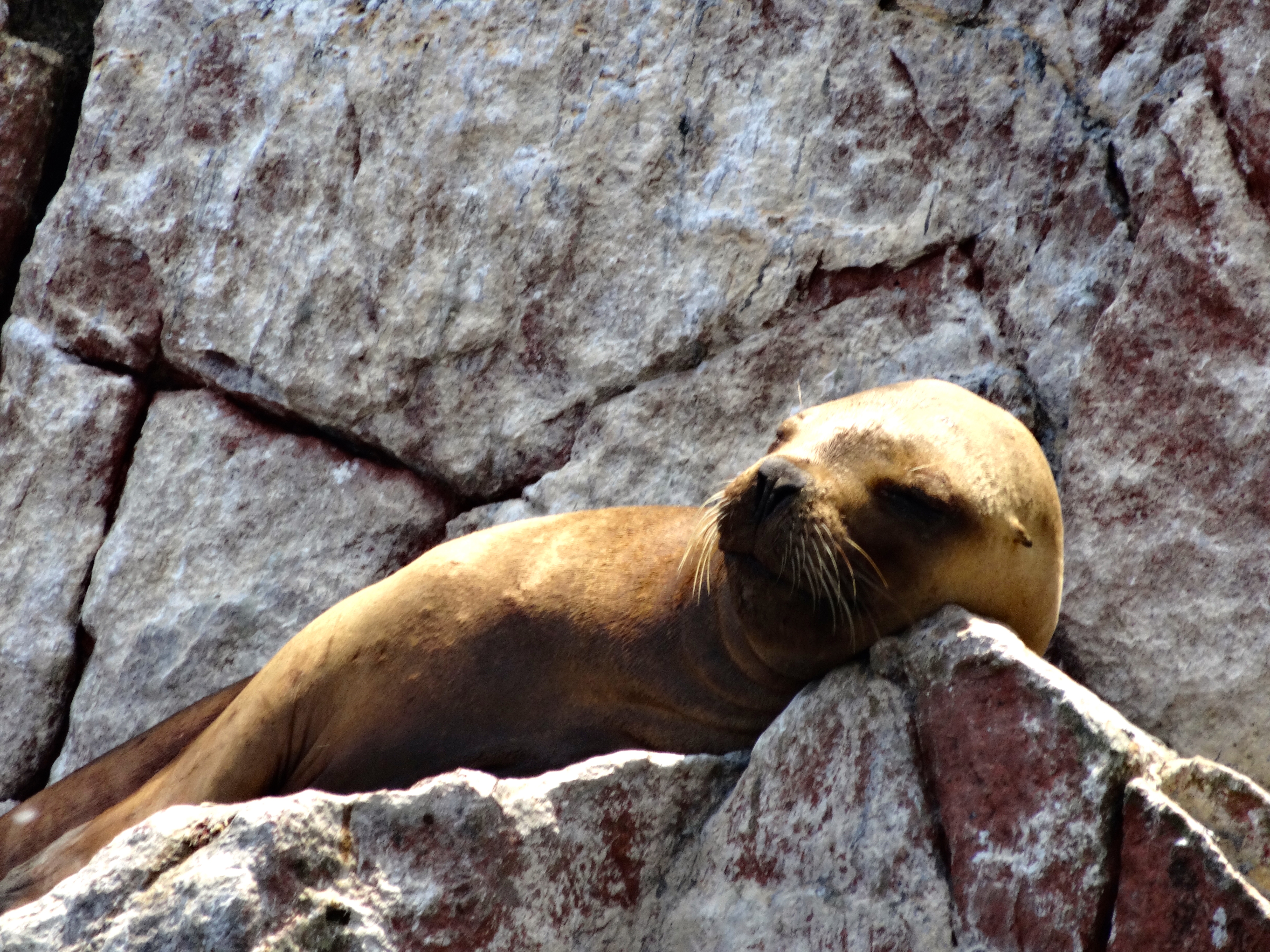
The sea lions were the most fascinating. Here’s some info of which I was unaware.  Their gestation period is 11 months and all sea lions are born from January to March. Since I am here in March I was able to see many babies. (see pics) The female usually gives birth to only one baby per gestation period.  In the rare event that two are born, the mother must kill the weaker one since she can only feed one per birth. So rather than have the one unfed baby suffer she will kill the weaker baby.  I found this fascinating.
All the wildlife here feeds from the sea. There are no Orcas of sharks in these waters. Thus, these sea lions usually die of old age.

DSC05355
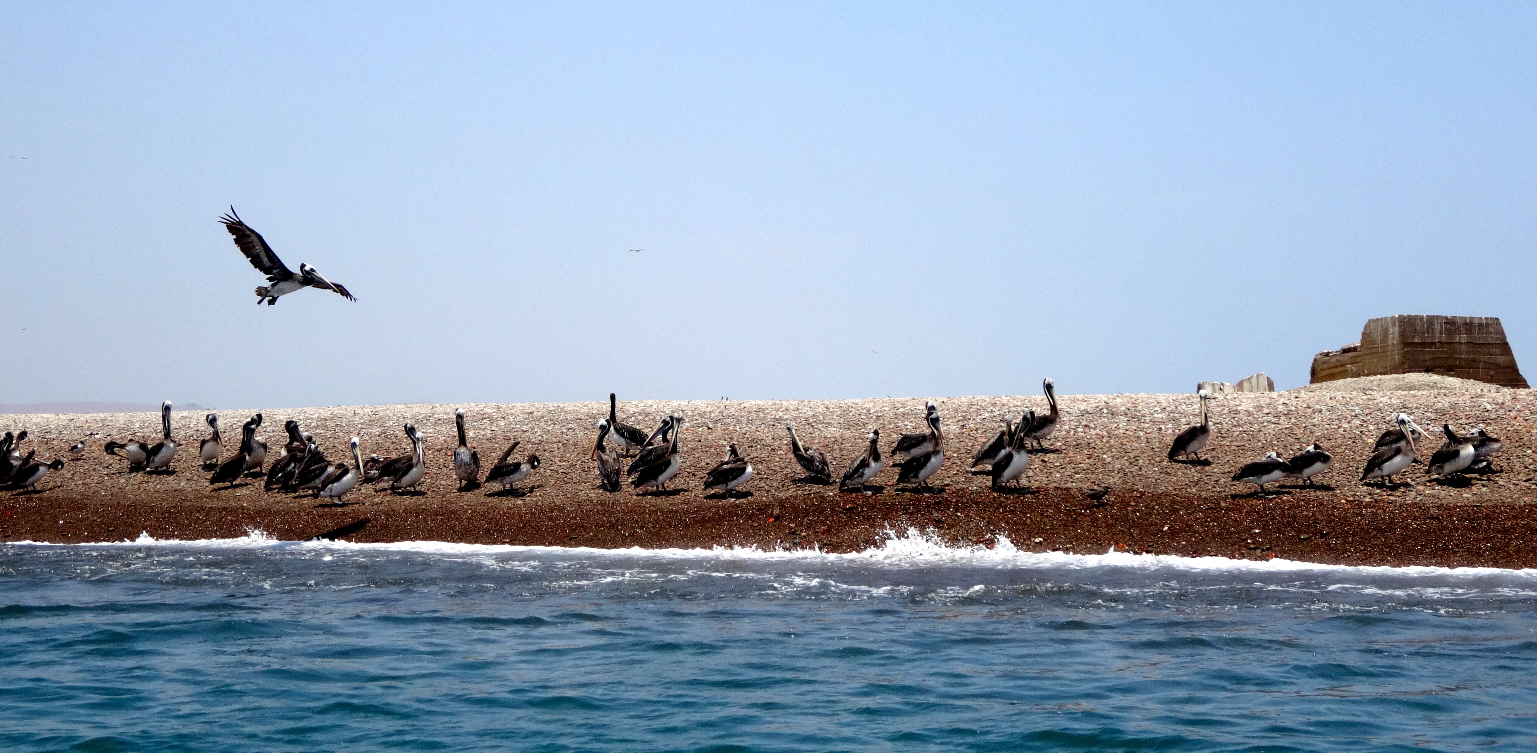
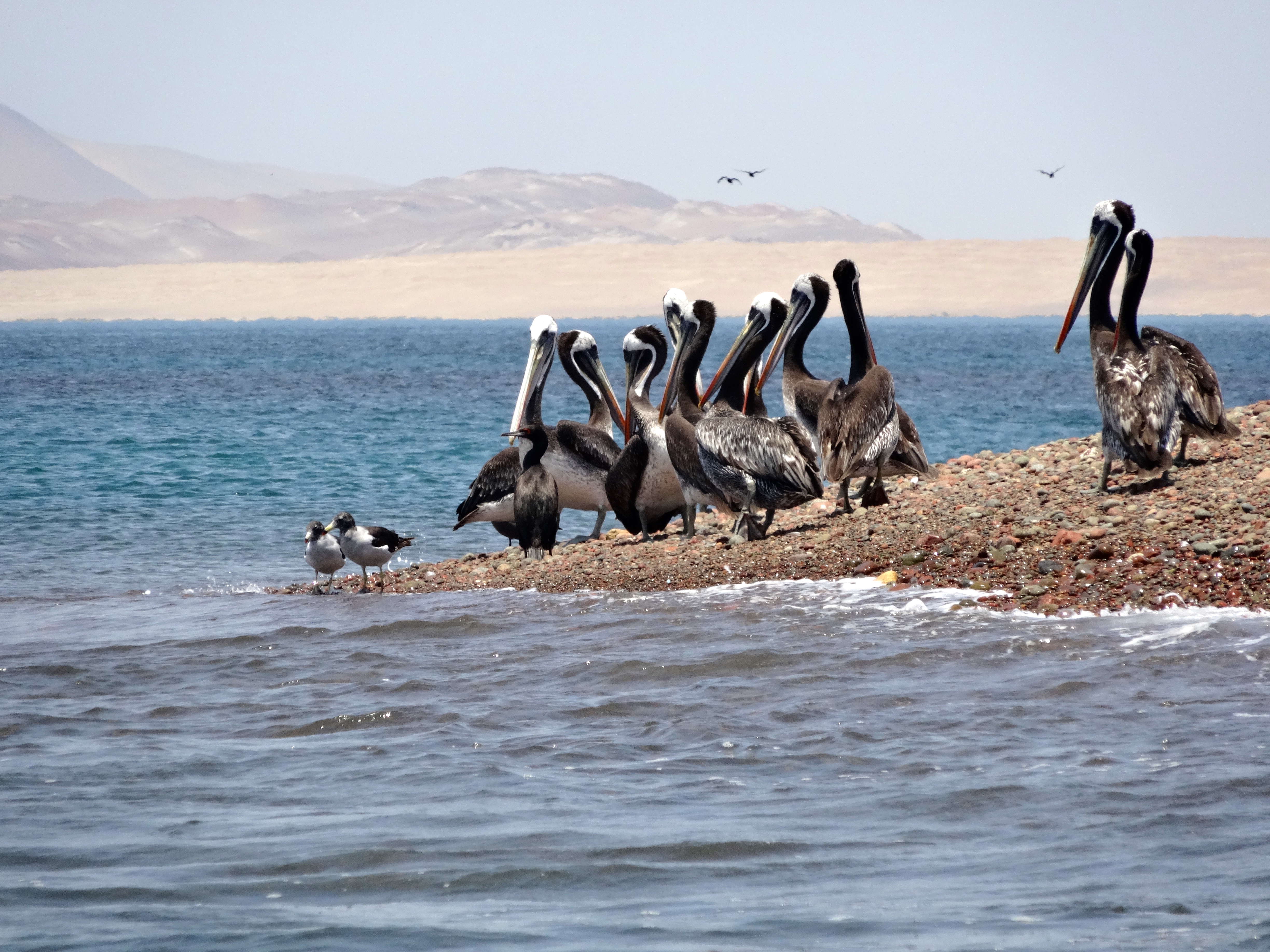
Peruvian Pelicans in their habitat. One is in flight.
DSC05357
Peruvian Pelicans on their rocky shore. Some can weight as much as 40 pounds after a good meal.
DSC05342
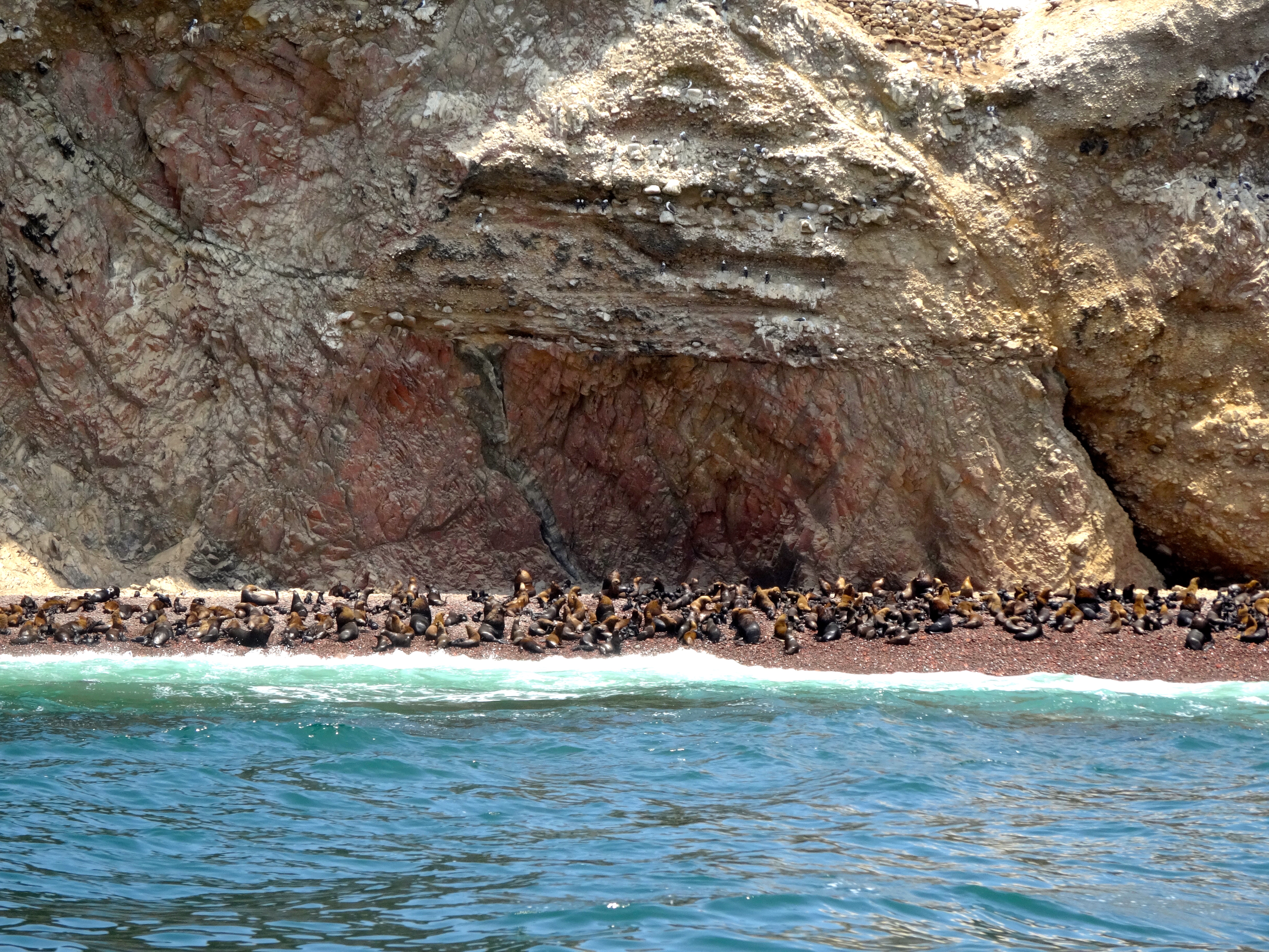
This is the rocky beach where the sea lion calves are born. See the close up for more detail.
DSC05319
Another shot of the “nursery.” I wish I could share all the barking and shouting that was going on here. Really loud.
DSC05329
Close up of some babies. The lighter sea lions are females. The darker larger ones male.
DSC05308
This is a shot of the all male club. They are older and must hang on more level beaches. These males are usually not the ones still mating. Those males can gain up to an additional 500 pounds in advance of the mating season. This is because (like some human populations) the males impregnate 15 or so females. This may explain why these older ones pictured here or so tired.
DSC05317
Here are the Peruvian Boobys. No jokes here as that is way to easy. Ok, so who doesn’t enjoy seeing a bunch of Peruvian Boobys, right?
DSC05299
Two young females.
DSC05276
Close up of a female on the rocks. Sounds like a cocktail.
DSC05250
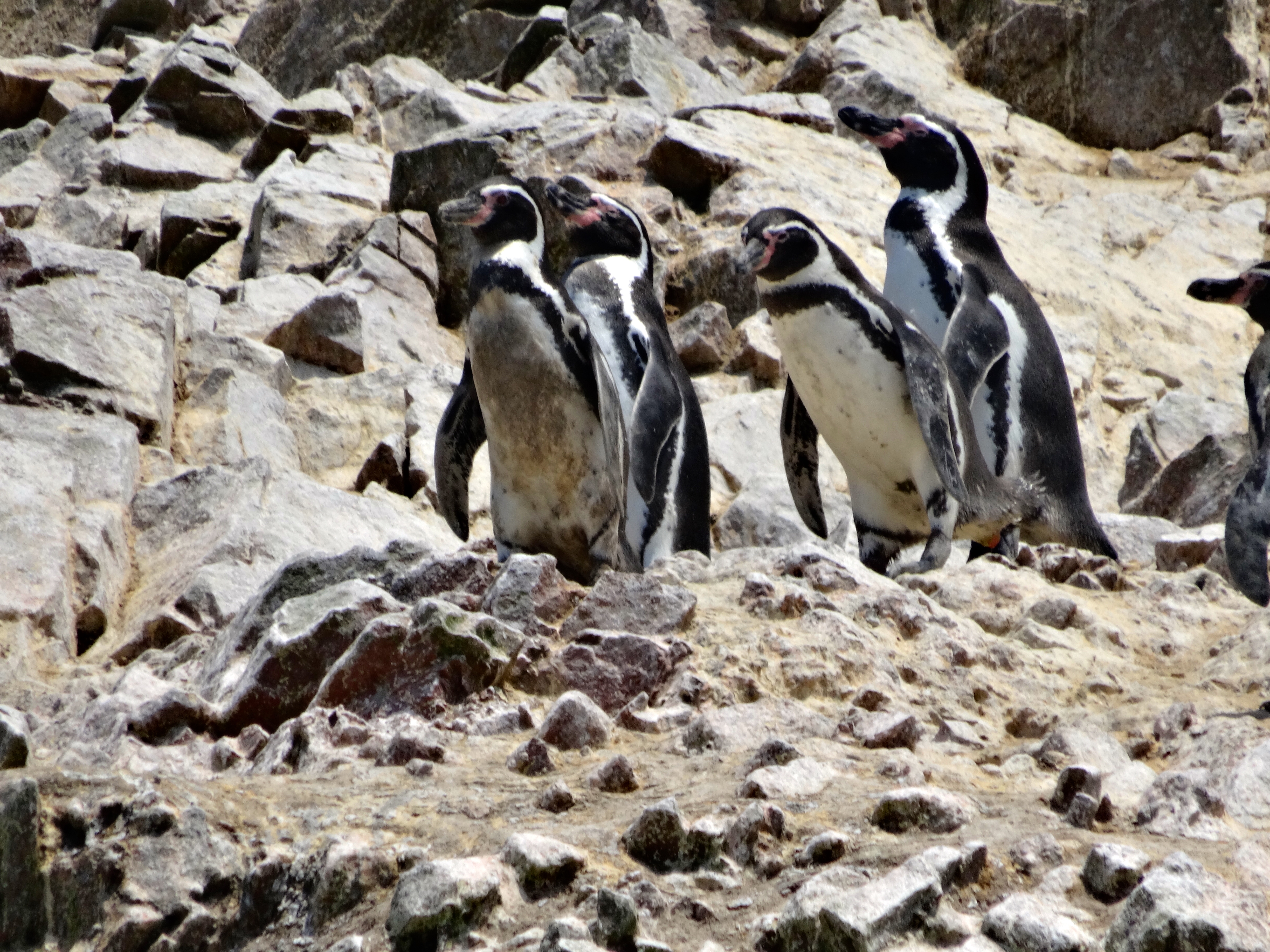
The Peruvian Penguins.
DSC05253
Penguins again, but note the Red Legged Cormorant at top.
DSC05251
Just one more. Can’t help it cause they are so damn cute.


Paracas, Pisco, Peru

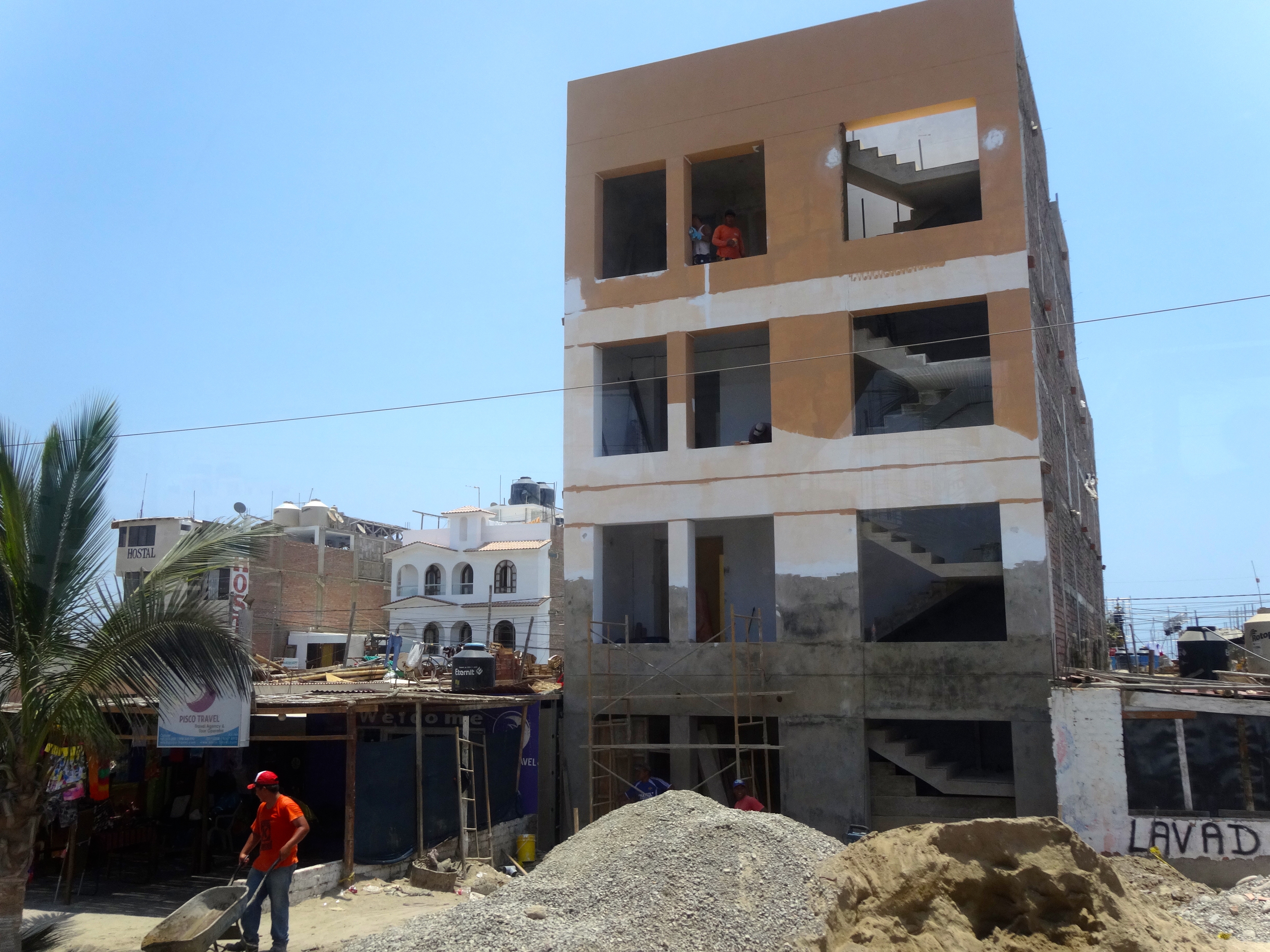
This place was literally crushed by an earthquake in 2007. It destroyed its infrastructure and killed over 600 people. But the spirit here lives on. Pisco is a town on the rebound. It seems to be reinventing itself too; almost as though it has the resilience of some kind of phoenix. In spite of the substantial damage the town remains open. Street venders are almost everywhere. The nearby beach resort is called El Chaco (Paracas). This place, while having several hotels and beaches is more importantly known as the base from which you can motorboat to the Islas Ballestas. Islas Ballestas is an amazing sanctuary for many birds, penguins and sea lions. (See seaparate post and pics)
Pisco shares its name with the national beverage, a brandy like drink made through the region. The area is of historical and archaeological importance as having hosted one of the most highly developed pre-Inca civilizations, the Paracas culture from 700 BC to 400 AD.

Rebuilding after the devastating 2007 earthquake.
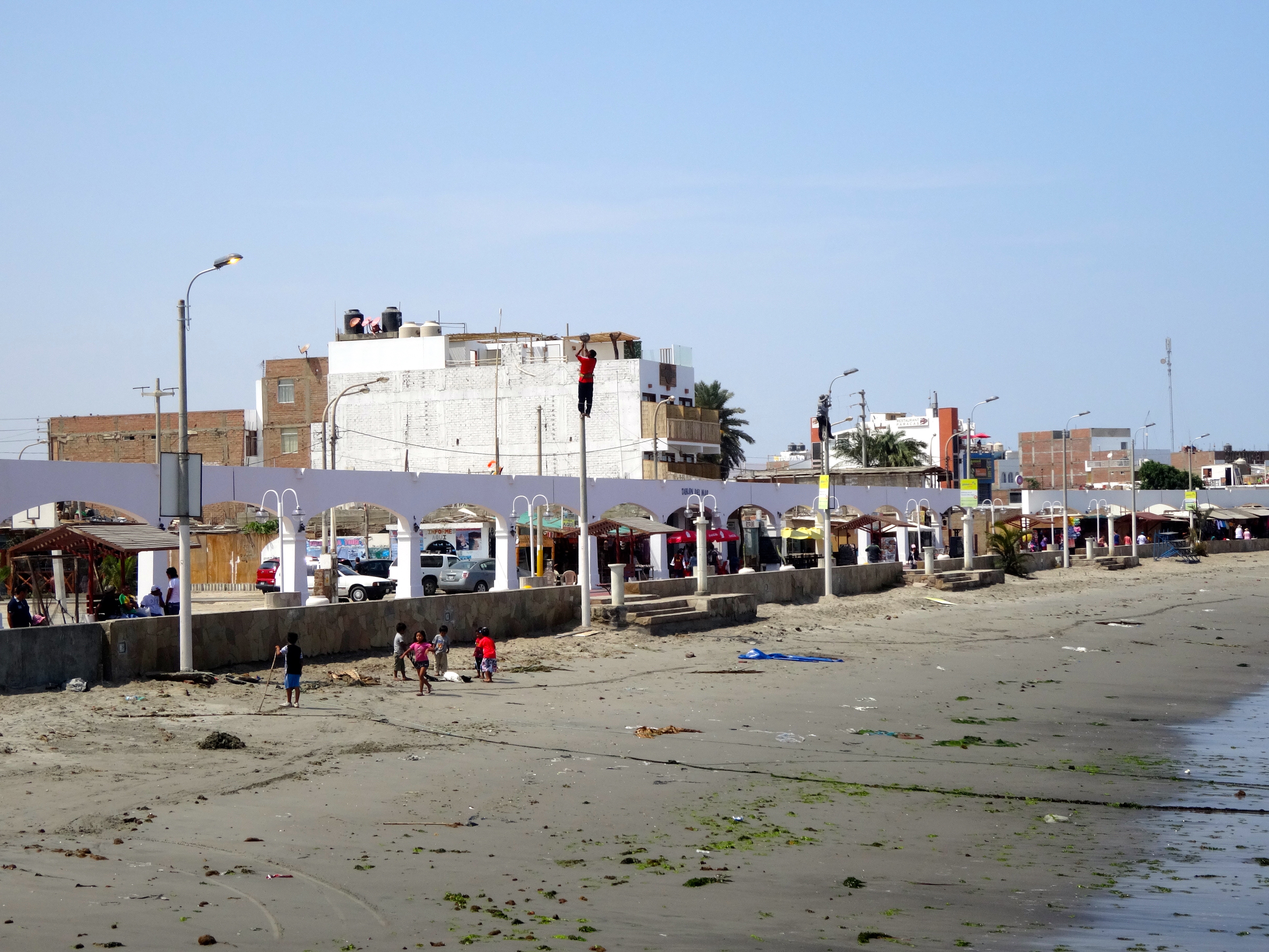
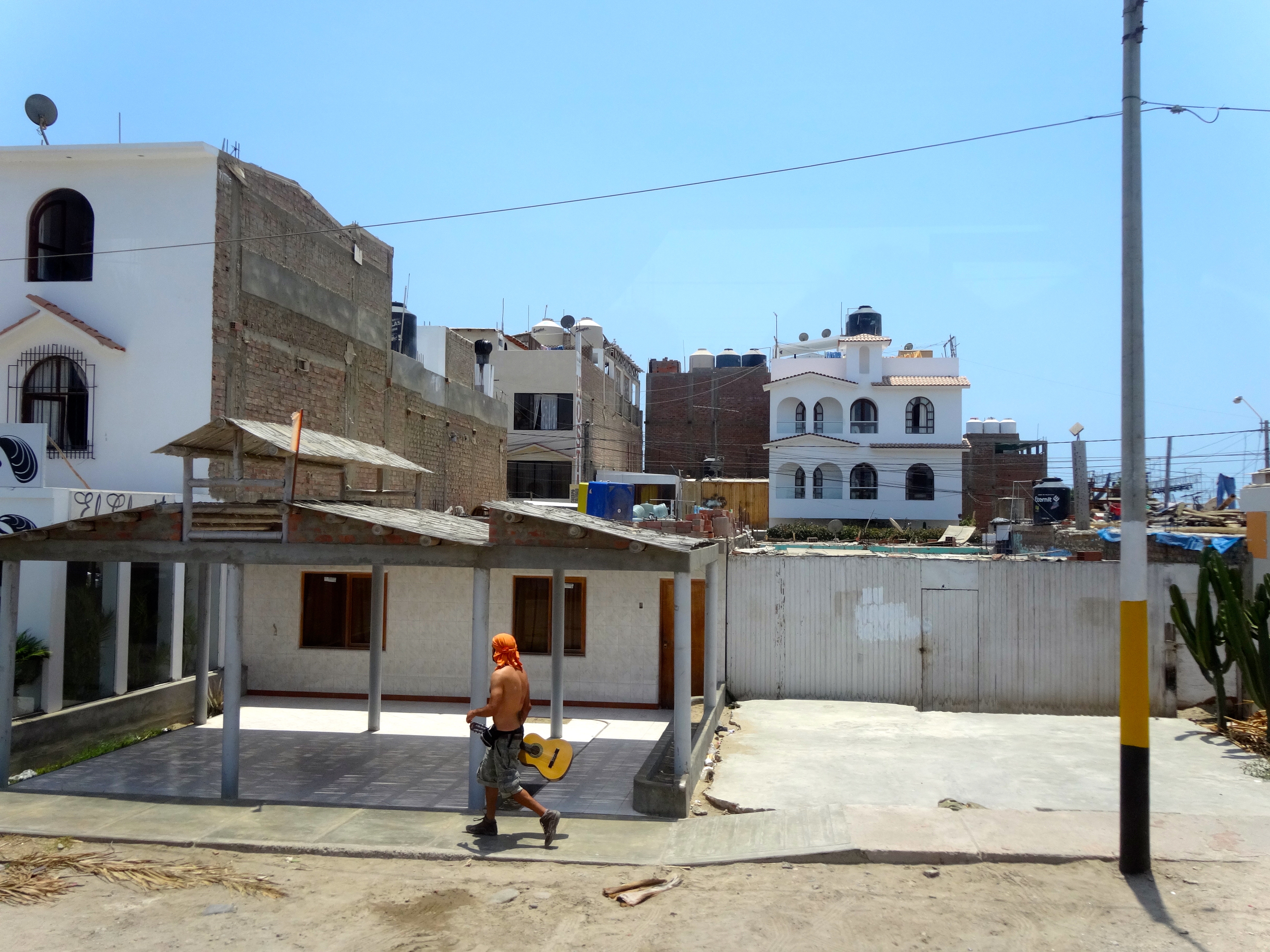
The "Resort" beach scene.  I think they meant as a "last resort."  It is all very relative, isn't it?
The “Resort” beach scene. I think they meant as a “last resort.” It is all very relative, isn’t it?
Another example of rebuilding behind the wall.

Lima, Peru

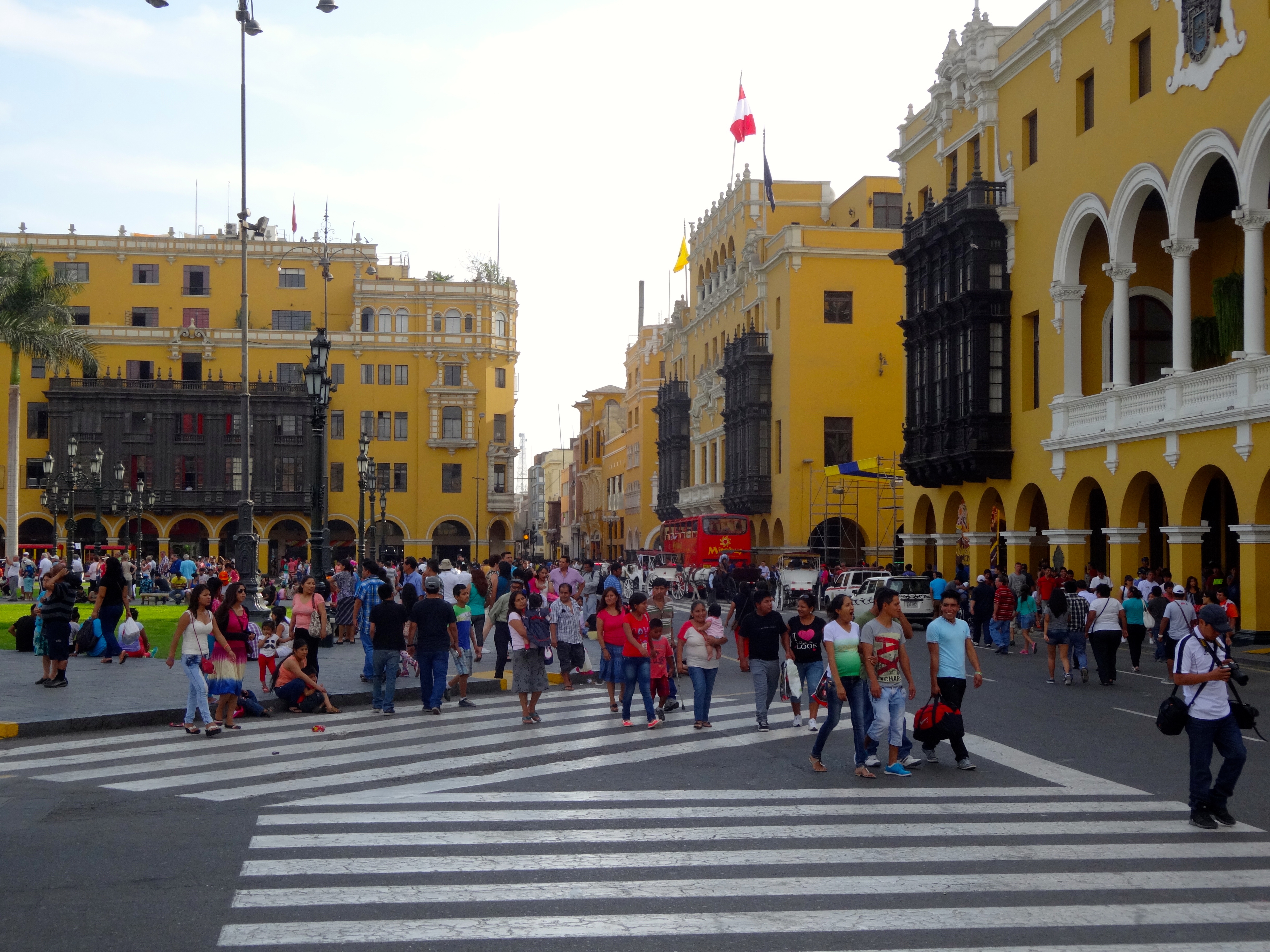
As we approach the port fog shrouds the entire place. It takes a little imagination to get beyond the grit of Lima’s first impression. This place is only second after Cairo as a sprawling metropolis. There are over 10 million people living here. The area has, like most cities of this size, areas that are desirable to visit and many that are not. This is Lima.  Shrouded in history, gloriously messy and full of aesthetic delights.  Lima is the capital city of Peru.  Interesting enough however is the fact that there is very little litter present anywhere, however lots of graffiti may be seen all around.
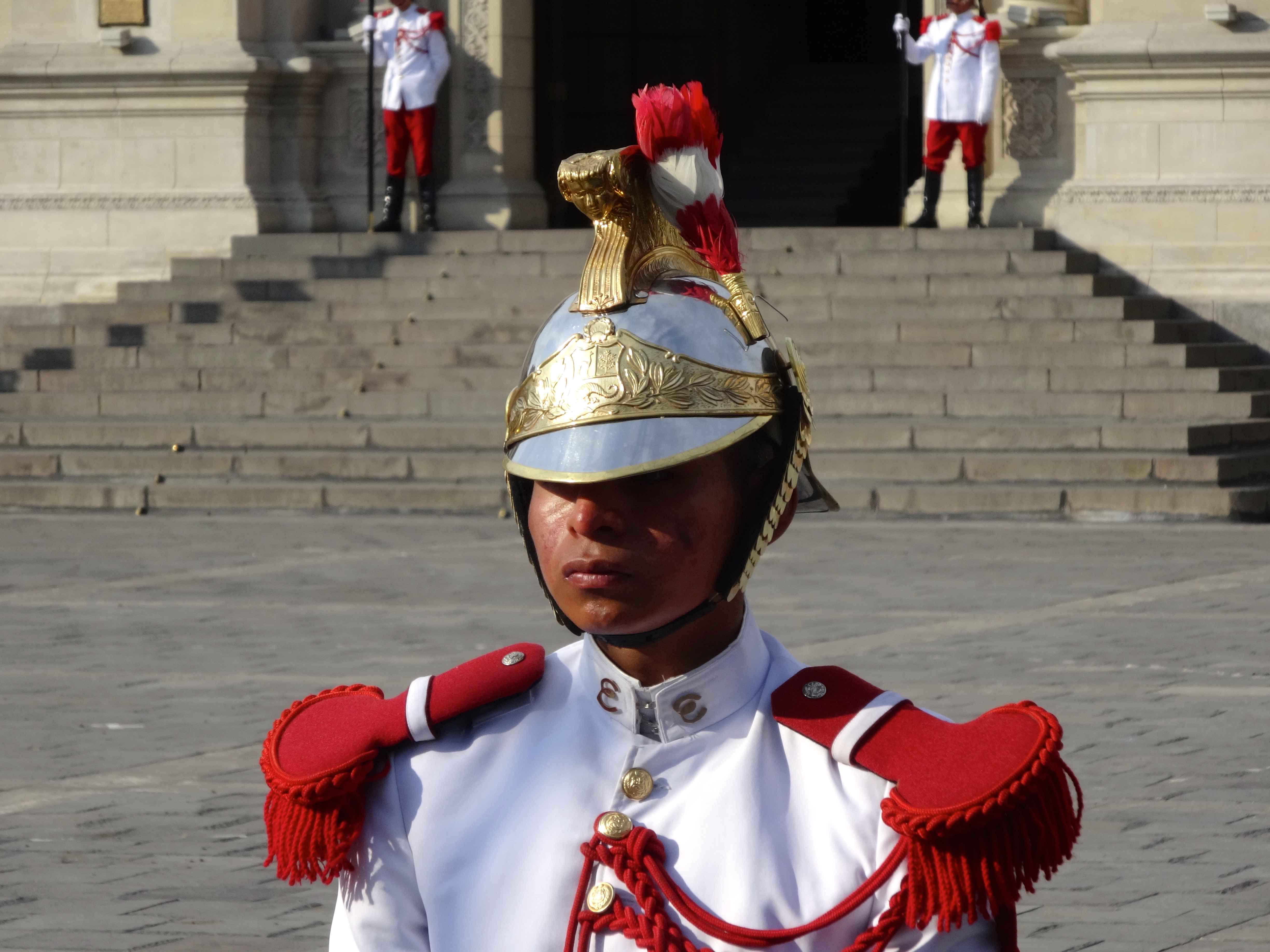
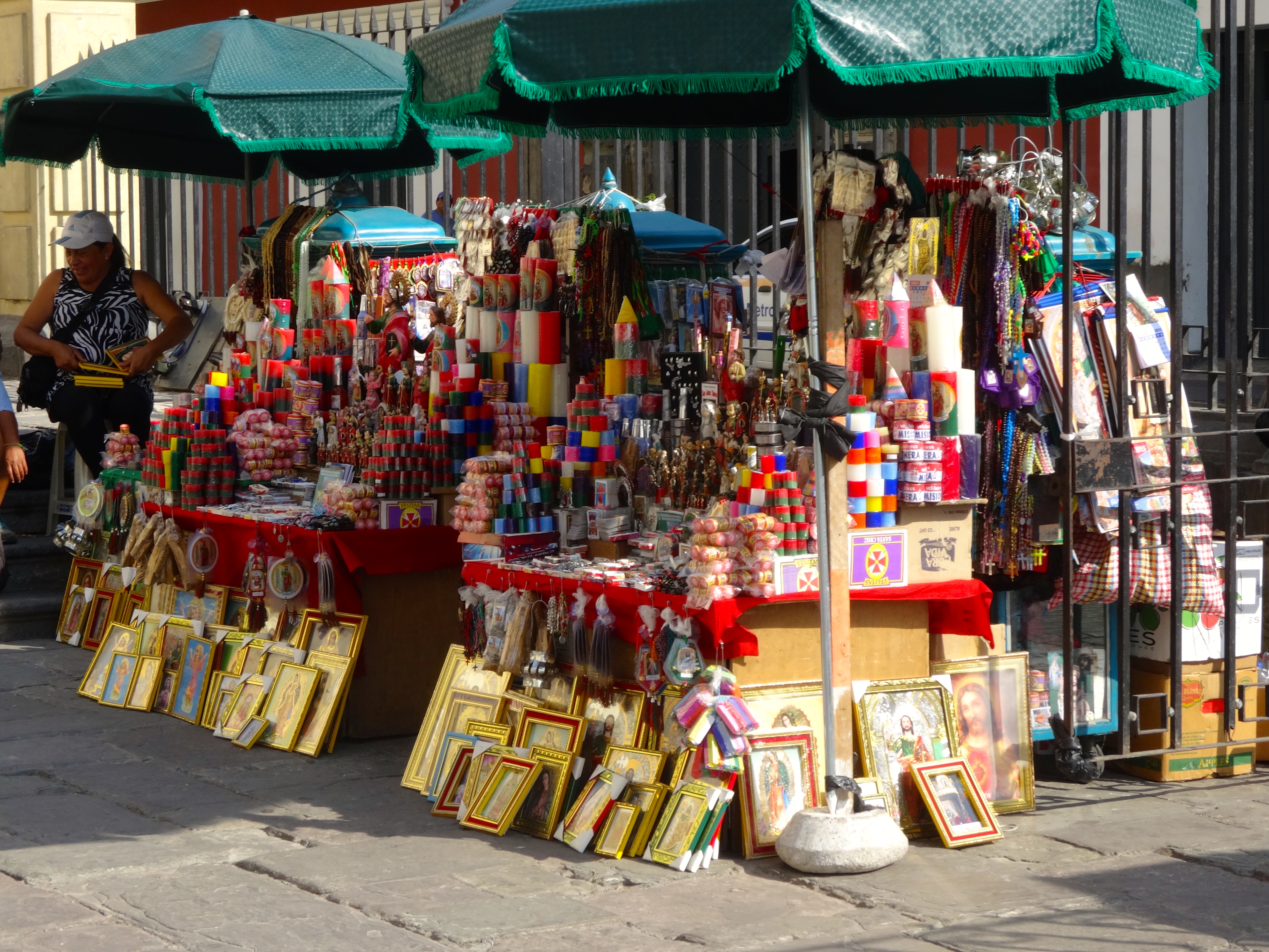
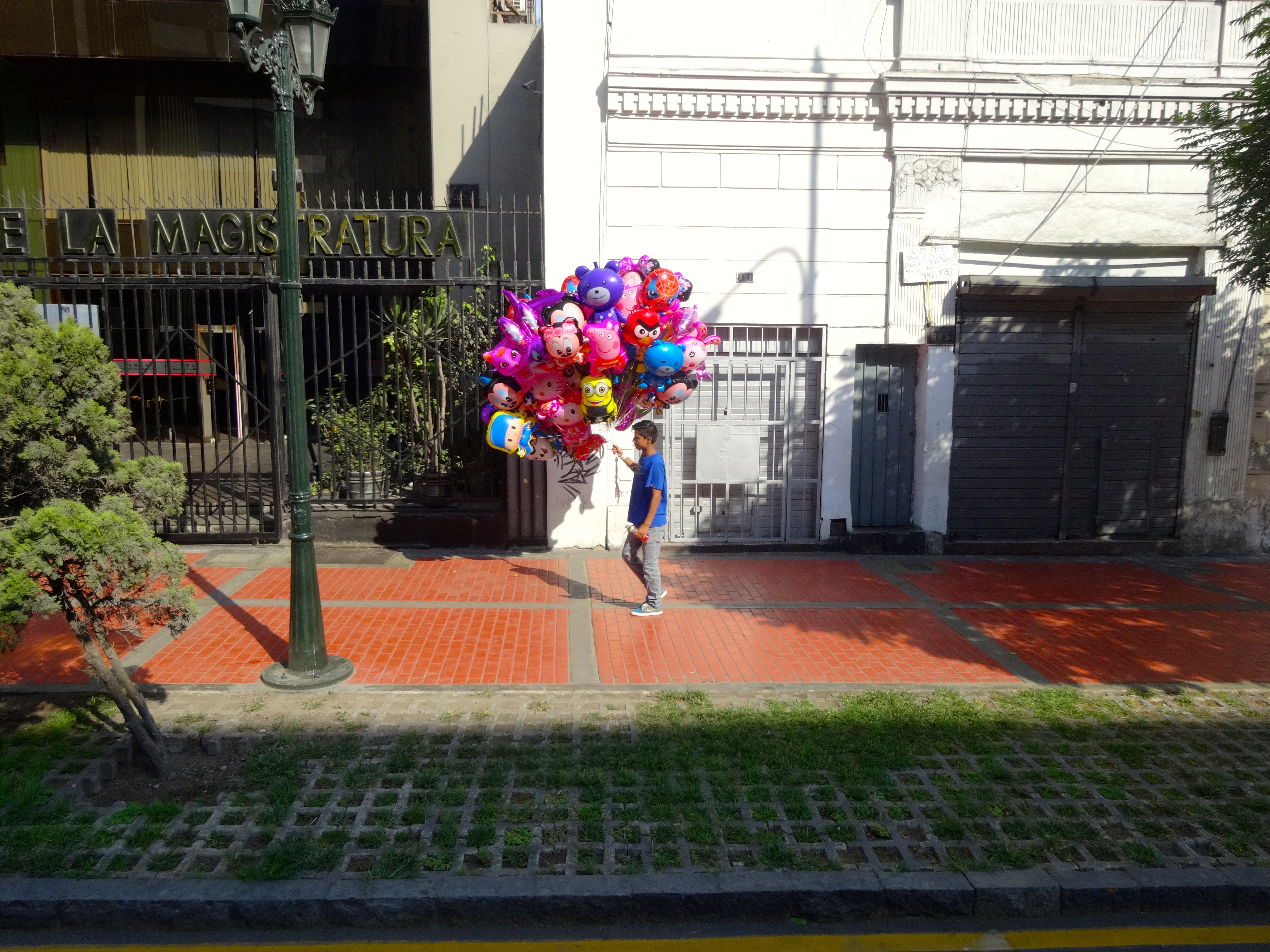
Street venders are ubiquitous; hocking everything from religious stuff to candy to clothes to balloons.  Peruvian people have unmistakable features. Check out the pic of the guard. The people seem friendly even in the rough areas of town.
The food here is awesome. This place has over 3,000 varieties of potatoes, as well as many varieties of fruits and vegetables.  The Amazon is also a source for spices and other esoteric fruits and vegetables.  The fish and ocean sourced items are plentiful. They also boast a substantial cattle industry. The land is very fertile.  So as you can see the sources of food are as varied as they are plentiful. The ceviche with slivers of fiery chili and corn is amazing. Sushi as all around. No surprise that the famous Chef Nobu is from Peru.  The spaniards came here in the 1500s.  But before that Peru’s civilization dates back millennia.  The Incas had a thriving civilization here for thousands of years, prior to the Spanish conquest.

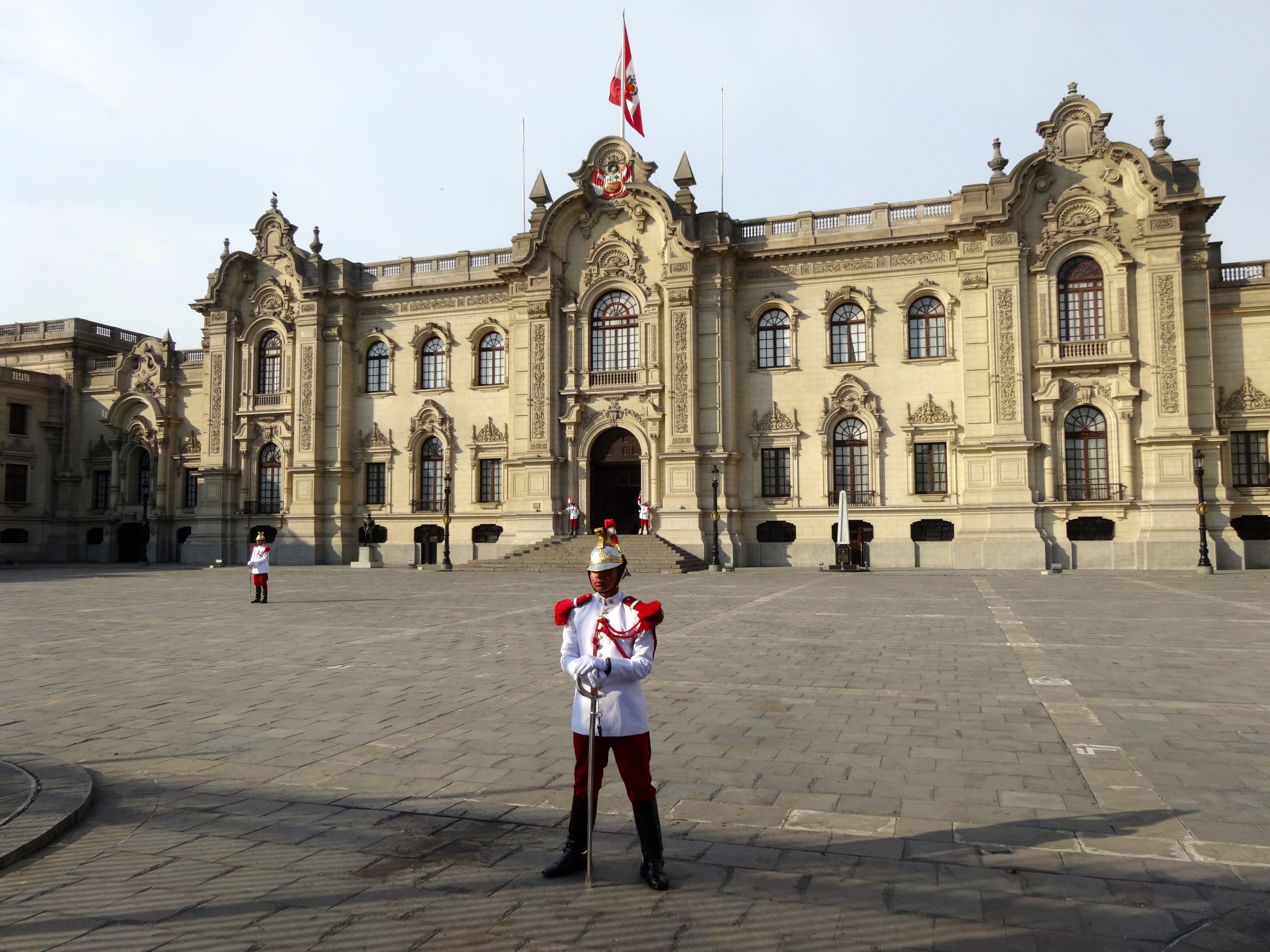
Guard outside parliament building.
Famous sculpture "The Lovers" inspired by Antoni Guadi located in Miraflores, Peru at El Parque del amor.  Take note of all the lovers on the grass.
Famous sculpture “The Lovers” inspired by Antoni Guadi located in Miraflores, Peru at El Parque del amor. Take note of all the lovers on the grass.
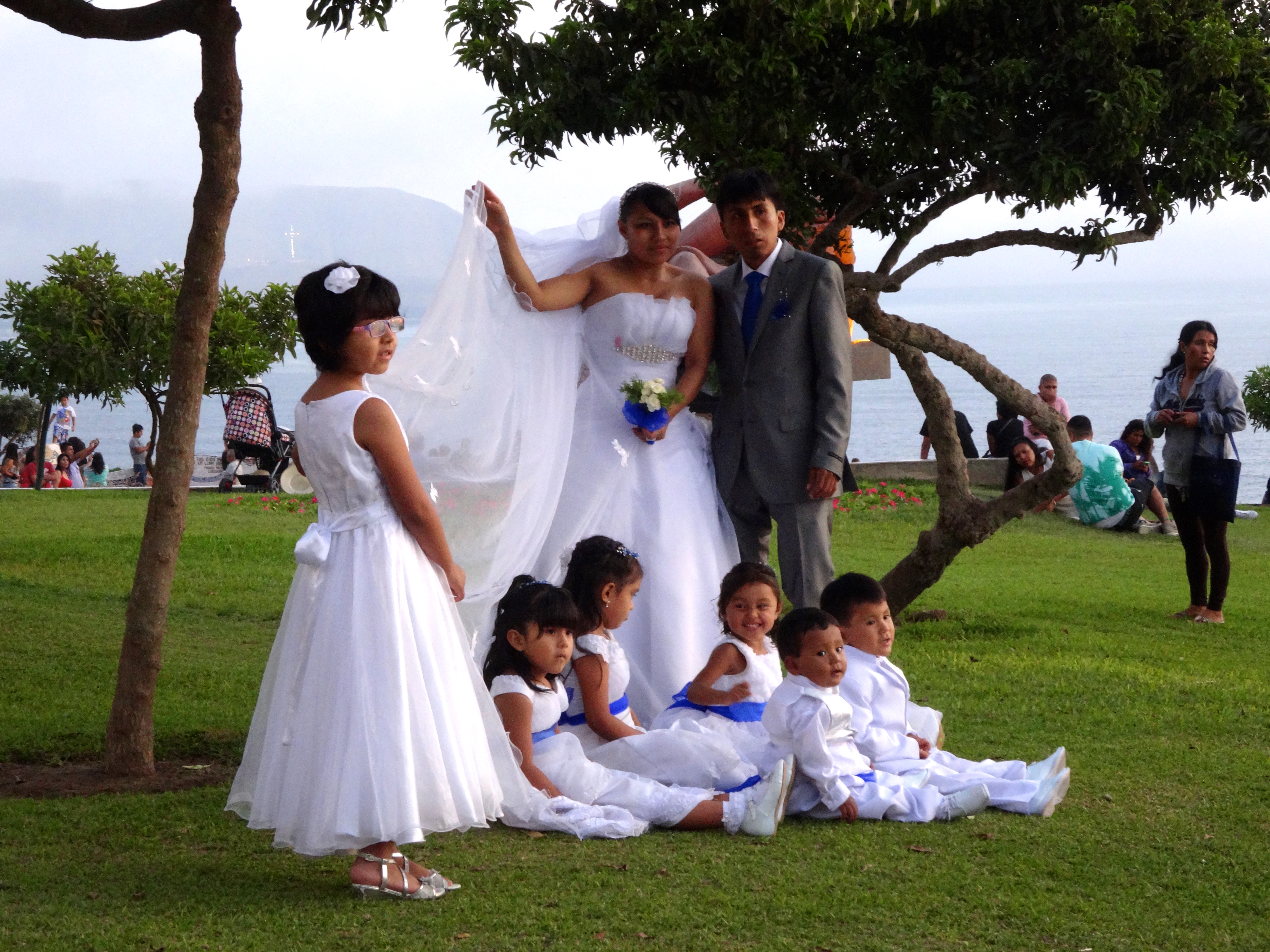
A Peruvian wedding at El Parque del amor.  I wanted to buy one of those cute Peruvian kids.
A Peruvian wedding at El Parque del amor. I wanted to buy one of those cute Peruvian kids.
Look at the Peruvian facial features on this dude.
Typical street scene in Lima.
Street vender hocking Jesus related items.  Does Jesus' estate receive any royalties?
Street vender hocking Jesus related items. Does Jesus’ estate receive any royalties?
Street balloons for sale.


Easter Island, Chile

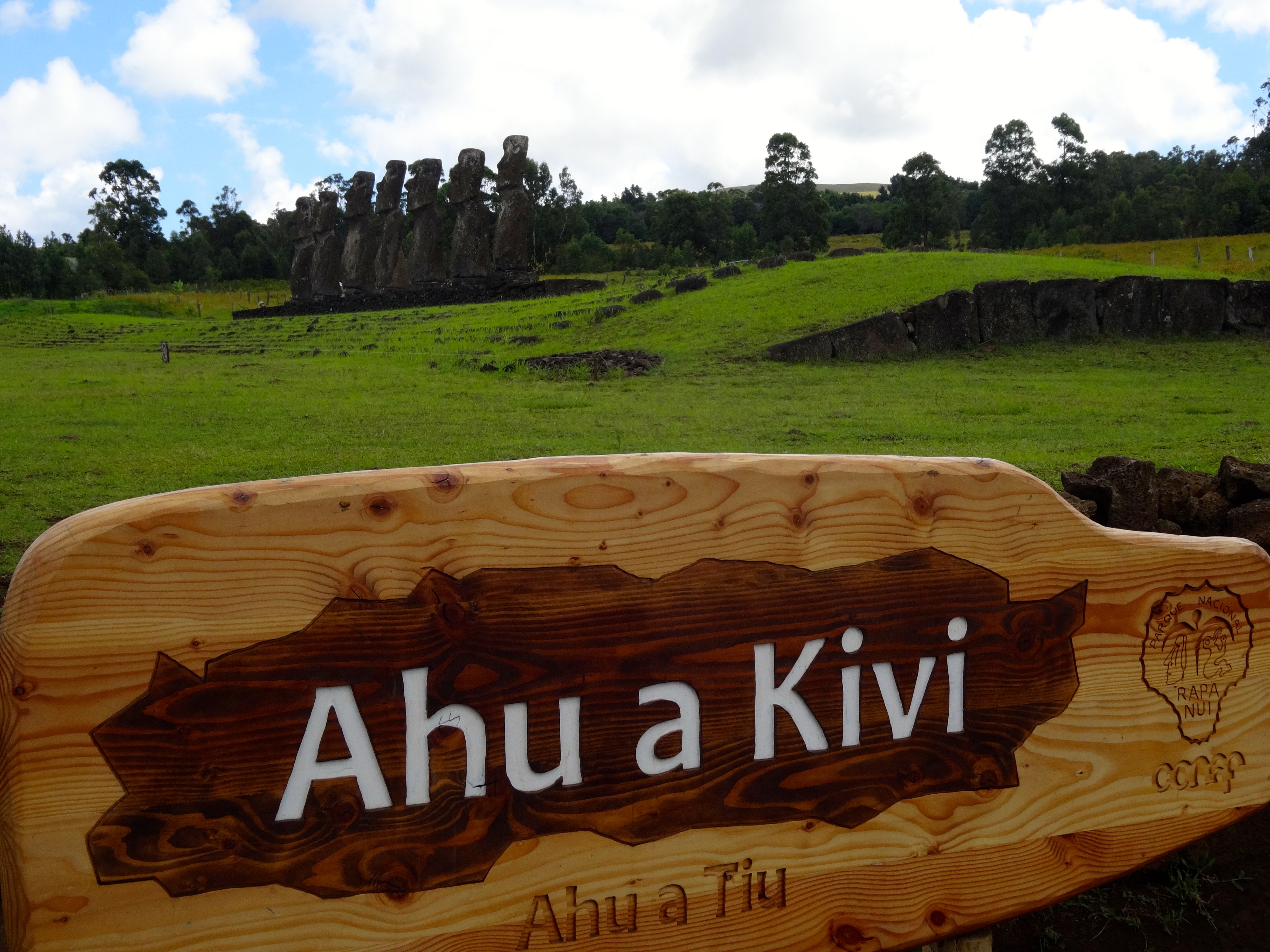
Also known as Papa Nui, this is quite a mystical island. This place is as distinct as any place on earth; it is as if the island appeared from somewhere out of this world. Easter Island is located approximately 2,000 miles from the western coast of Chile. It is quite hard to reach. This isolation is why the mo’ai
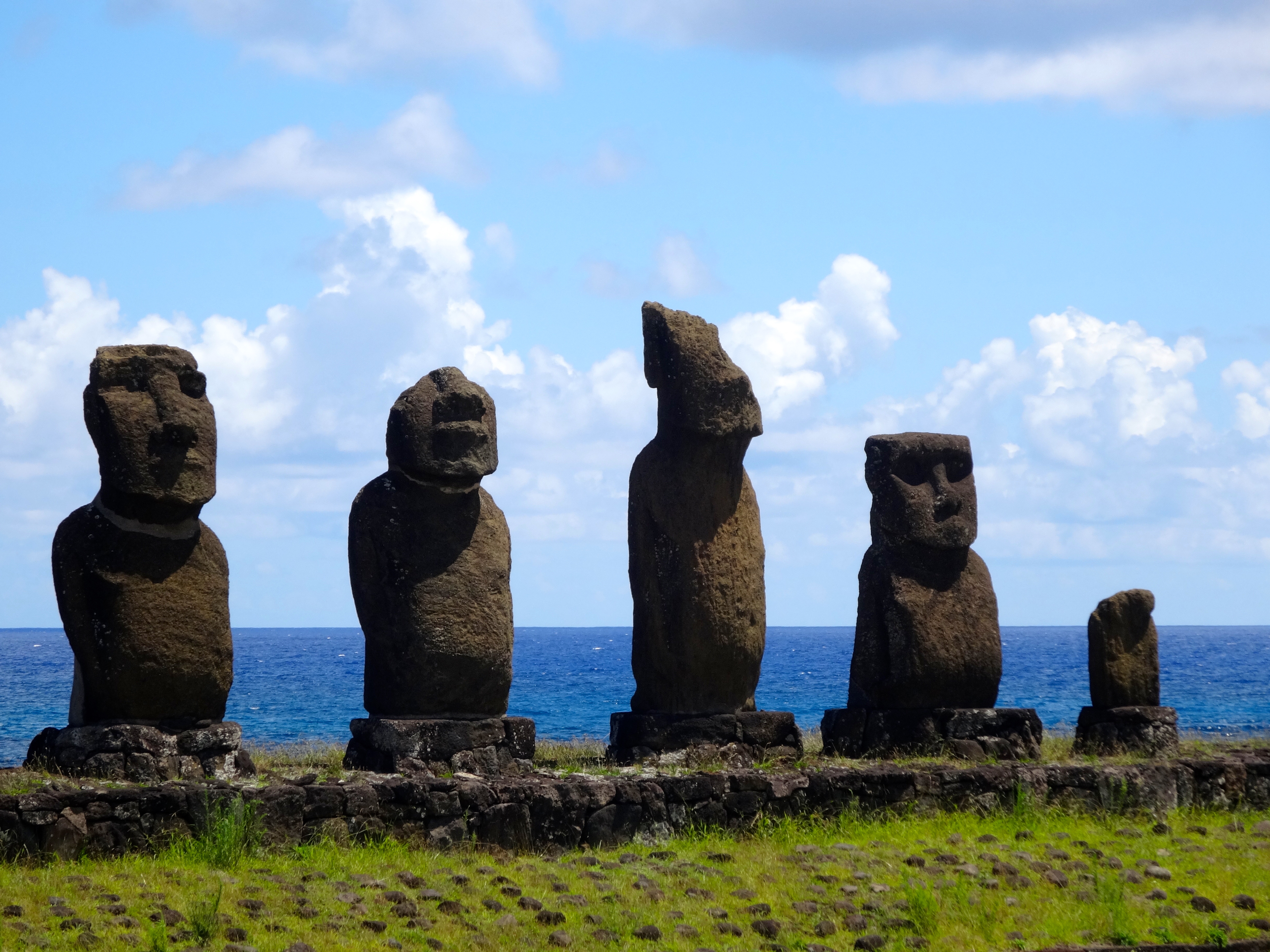
(pronounced mo i) giant rock sculptures made of volcanic rock, survived. These mo’ai statues are between 1,250 and 1,500 years old. Some weigh as much as 85 tons and stand 30 feet tall. There are 887 such statues on the island.

Today much of the island is a protected UNESCO World Heritage site. The Polynesian people settled here in the first millennium. They estimate that at one time the tiny island sustained nearly 15,000 people. However, overpopulation and the introduction of the Polynesian Rat resulted in the gradual and complete deforestation of the entire island. This event then led to the decline of the Rapa Nui civilization.

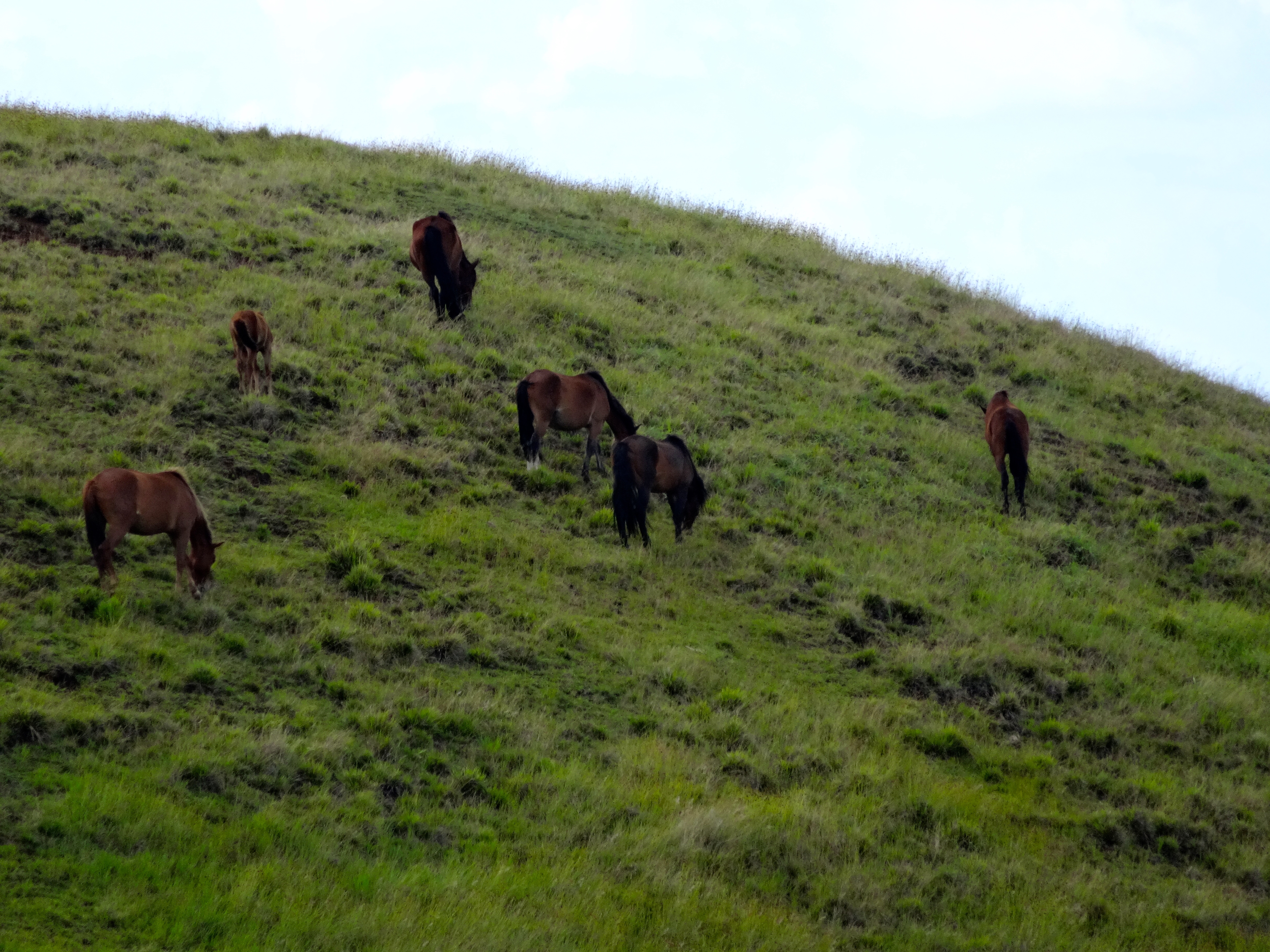
In 1722 when european explorers came to the island there were only 2,000 inhabitants. The population suffered further decline until 1877 where only 111 people remained. The name Easter Island was given to is because it was discovered by the Dutch on Easter in 1722. Wild horses roam freely all over the island (see pictures).

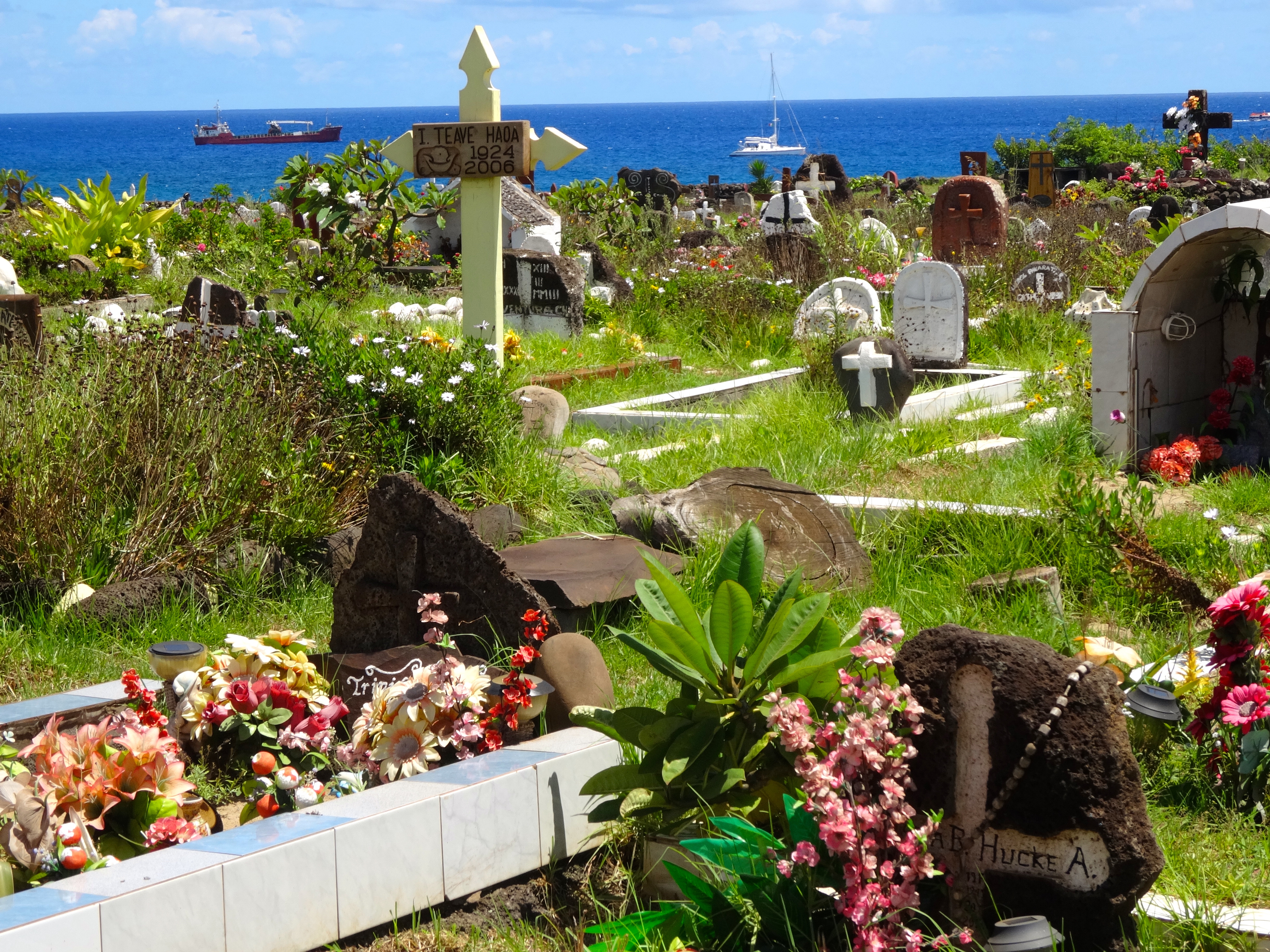
Seaside boneyard.  Very floral.
Seaside boneyard. Very floral.
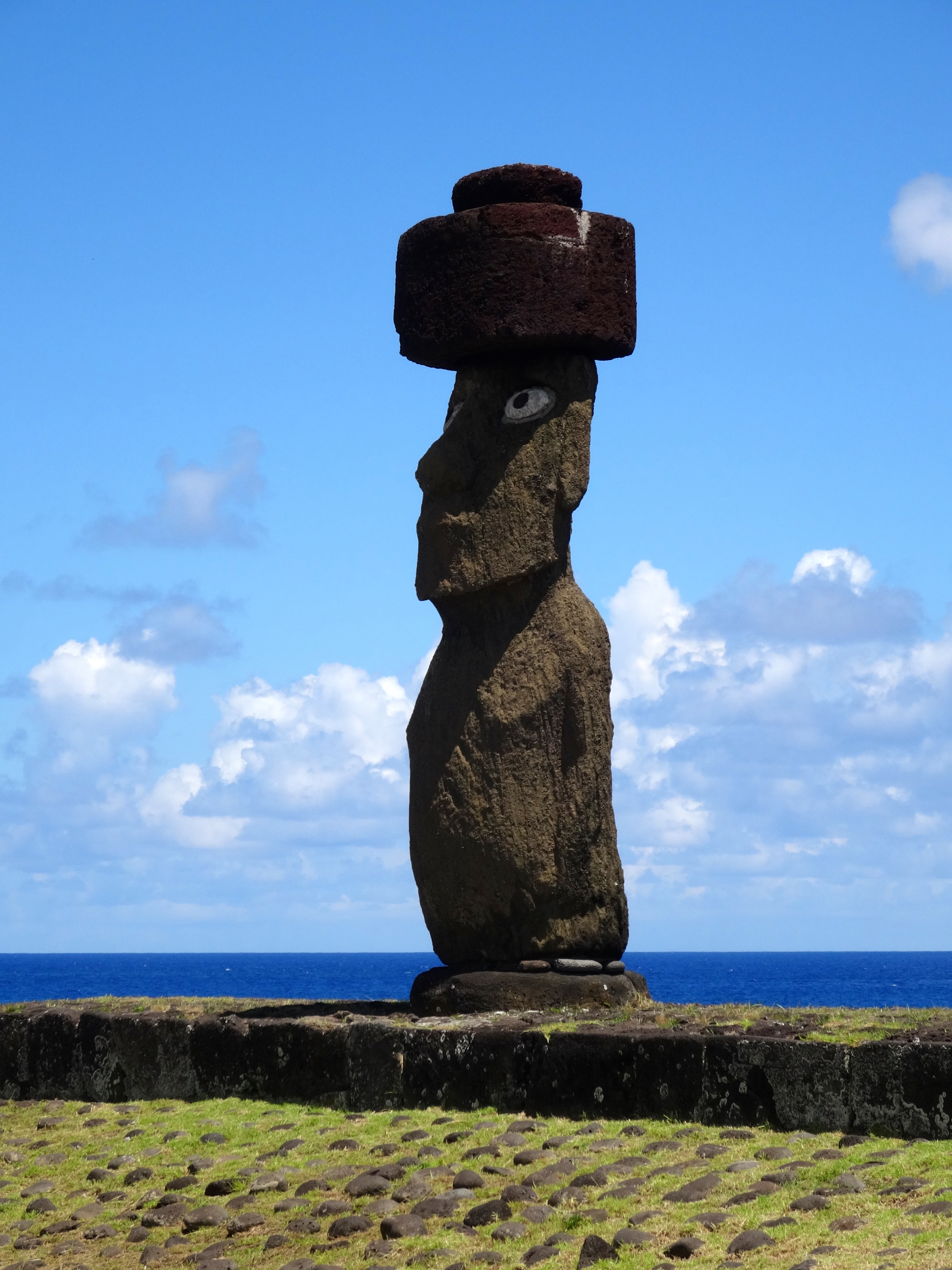
Large single Mo'ai near shoreline
Large single Mo’ai near shoreline
Mo'ai near shoreline
Mo’ai near shoreline
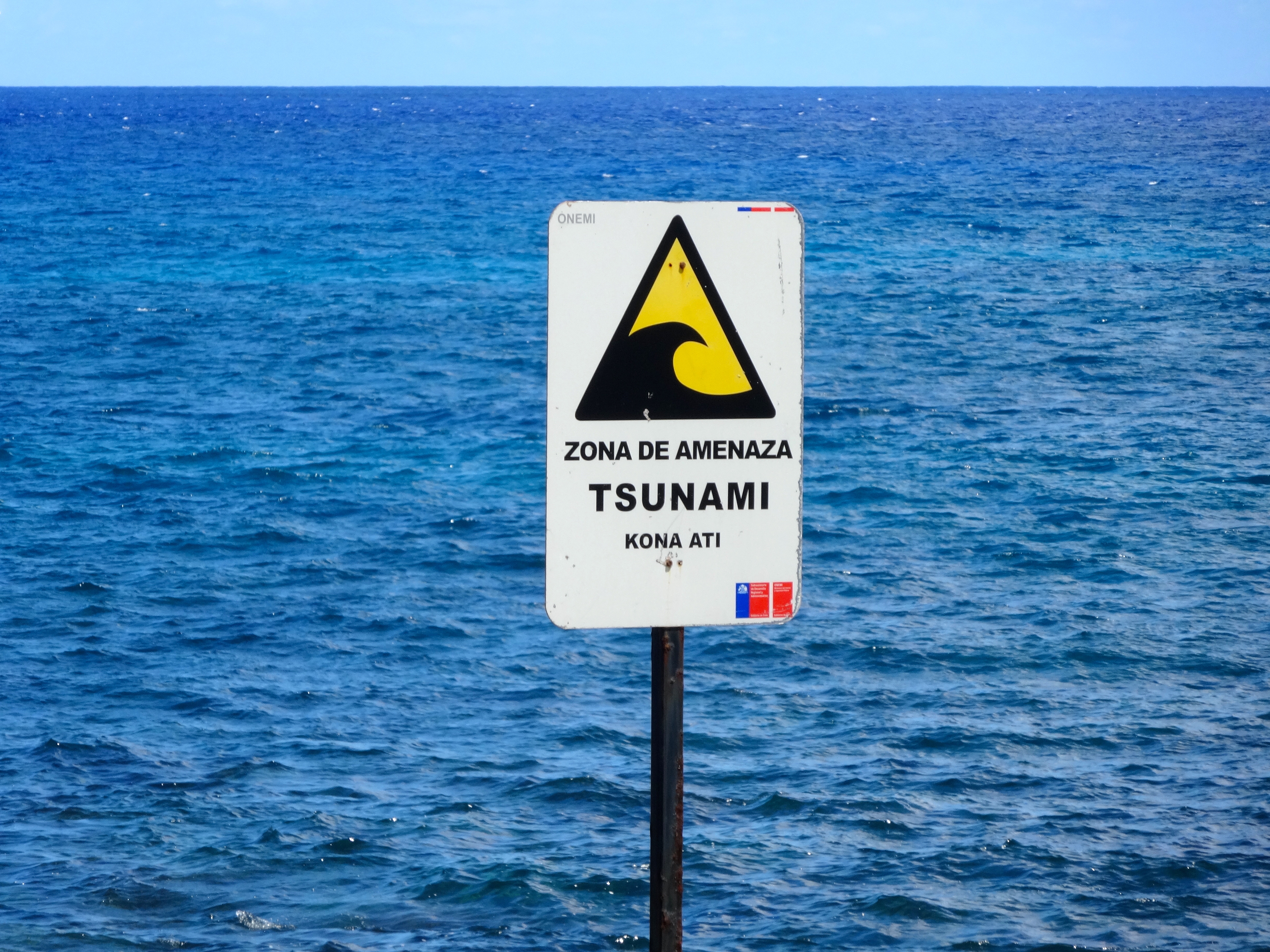
For real.  The Mo'ai near shoreline were all taken down and washed hundreds of yards inland by a giant tsunami in 1915.
For real. The Mo’ai near shoreline were all taken down and washed hundreds of yards inland by a giant tsunami in 1915.

DSC05045

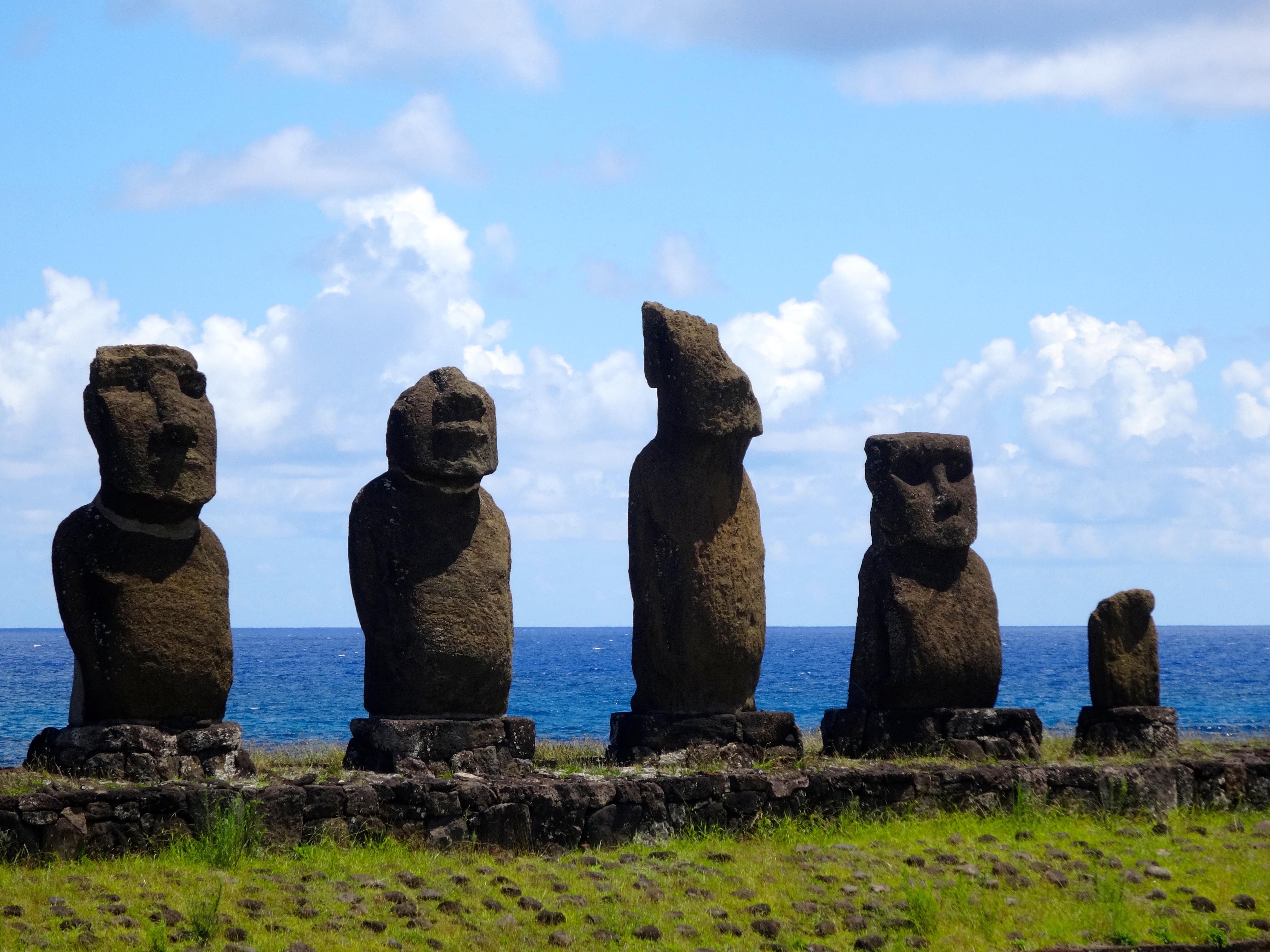
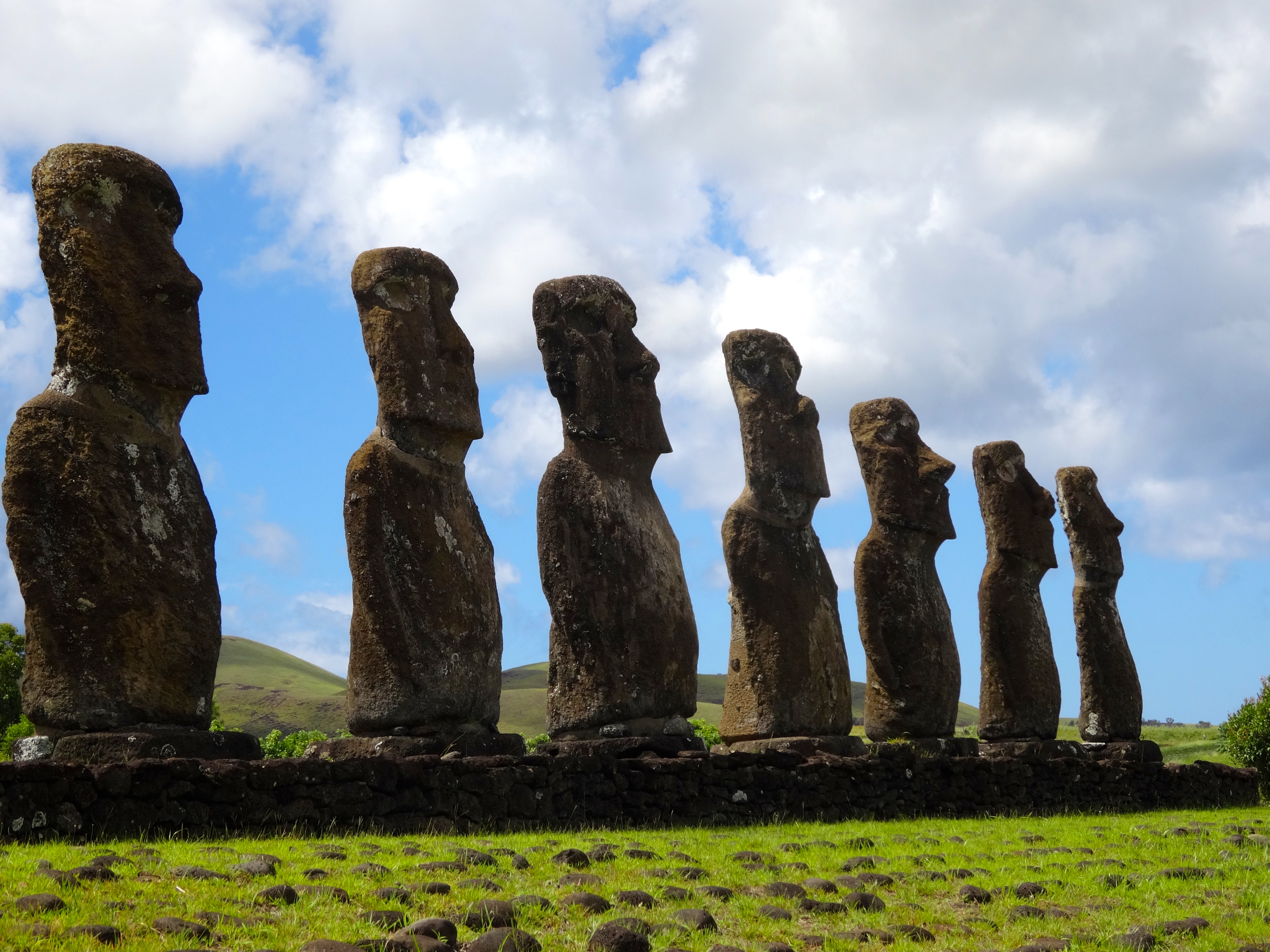
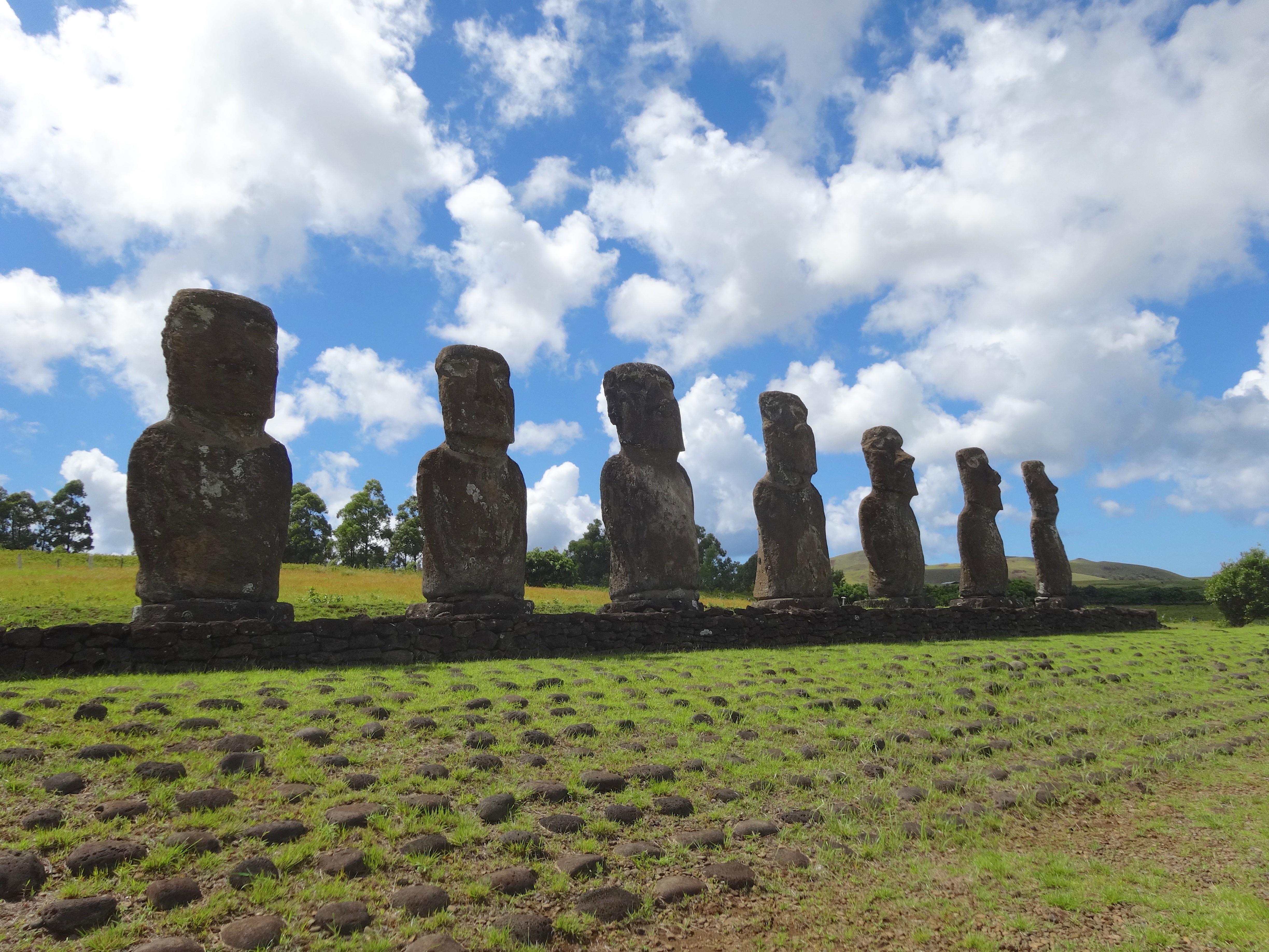
Group of 7 giant statues
More signs of the once deforested landscape.
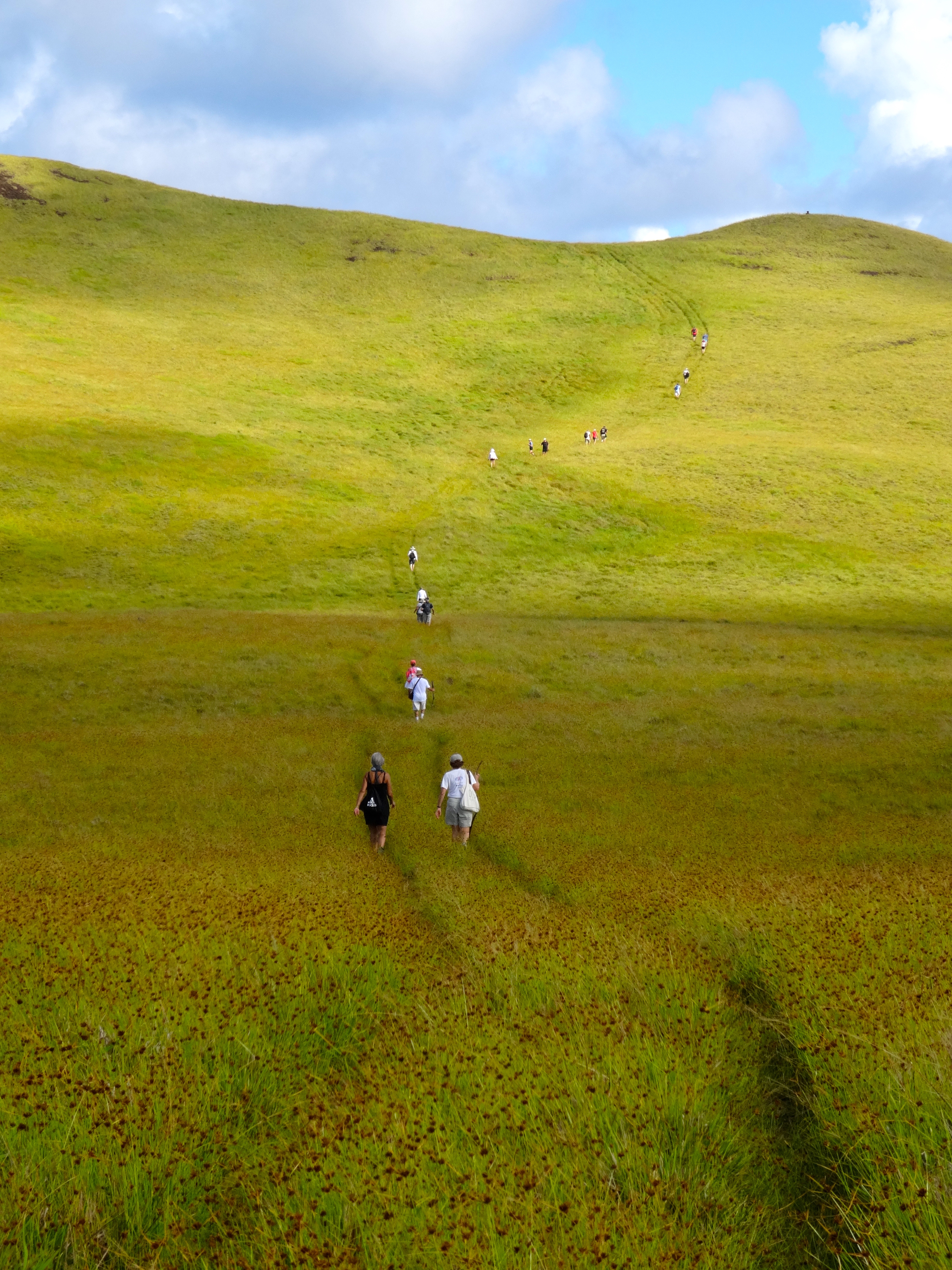
Trekking up to the summit of Trevaka Mountain. Approx 2,000 feet above the ocean.
Yet more proof of deforested landscape.

DSC05068

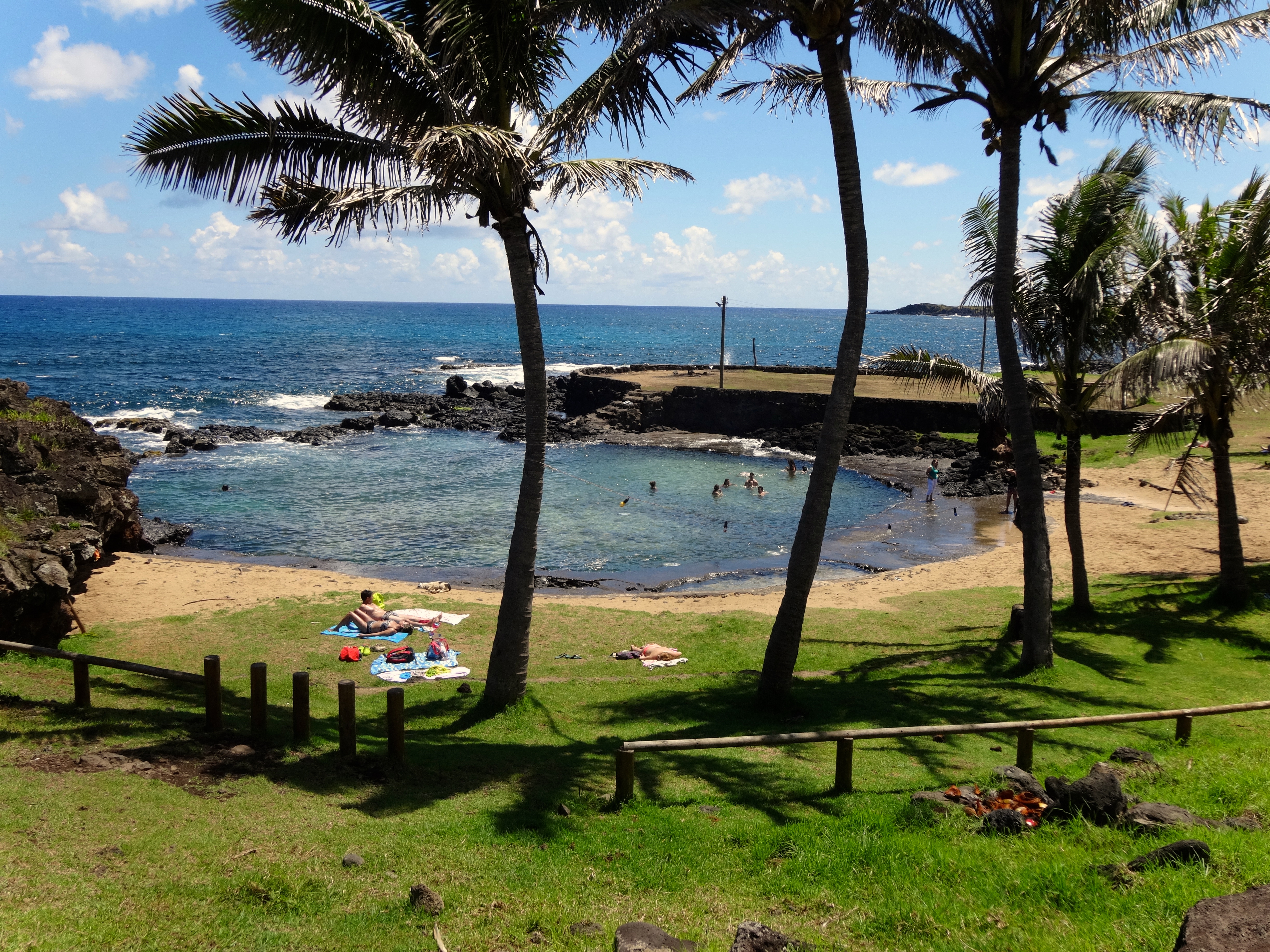
Public little swim beach enjoyed by locals.
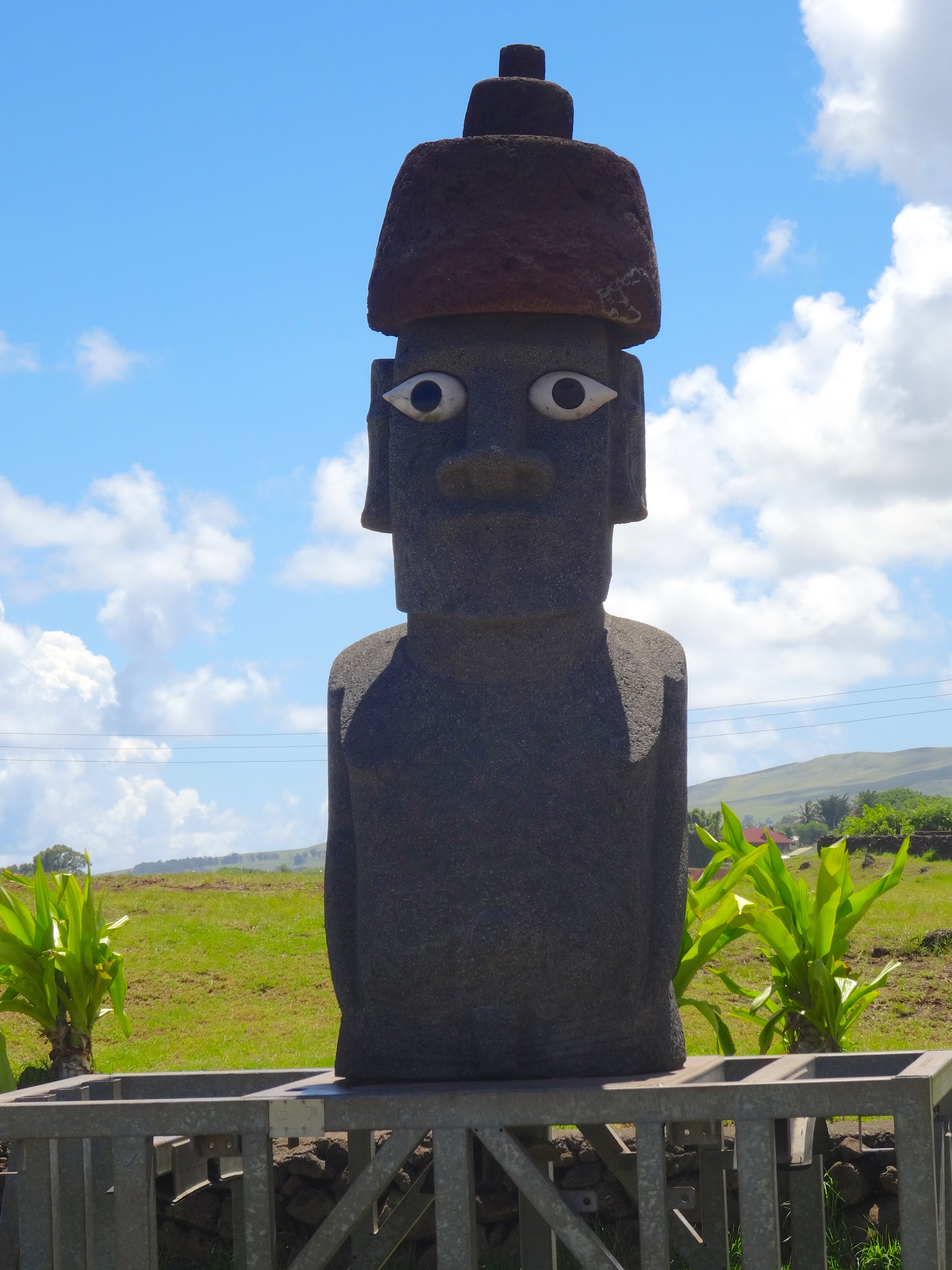
This mo'ai has eyes
This mo’ai has eyes

DSC05034

Sacred site of the 7 mo'ai
Sacred site of the 7 mo’ai
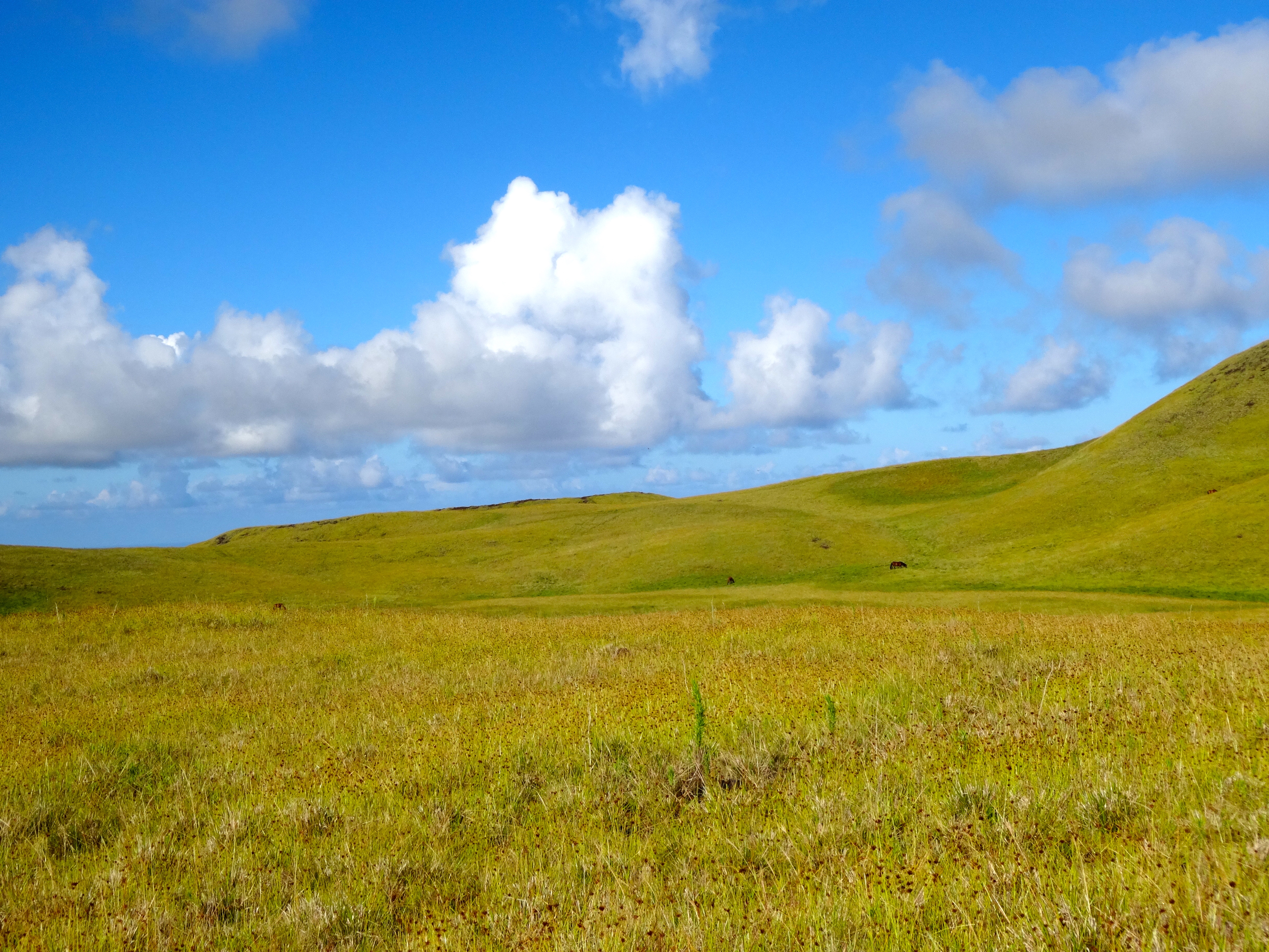
Wild horses on hillside.

Pitcairn, Pitcairn Island

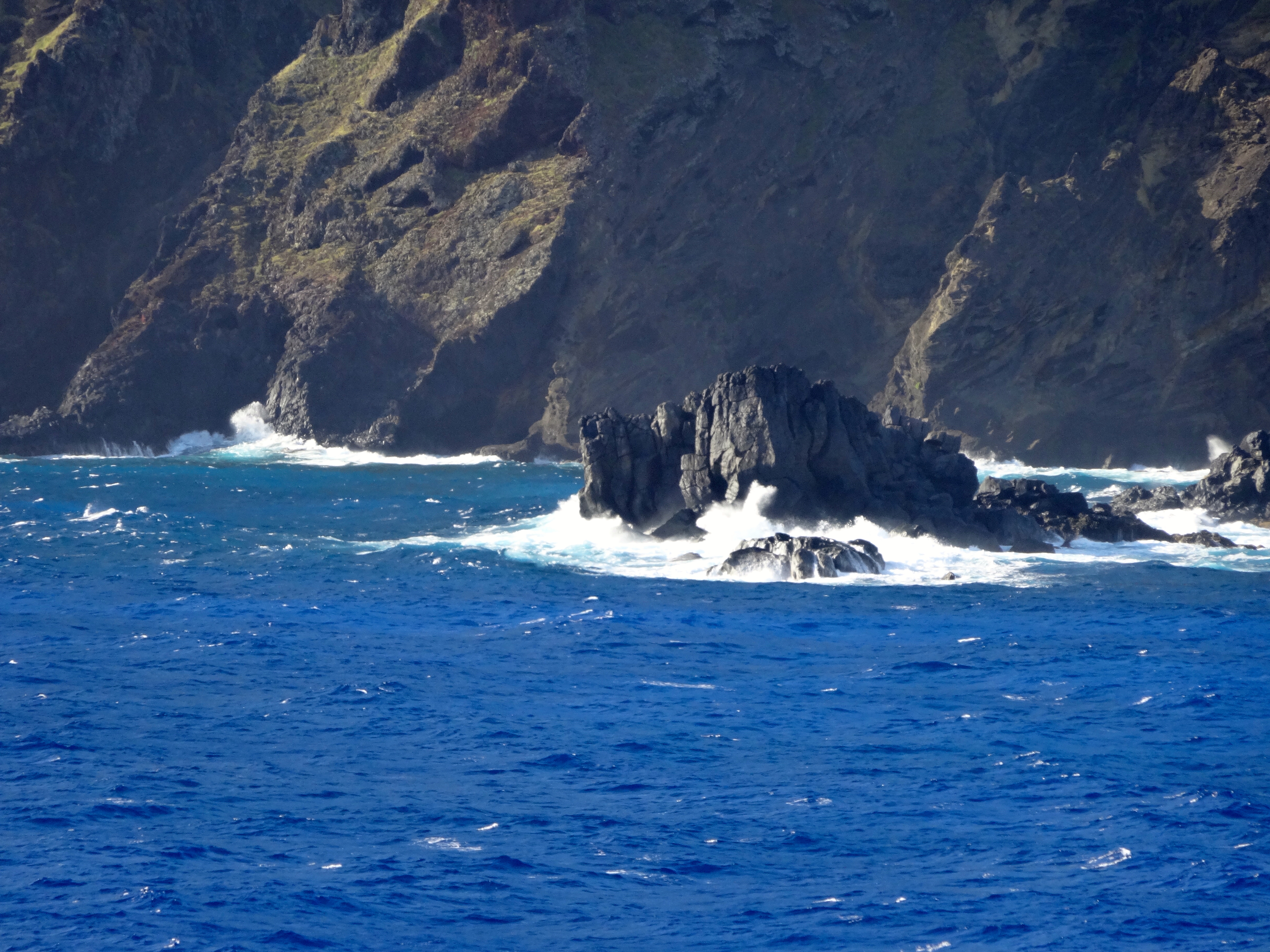
Ocean swells preventing me from making landfall.
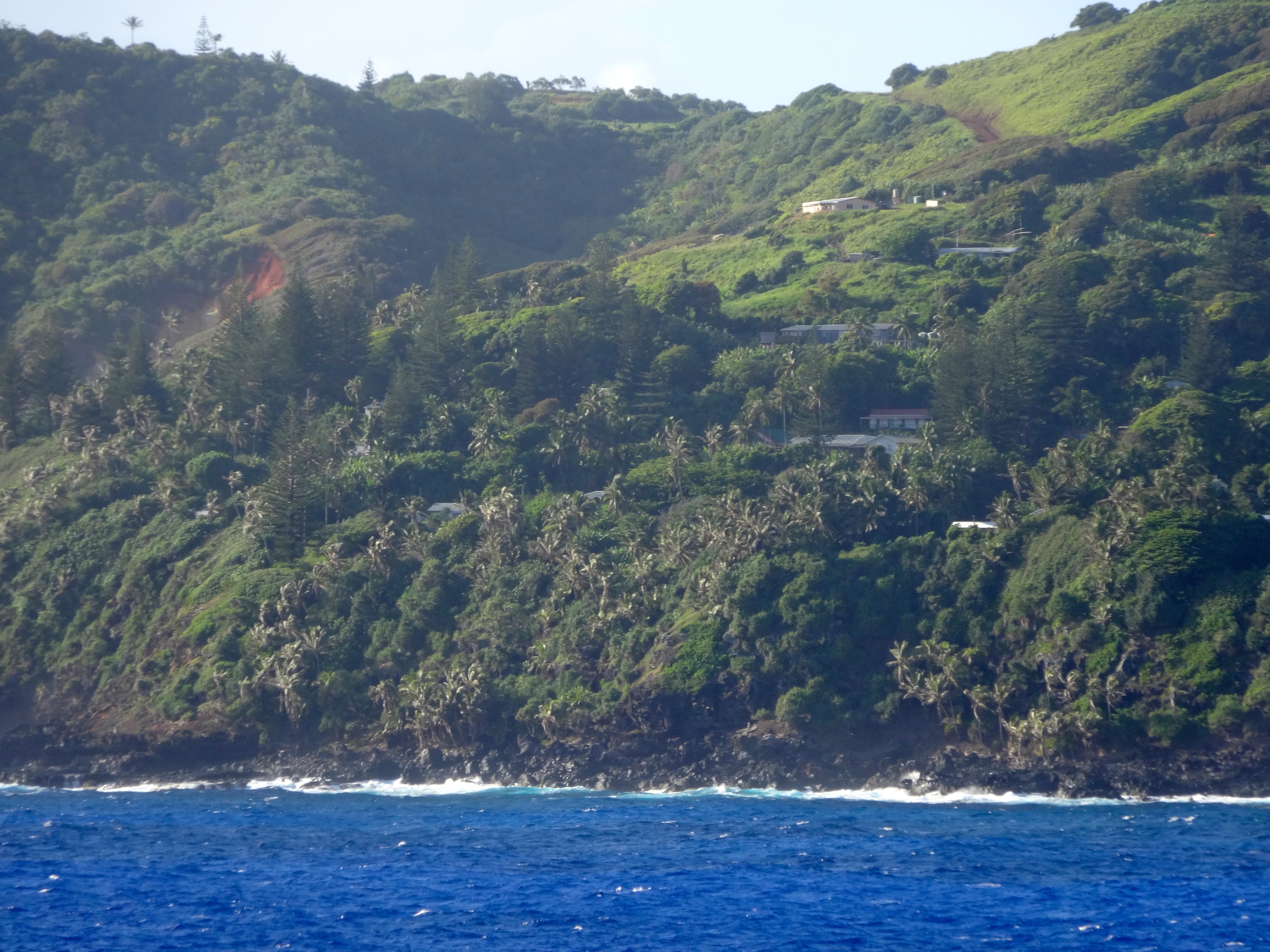
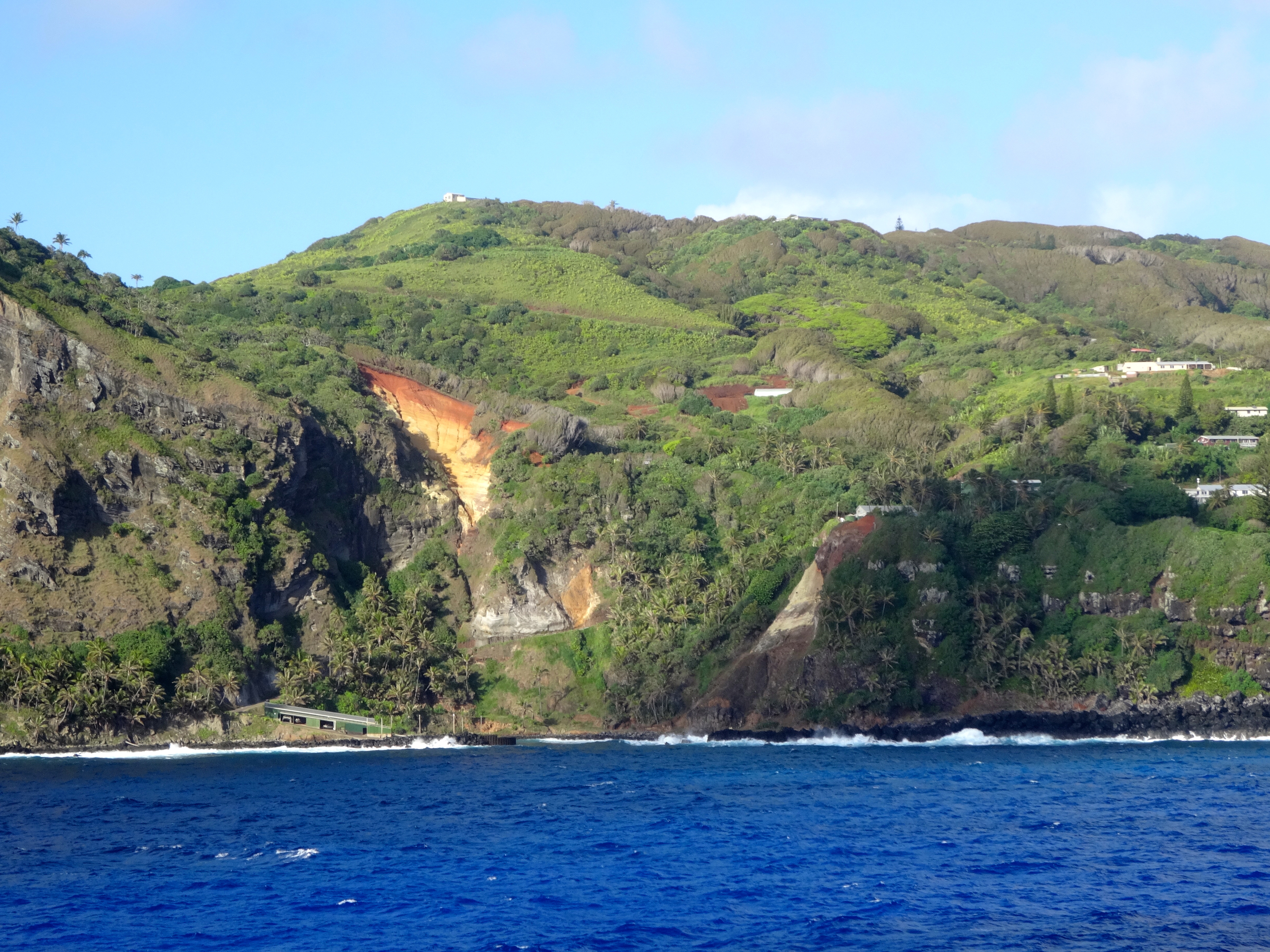
You can see the houses built on the "Road of Difficulty."  Aptly named as everything must go up.
You can see the houses built on the “Road of Difficulty.” Aptly named as everything must go up.
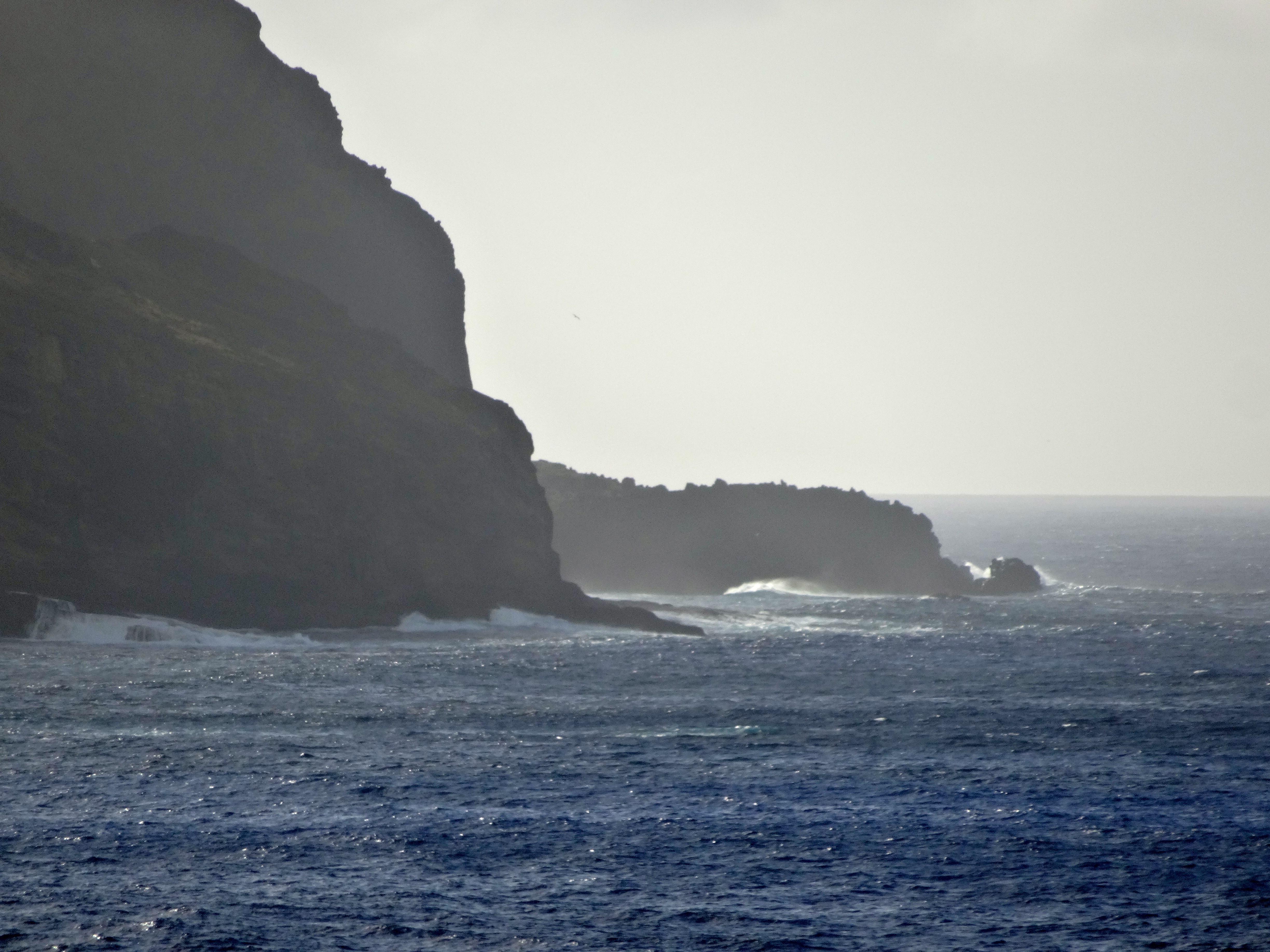
See the face in the rocks?
The potential landing spot.
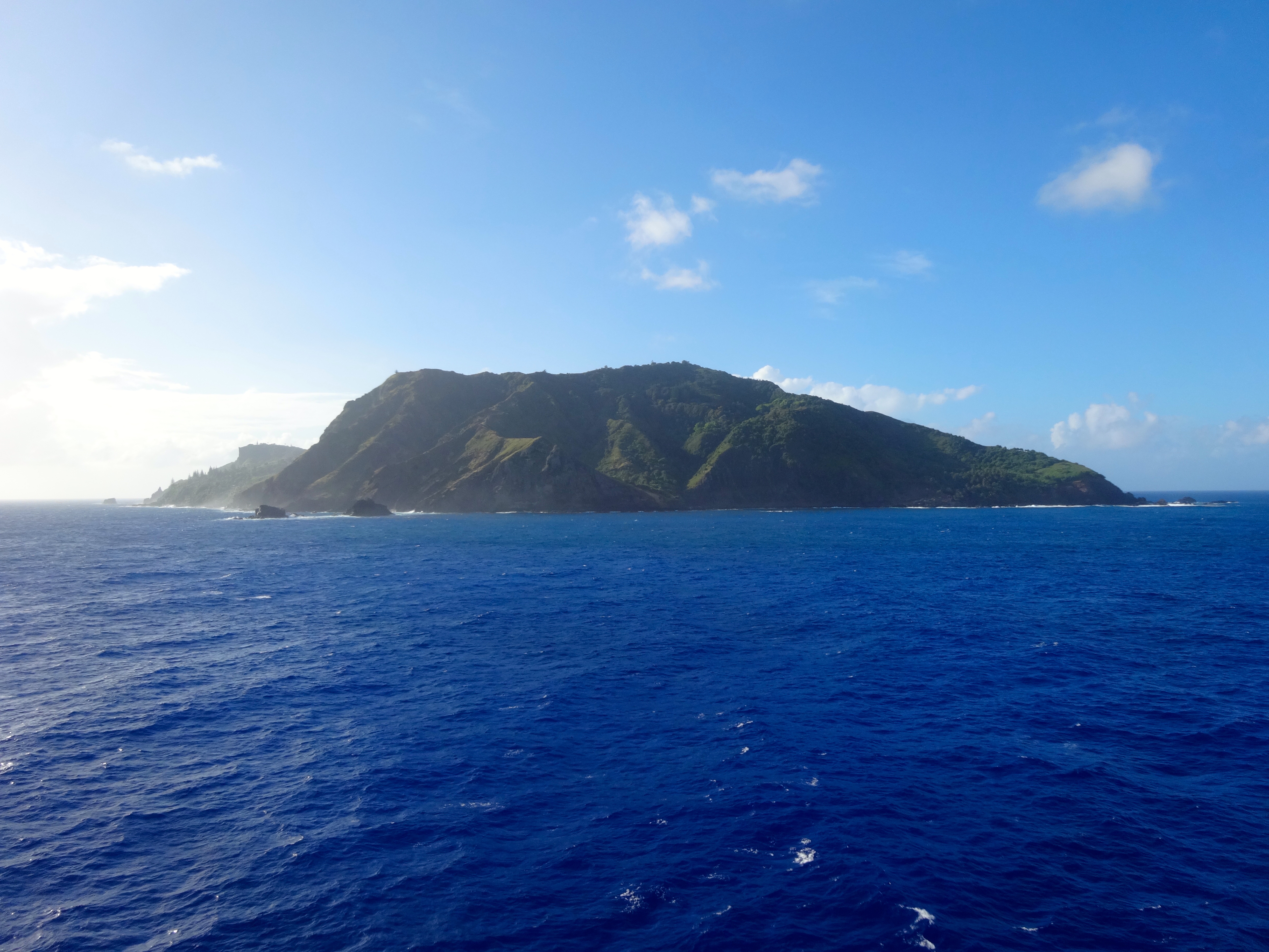
The entire island is only 18 square miles.  That's 3x6 miles.
The entire island is only 18 square miles. That’s 3×6 miles.
The entire island is unprotected from the open ocean.

Pitcairn Island is not for everyone. However if you were a fan of the book or movie “Mutiny on the Bounty,” please read on. Pitcairn is one of the remotest of all of the world’s inhabited islands, lying just halfway between New Zealand and the Americas. 4,800 KMs separate Pitcairn from everything else. Just a few archipelagos lie to the north; and the southern seas are empty until you reach Antartica.
Here’s were it gets really fascinating. The Island is inhabited only by the decedents of the Bounty mutineers and a few Tahitians. The total number is only 56. The history is still apparent in the surnames of these people. With only 56 inhabitants, originating from only 4 main families, Pitcairn is the least populous national jurisdiction in the world.
The Island has artifacts demonstrating that is may have had inhabitants before the mutineers landed and settled there in 1790. The tale of the mutiny of the British tall ship Bounty, which then let to the founding of Pitcairn is well known. All which needs to be mentioned here is from Tahiti with a cargo of breadfruit trees for planting in the West Indies, the captain’s mate Fletcher Christian, and others mutinied.  Casting adrift the Commander, Lieutenant William Bligh, and 18 other officers loyal to Bligh.  They were set adrift in the Bounty’s small boat.  The mutineers then set sail back to Tahiti.  (Bligh made it back to England to file charges against the mutineers.)

Their relations with the Tahitians soon deteriorated and, fearing discovery and arrest for the act of mutiny, 8 of the mutineers set sail with Fletcher Christian in search of an uninhabited island from where they could hide from the rest of the world.  To help in their cause the mutineers took 6 Tahitian men and 12 women.  Thus, you can imagine these guys had a pretty small gene pool.  Truth is many times stranger than fiction, and in this case, for sure.

Unfortunately for me, the day we planned to make landfall the seas were far to rough.  The ocean swells were 10-12 feet.  Even with the help of the islander’s “longboats” it would have been far too dangerous.  You know if the locals are opting out it must be bad.  So I had to settle for some pics which were taken while circumnavigating around the island.  Just to give you a few nautical facts as to Pitcairn’s location, it is 1,350 miles southeast of Tahiti, 4,100 miles west of Panama, and 3,300 miles from Auckland, NZ.  Auckland is where their administrative headquarters are situated.  Pitcairn remains the only British possession in the South Pacific.


Fakarava, French Polynesia

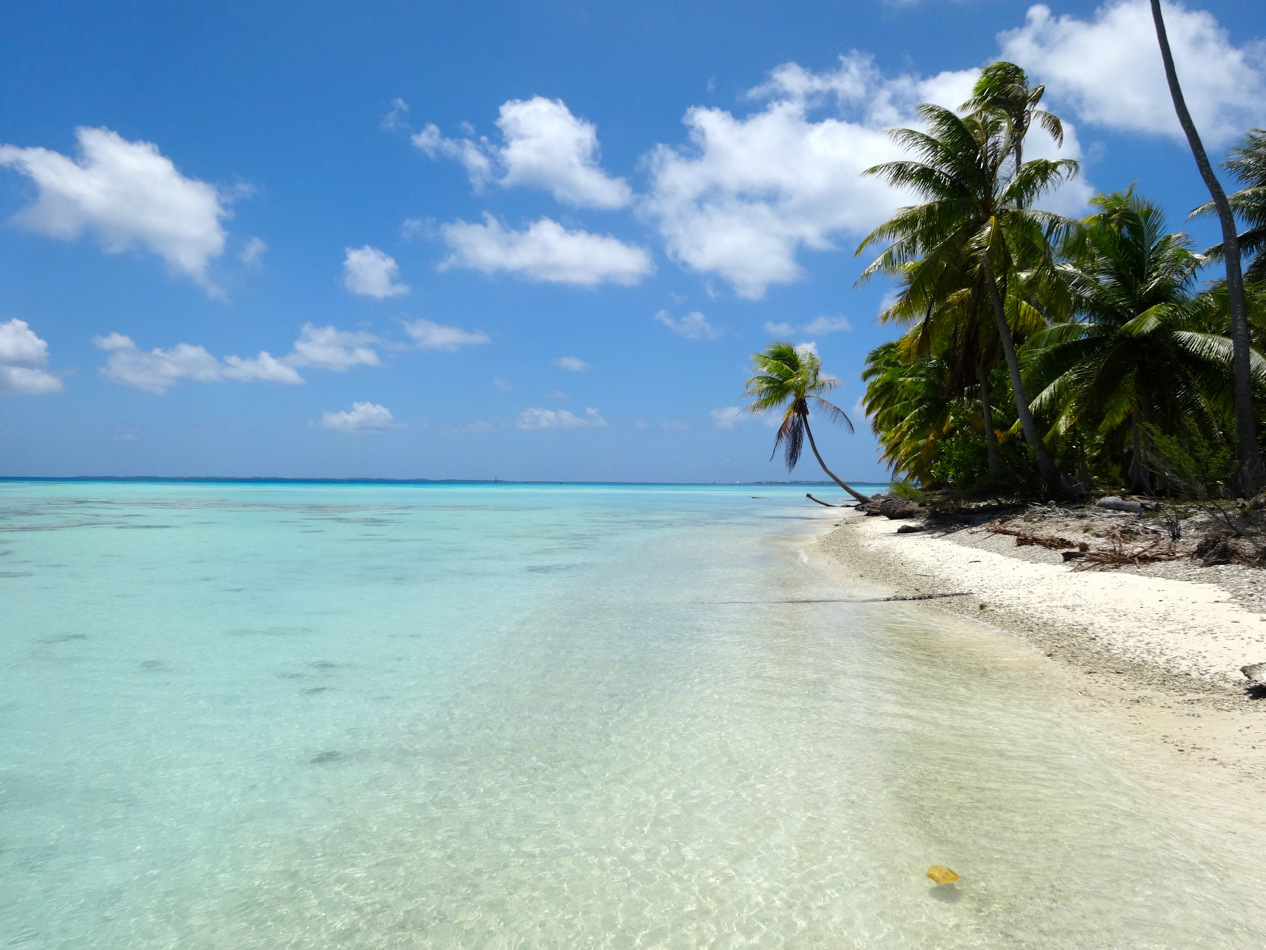
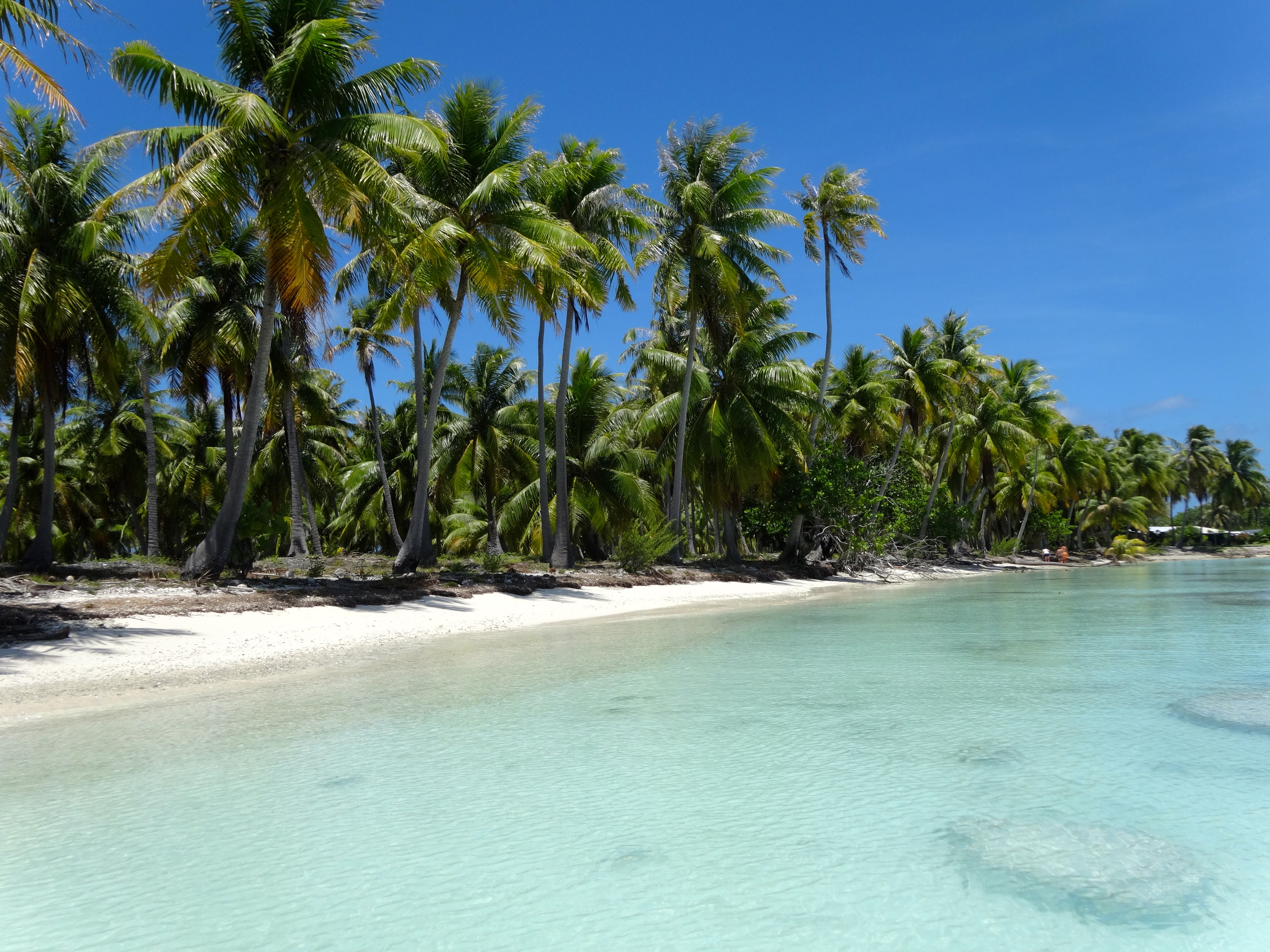
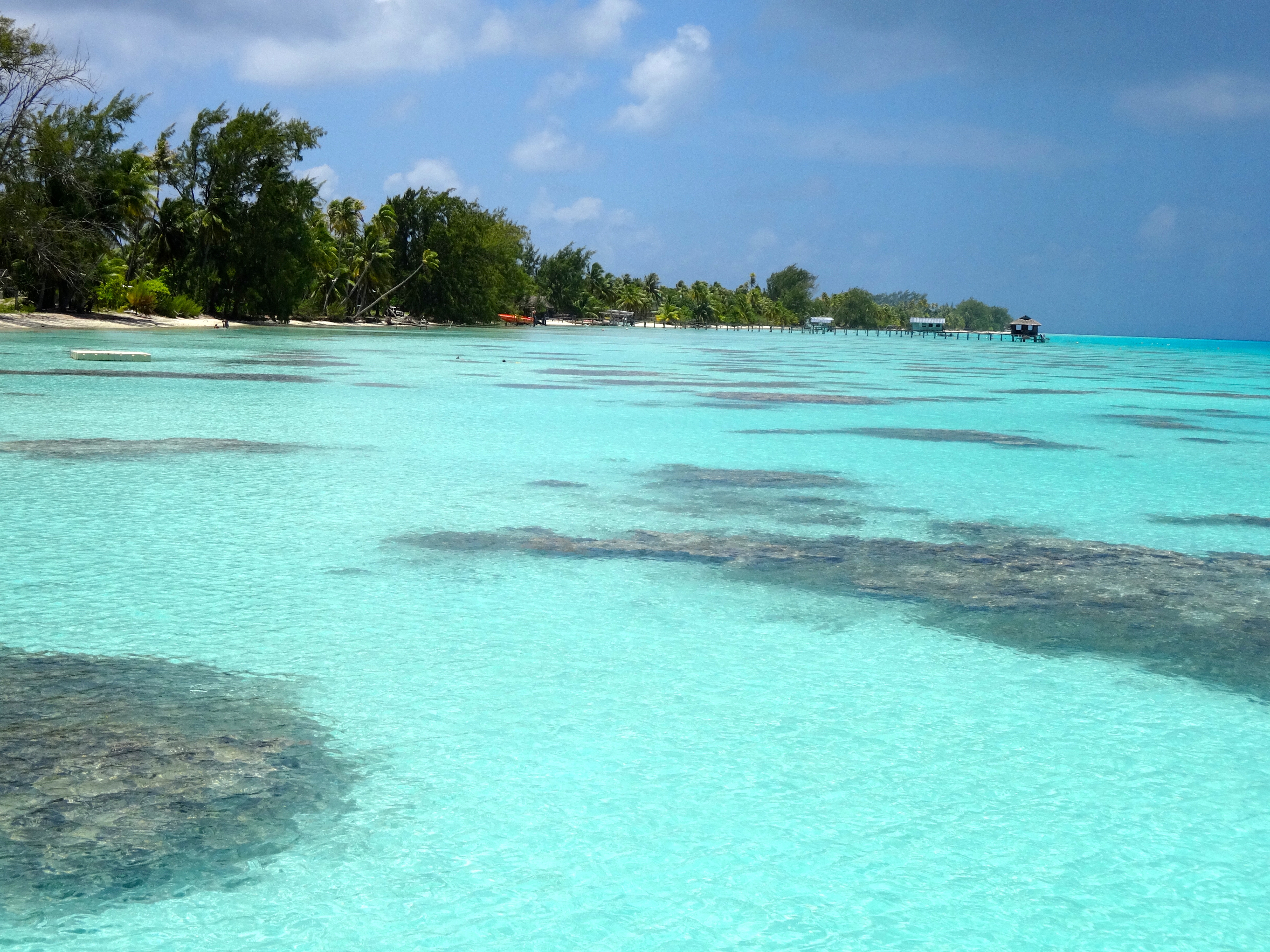
This is actually a tiny Atoll, albeit one of the largest in the island chain. It’s really the stuff of South Seas fantasy. White and pink sand beaches are the rule here. Only 3,000 inhabitants enjoy this beautiful idyllic place. Bikes are the best way to get around. The entire place is a Unesco-protected area.
Being such only testifies to the richness of the ecosystem of this atoll: particularly rare fauna and flora, with kingfisher hunter, the palm trees of the Tuamotu and, in the lagoons, the abundant variety of shellfish.
Fabulous diving and snorkeling experiences here too. The waters contain a high concentration of pelagic fauna and fishes such as barracudas, hammerhead sharks and tiger sharks. After being in the water with these animals you do develop a certain comfort level, but always have an elevated awareness around you.

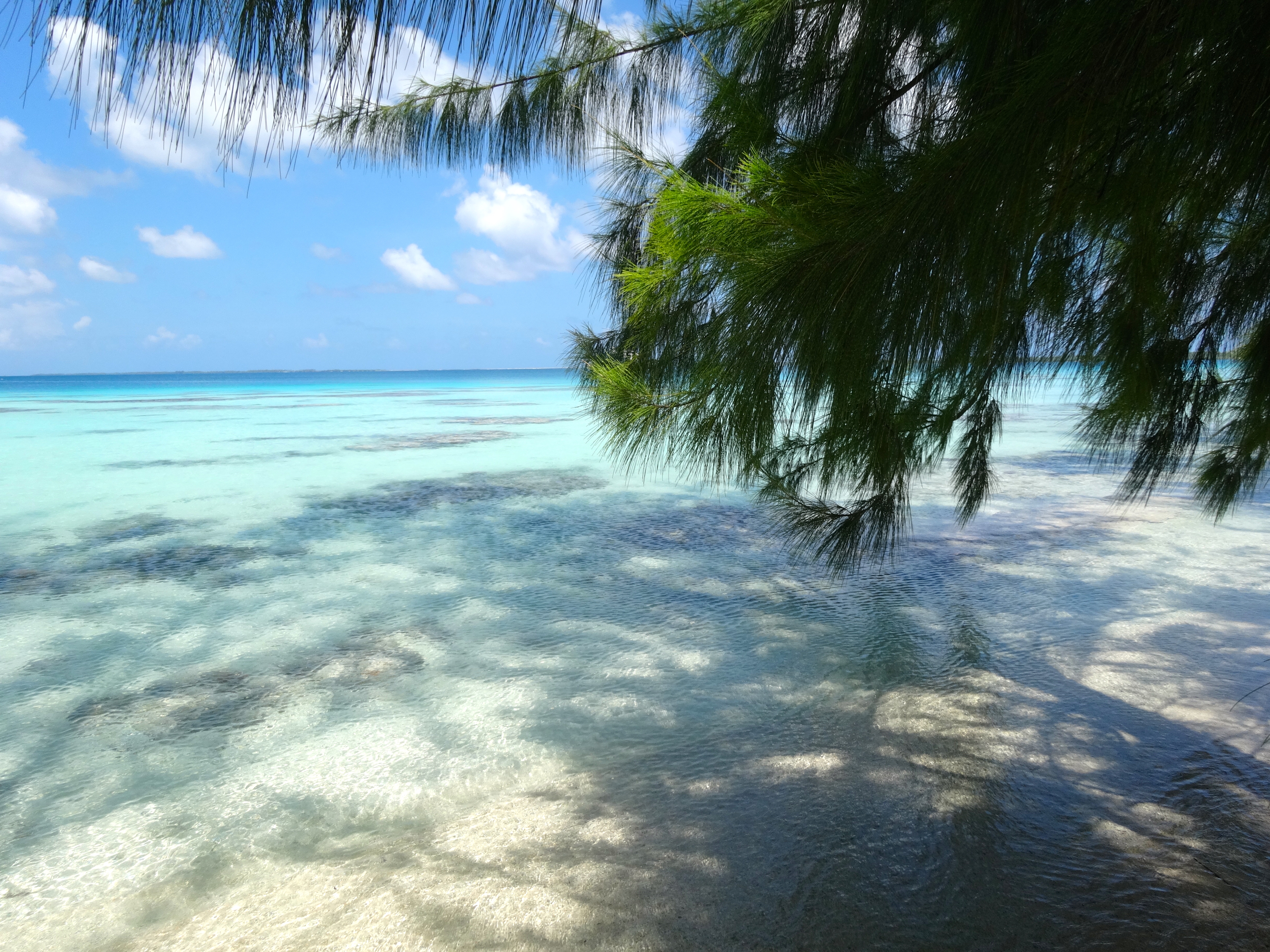
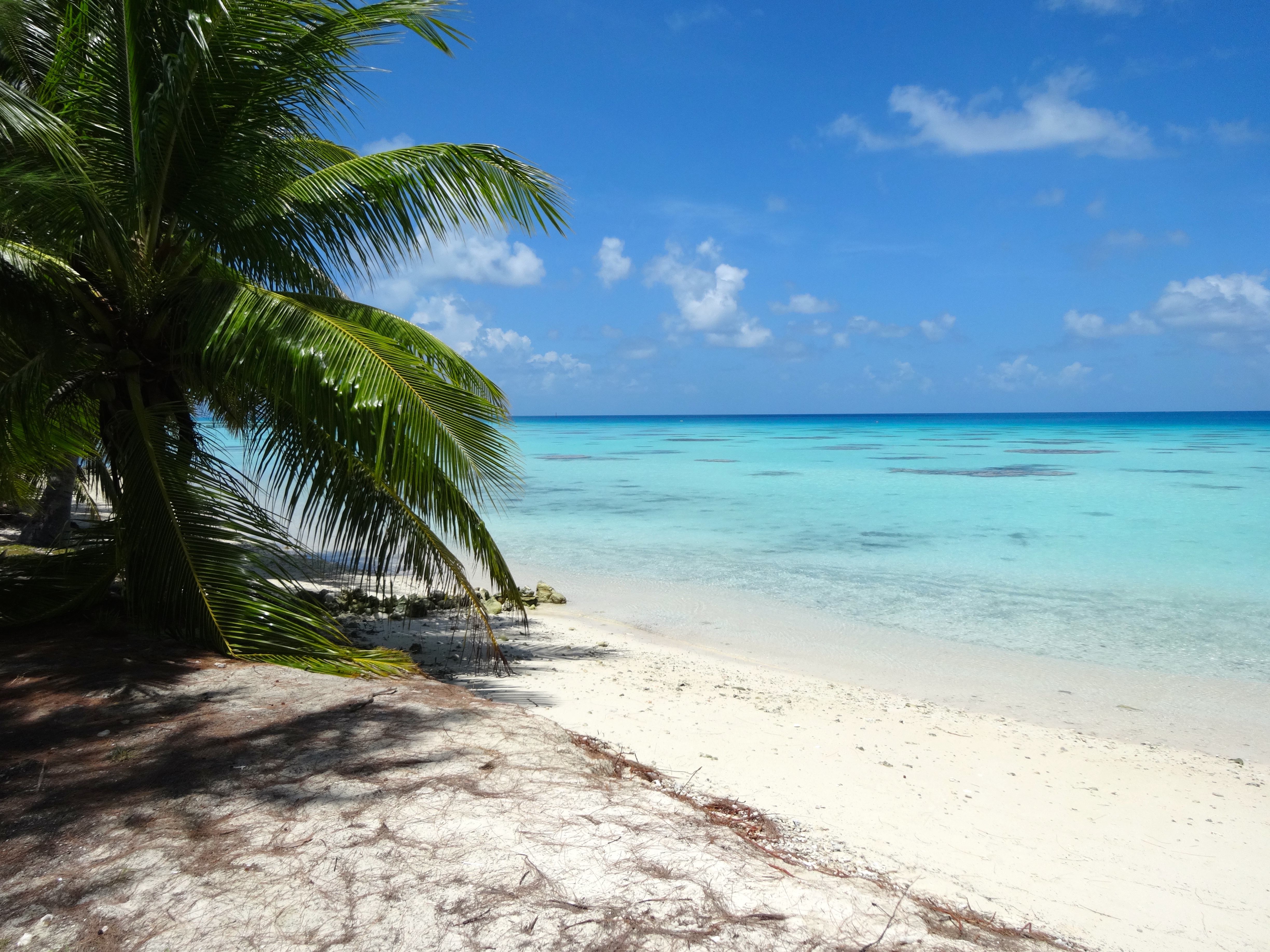
This is a pretty magical place.  Check out the pics.  You just keep shooting them, the atoll seems to get more beautiful as you spend time here.

Miles of this.  Amazing!
Miles of this. Amazing!
Snorkel and just soak site #2.

DSC04831

Snorkel site #1. Fish mostly around the coral reefs
Fairly typical beach here.
Just as beautiful.  Never gets boring.
Just as beautiful. Never gets boring.

Bora Bora, French Polynesia

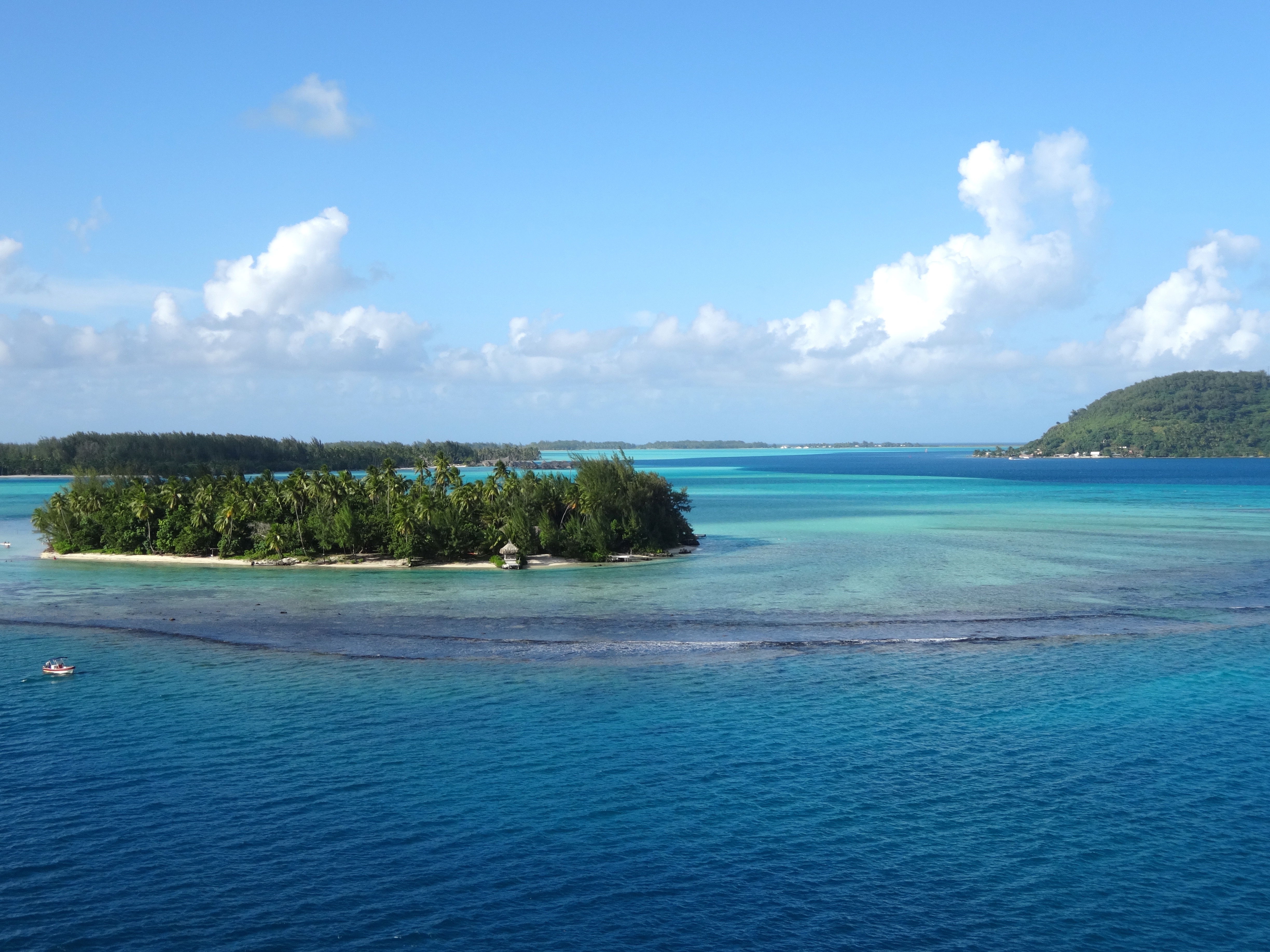
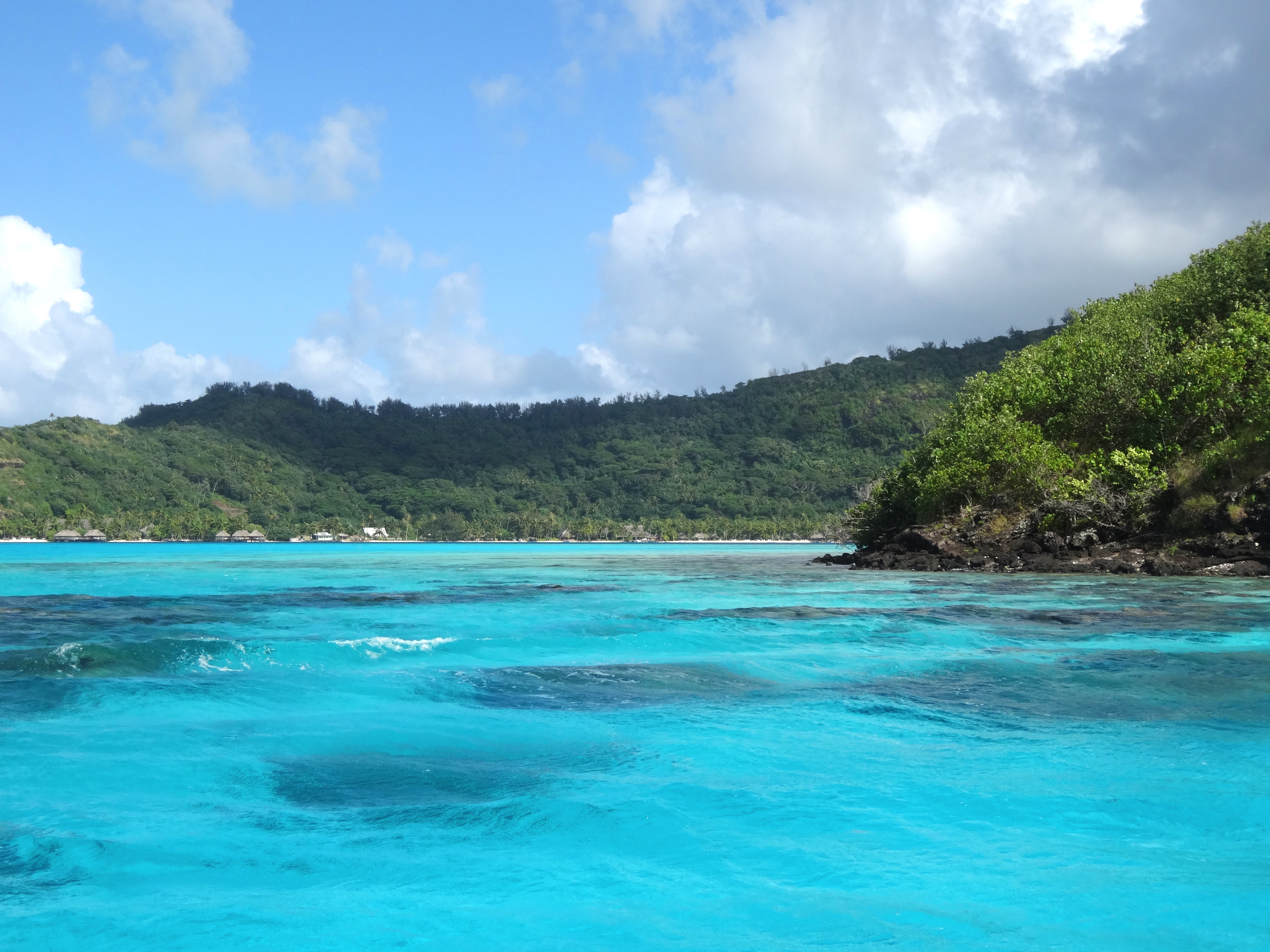
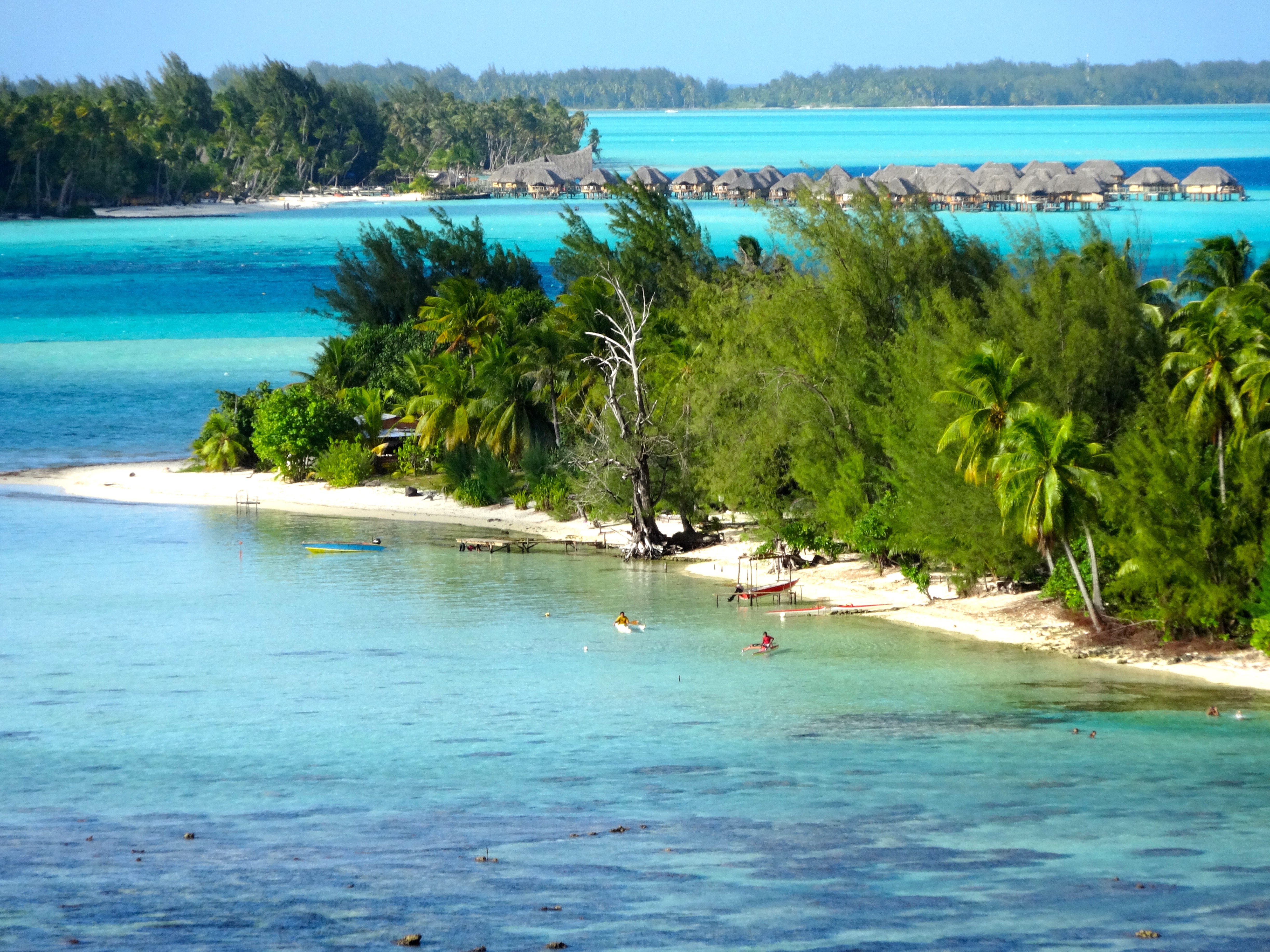
This image shows the different depths by color.
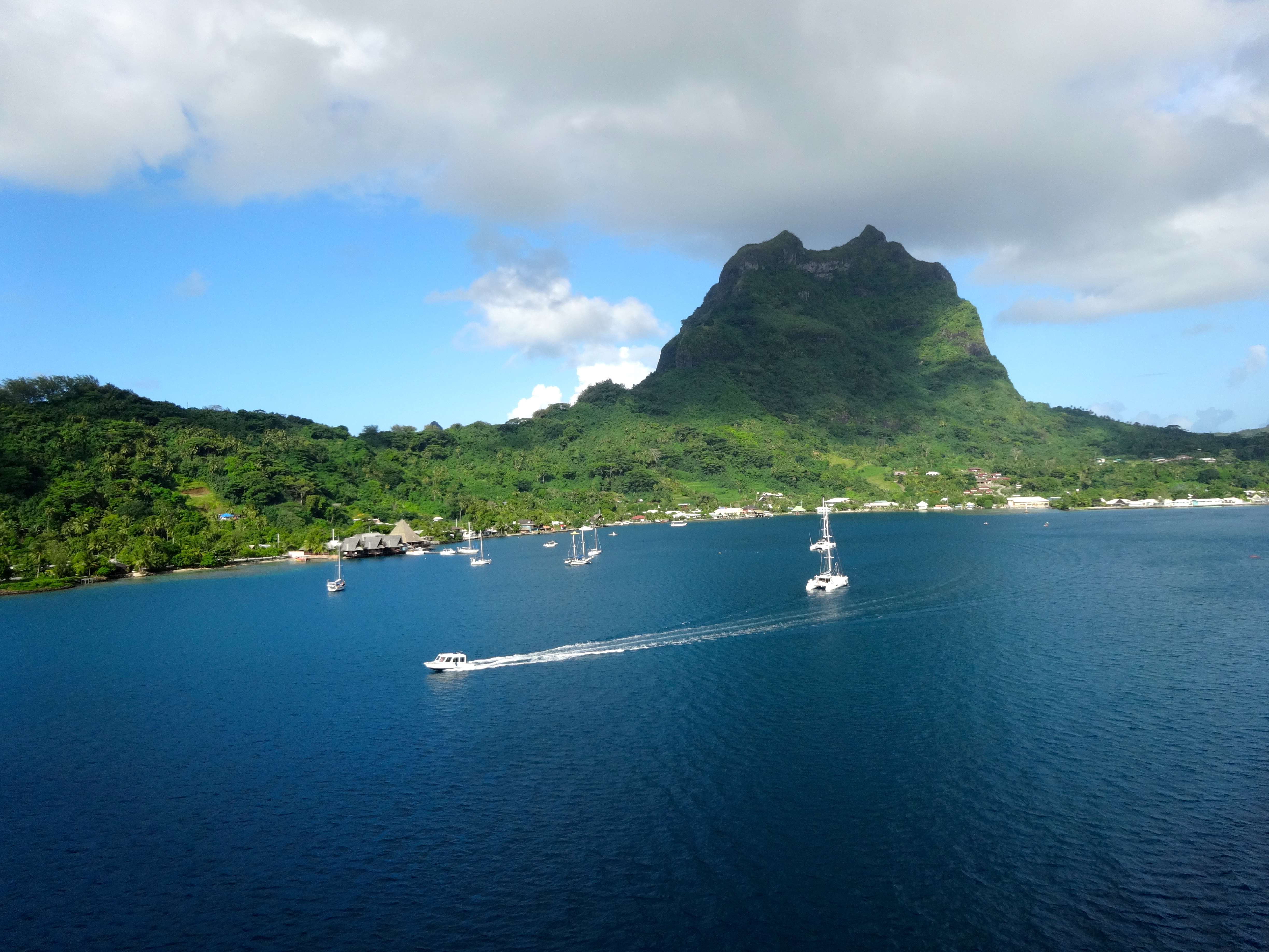
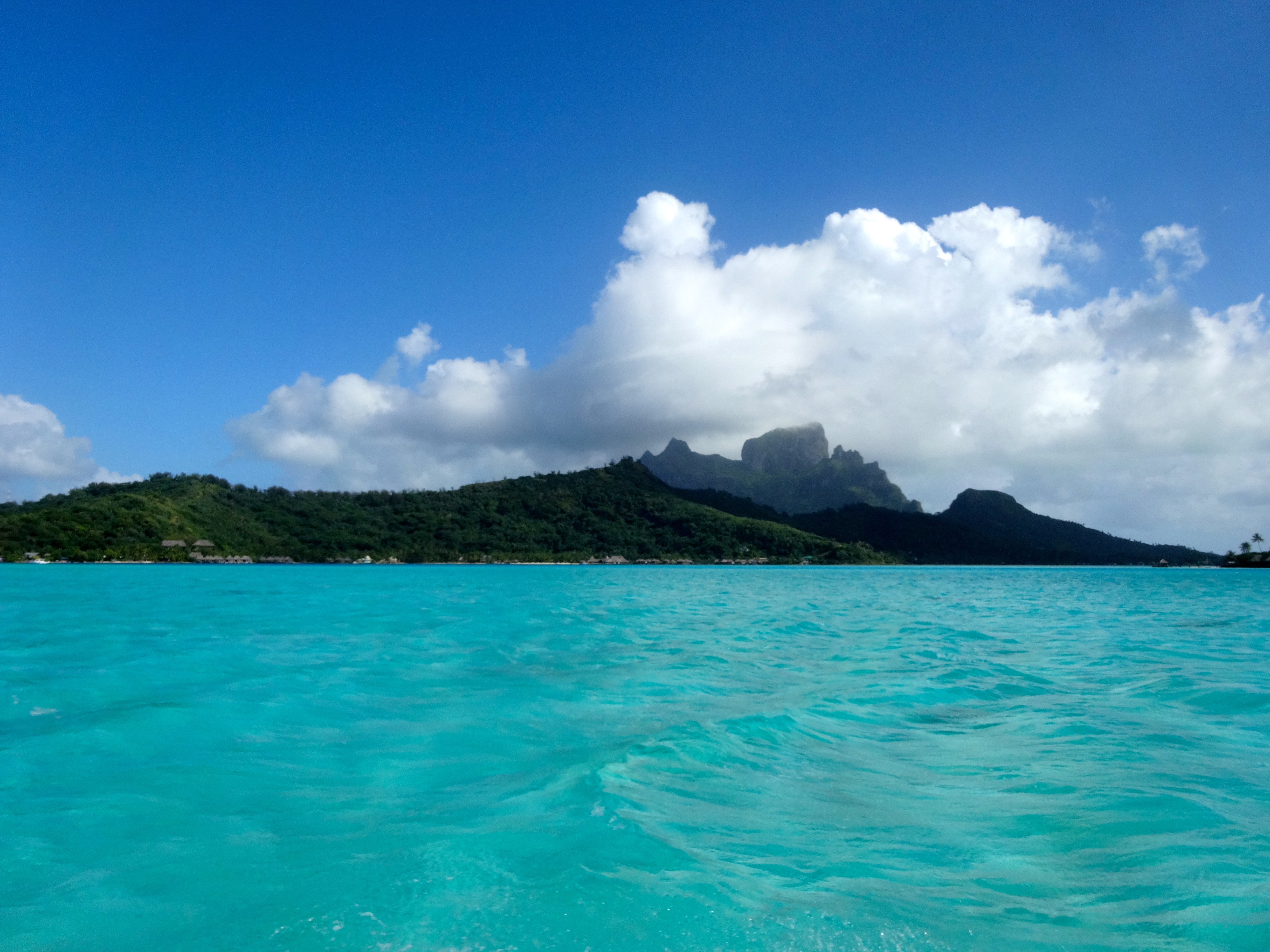
Backside of the 727 meter mountain formation which has been photographed by many. This is the less common view.
Snorkel site with many sharks
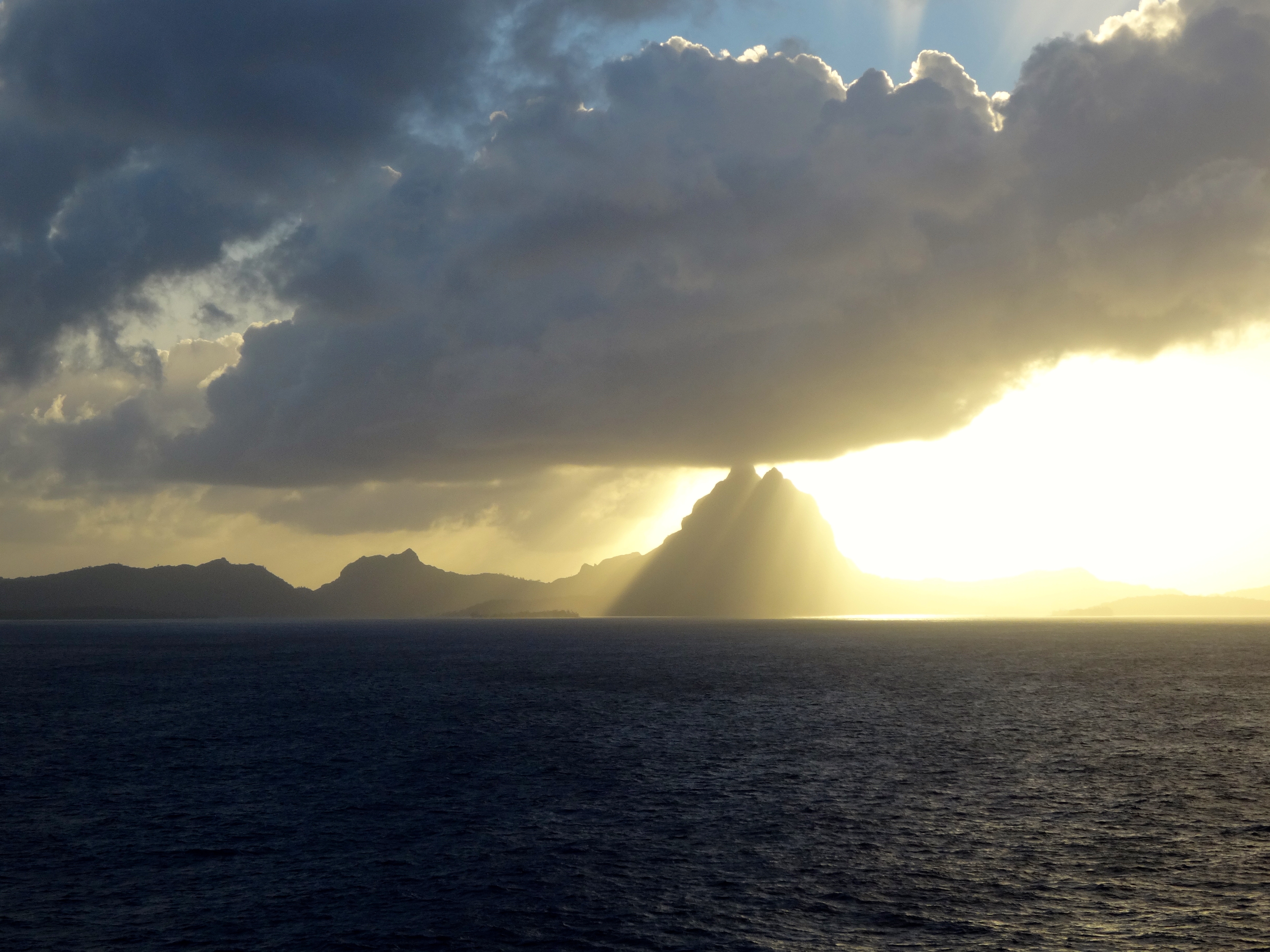
Bora Bora at sunrise.
Four Seasons Resort in background and locals enjoying the water in foreground
Water depth 1 meter.

This place is unmistakable due to its unique mountains and typography.  The waters where the lightest in color are at a depth of 1 meter.  The slightly darker hue is about 3 meters.  It is possible to walk for hundreds of yards at the 1 meter depth.  While snorkeling is is quite common to spot black tip and reef sharks along with the other thousand of so varieties of wildlife.  At first you are taken aback when you spot the sharks and realize that you are in their habitant and they are only 5 meters from you.  Unless they are feeding, they remain incredibly graceful.  Awesome experience.

As you can see from the colors it is easy to believe for a moment that you are on hallucinagens.   Amazing palette of colors.  Water temps are ranging from 78 to 84 degrees F.

Huahine, French Polynesia

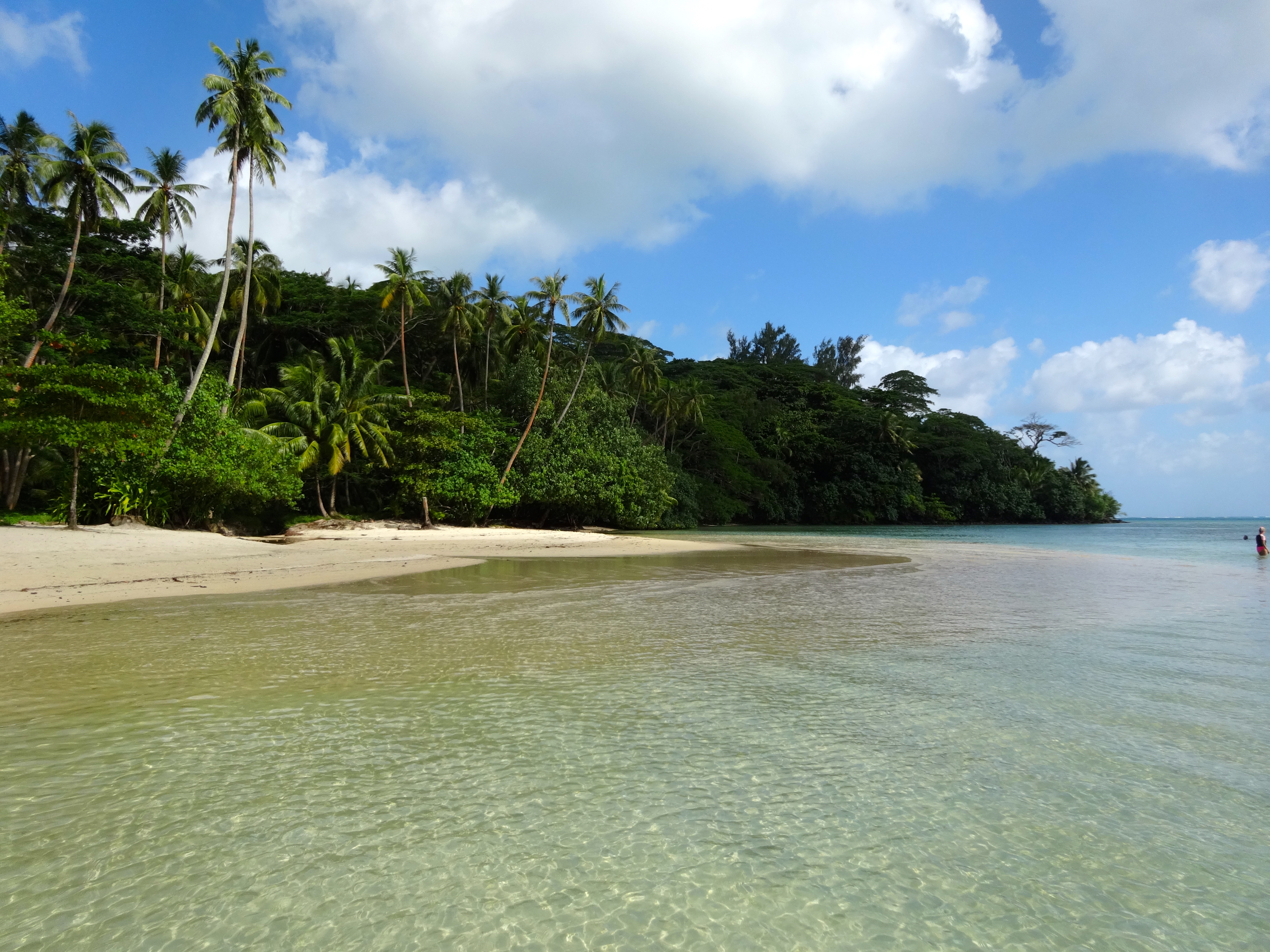
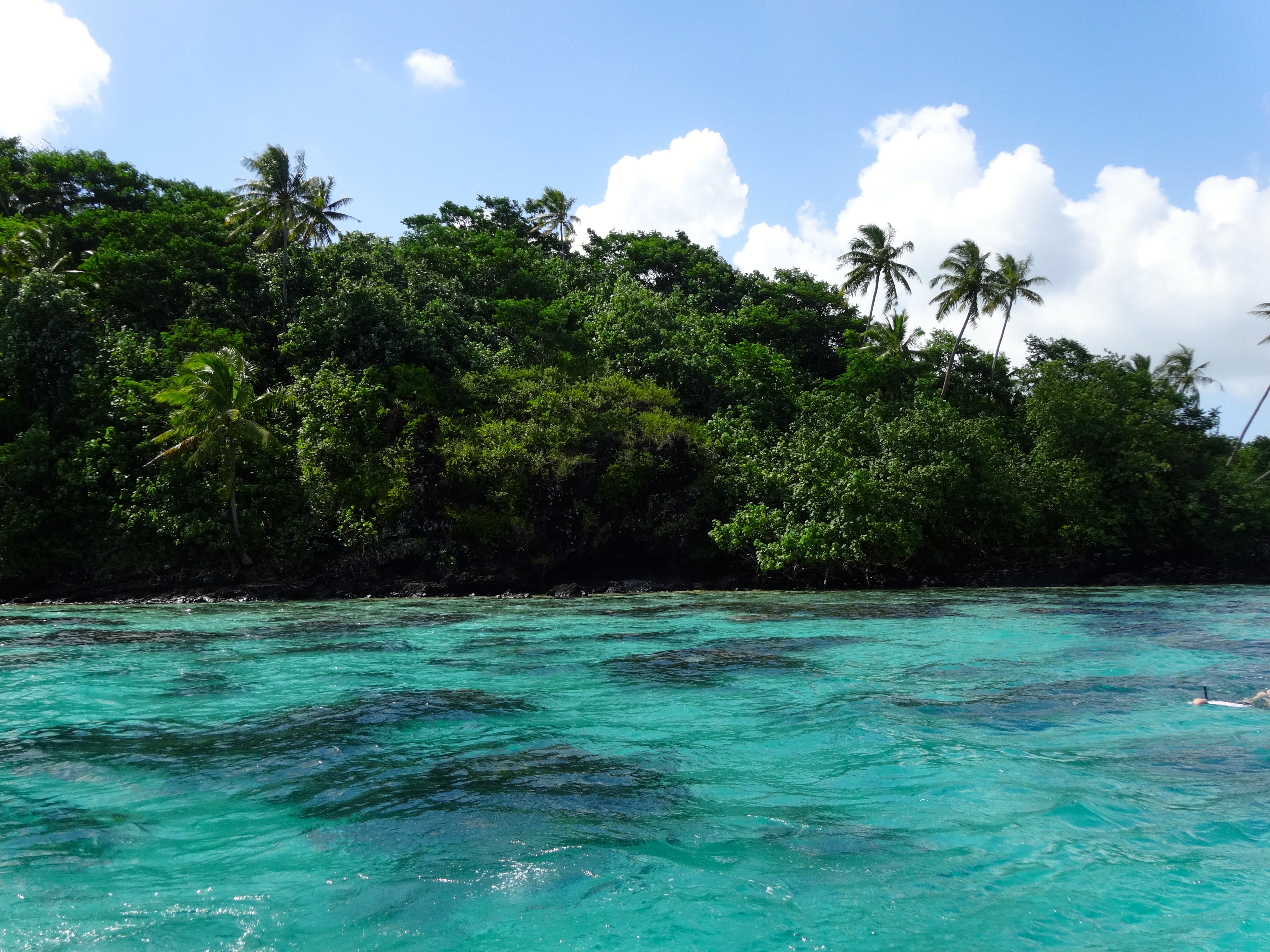
Today I find myself in this truly beautiful place. However, there is something for someone traveling here to be aware. I’ll begin with a brief public service message. Chikungunya is a virus carried by mosquitoes and transmitted to humans through a bite. It’s symptoms can be severe and may last longer than anyone wants. Although deaths from the virus are rare, they are not unheard of. The symptoms may include rash, fever, headache, severe joint pain and swelling, and muscle pain. There is no vaccine so the only way to avoid it is not to be bitten in the first place. These islands are not the only place one may find the virus, so before you travel to warm tropical places check with the CDC at cdc.gov/chikungunya/. Enough about that. Just suffice to say I have my share of repellant and wrist bands to wear while visiting these beautiful islands.

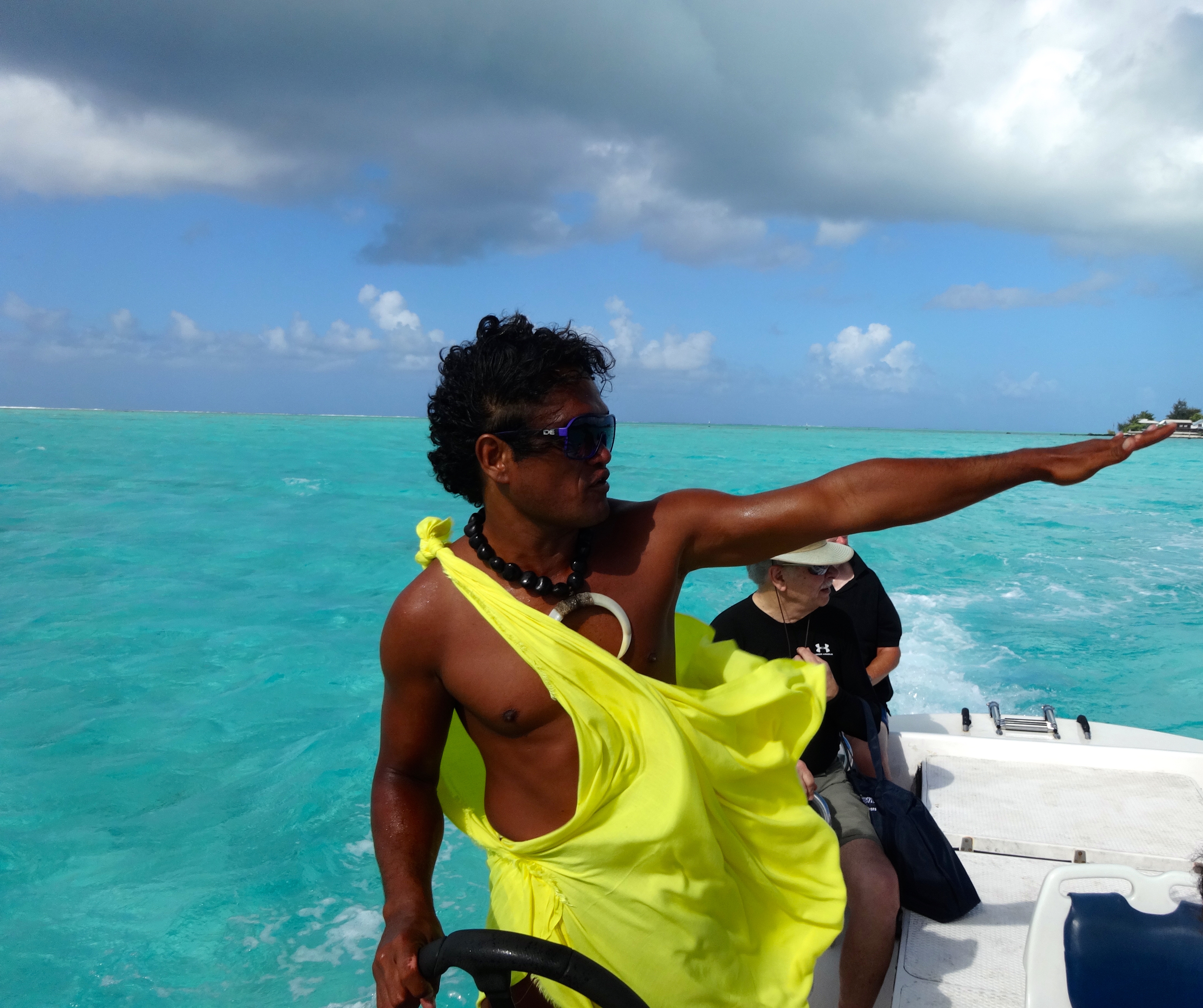
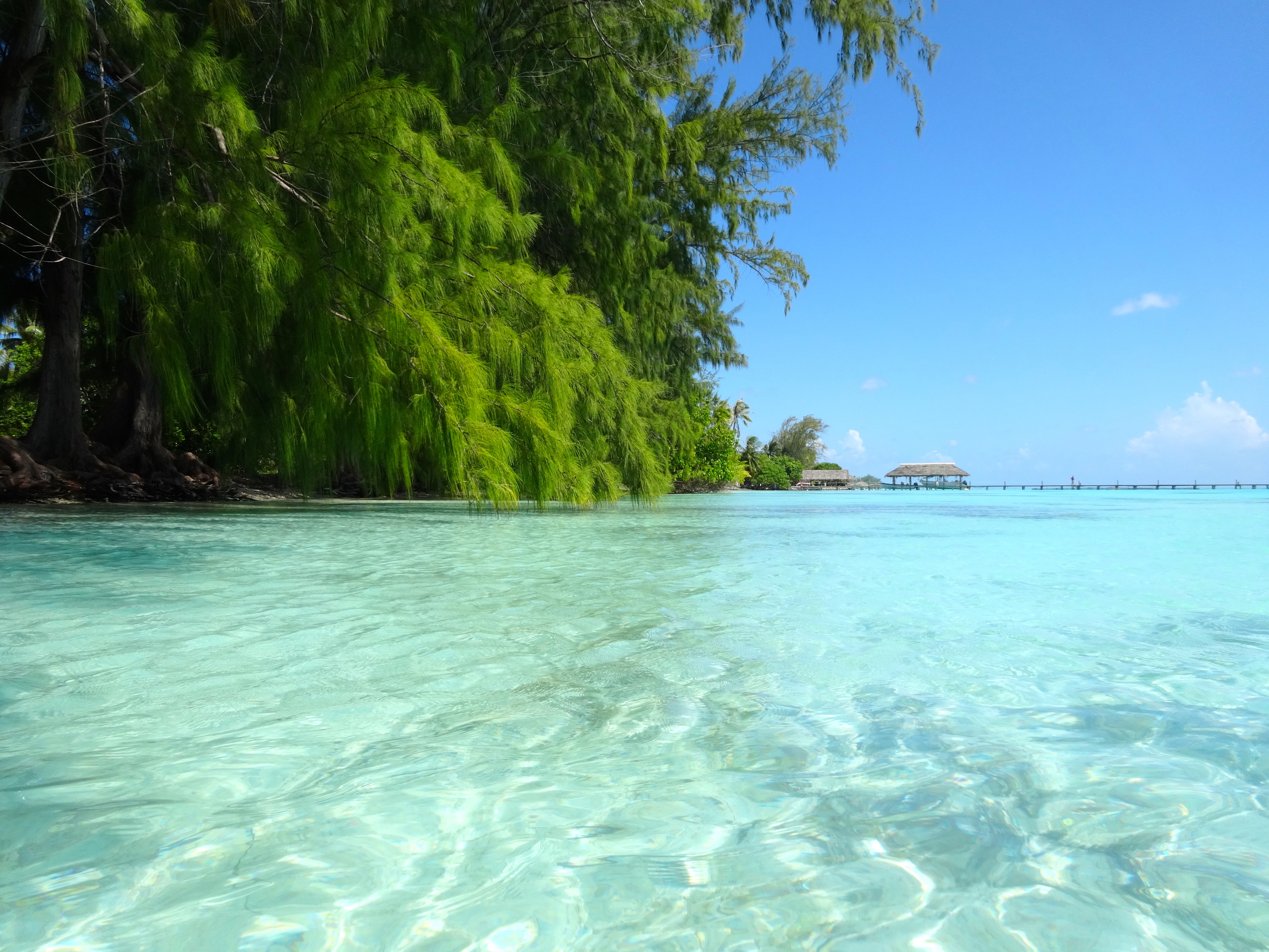
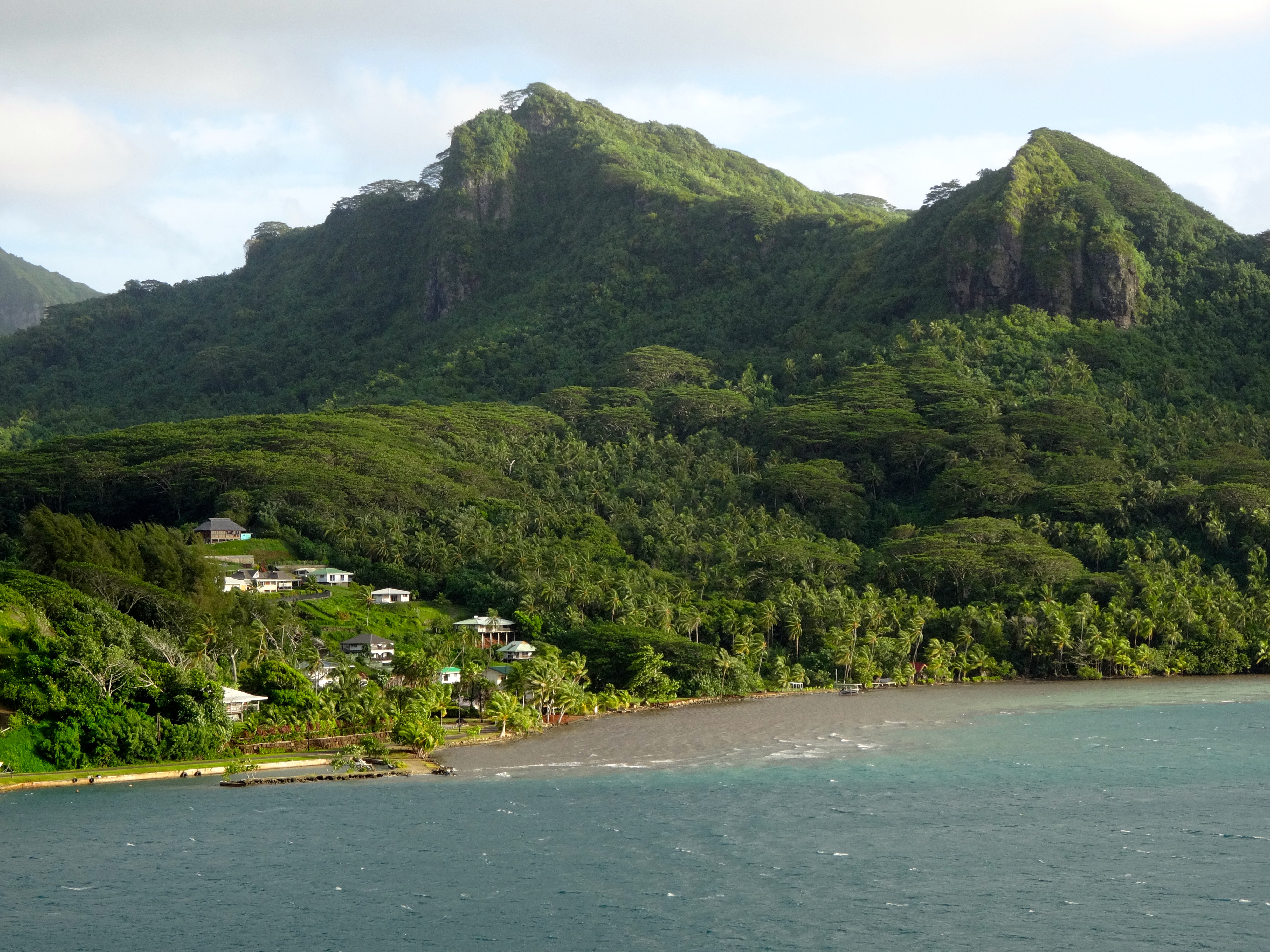
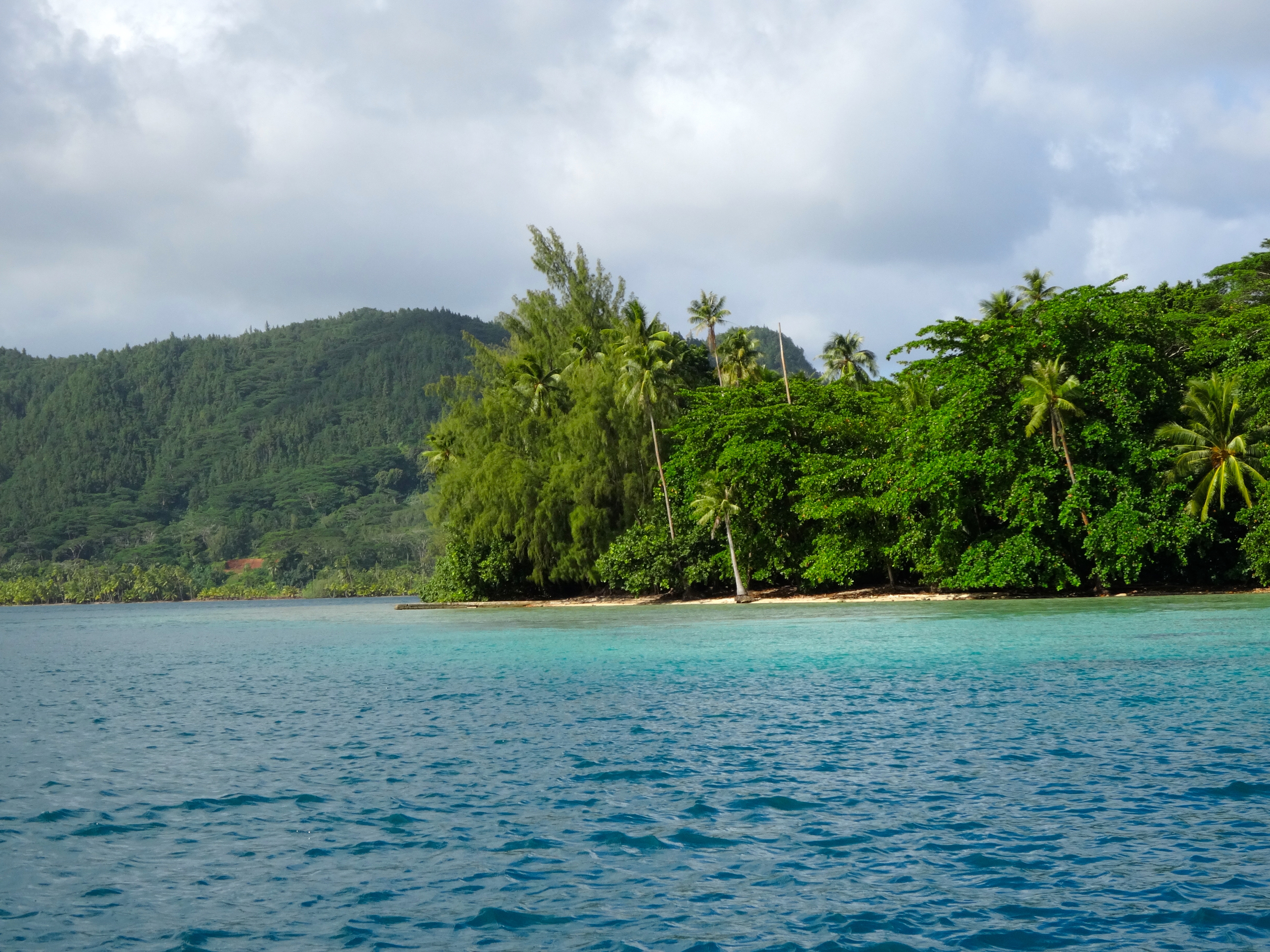
Huahine is a tiny island with only 6,000 inhabitants. As you can see from the attached pictures, the water is awesome. Lots and lots of underwater life. When I find myself in these tropical waters, which are so very abundant with life, it makes me want to live in their beautiful underwater

Huahine (Private Residences)
Huahine
Huahine


Huahine beach scene
Huahine beach scene
Snorkel site on Huahine

world. I snorkel every opportunity I get while I’m here.

The people who live here are fluent in four languages (Tahitian, French, English and Spanish). Life is very simple for them and poverty, while it exists is extremely rare.